

The Breath of the Atlantic
I. The Water, Before It Falls
Before water falls on La Palma as rain, it is invisible. It lies as water vapor in the air over the Atlantic – distributed in a humid current carried south and west by the trade winds. No stream announces it, no spring, no glistening drop on a laurel leaf. As yet, the water cannot be distinguished from the air by the naked eye: H₂O molecules, free among the atmospheric gases. Its journey begins on the ocean. Solar energy warms the sea surface and drives evaporation, the release of water into the atmosphere. Transitioning from a liquid to a gaseous state, the water absorbs energy as latent heat. Along with the water vapor, energy is thus transported as well.
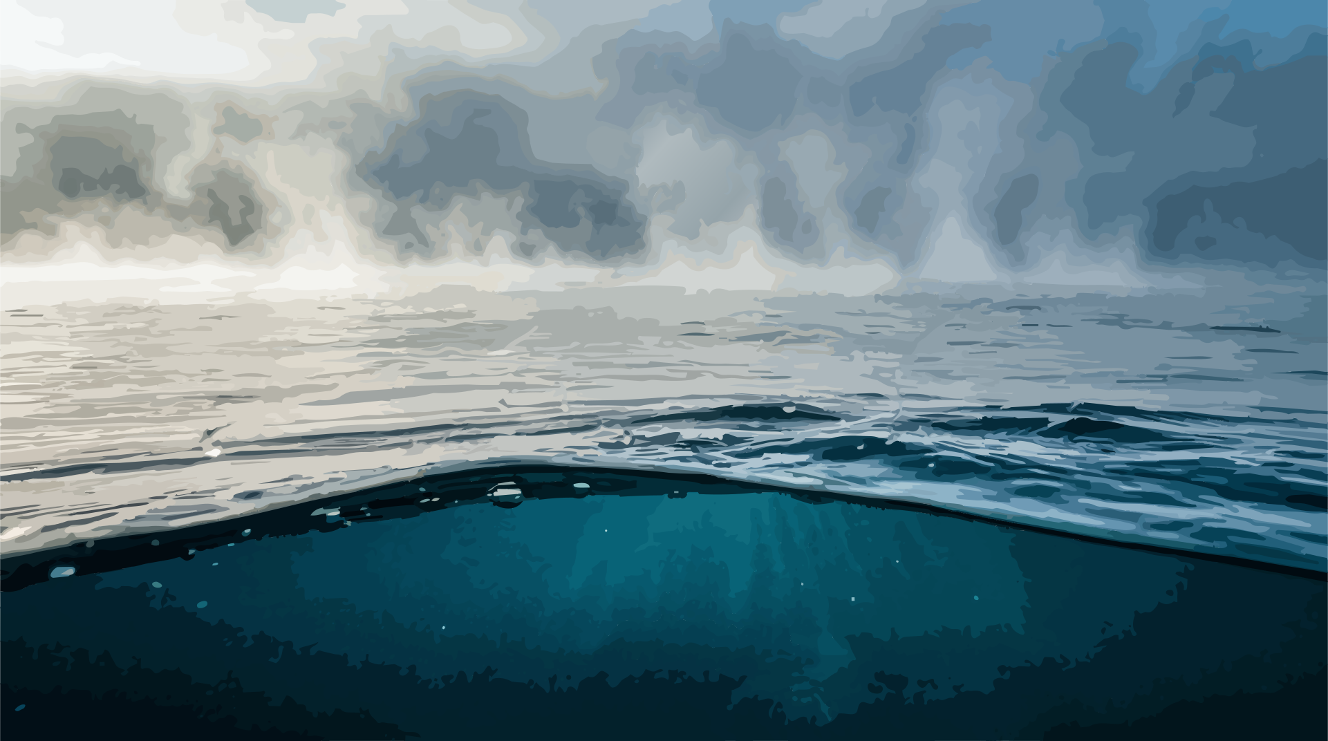
Over the subtropical North Atlantic, this transport is part of a large-scale atmospheric circulation. The northeast trade winds carry humid maritime air toward the Canary Islands. Over open water, little of this can be seen. Only where the air encounters La Palma does its path become visible. Then the mountain stands in the way. La Palma rises steeply from an ocean floor several thousand meters deep up to an elevation of over 2,400 meters. The island acts as an orographic obstacle: the incoming air stream cannot evade the relief and is forced to ascend the slopes. Orographic lift is the name of this process. With increasing altitude, atmospheric pressure drops. The rising air expands and cools in the process – in unsaturated air, dry-adiabatically by about 0.98 degrees Celsius per hundred meters of elevation. Eventually, it reaches its dew point. The air is now saturated with water vapor; relative humidity hovers near 100 percent. Condensation begins. Water vapor transforms into microscopic liquid droplets. For this, it requires surfaces where molecules can gather: sea salt, mineral dust, organic particles. These suspended particles serve as condensation nuclei. Upon them, the first water droplets grow. The air becomes visible.
Over the steep northeastern slopes of La Palma, a deep, dense layer of clouds forms. Upward growth is frequently constrained by the trade wind inversion – a stable atmospheric stratification in which temperature increases with altitude, impeding vertical exchange.
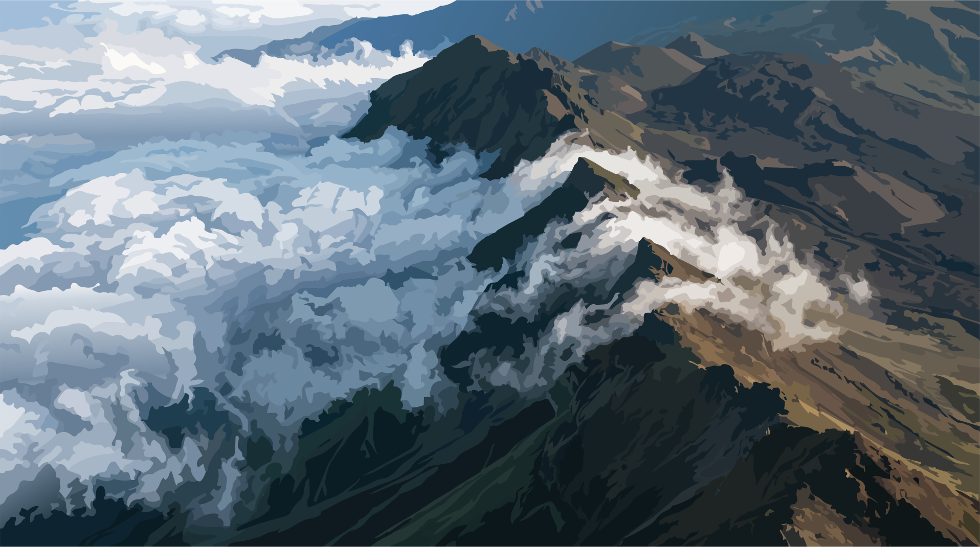
From a distance, this cloud looks like a calm, white expanse. In the forest, it is suddenly water.
II. The Cloud That Lingers on the Mountain
A cloud has no fixed boundary. It is a dynamic equilibrium of condensation, evaporation, and air flow. Droplets form, grow through coalescence, evaporate again, and are carried further by the air. What appears from the valley as a serene body is, in reality, a continuous exchange between water and the atmosphere. On La Palma, this humid air meets the forest. In the canopy of the laurisilva, tiny cloud droplets come into contact with leaves, twigs, lichens, and mosses. The droplets cannot always fully follow the airflow. Through inertial impaction, they strike the vegetation. There they adhere to surfaces – held by adhesion and surface tension. A drop grows larger. Then a second. They merge, continue to grow, and finally begin to run off under their own weight. Water thus enters the forest directly from the cloud.
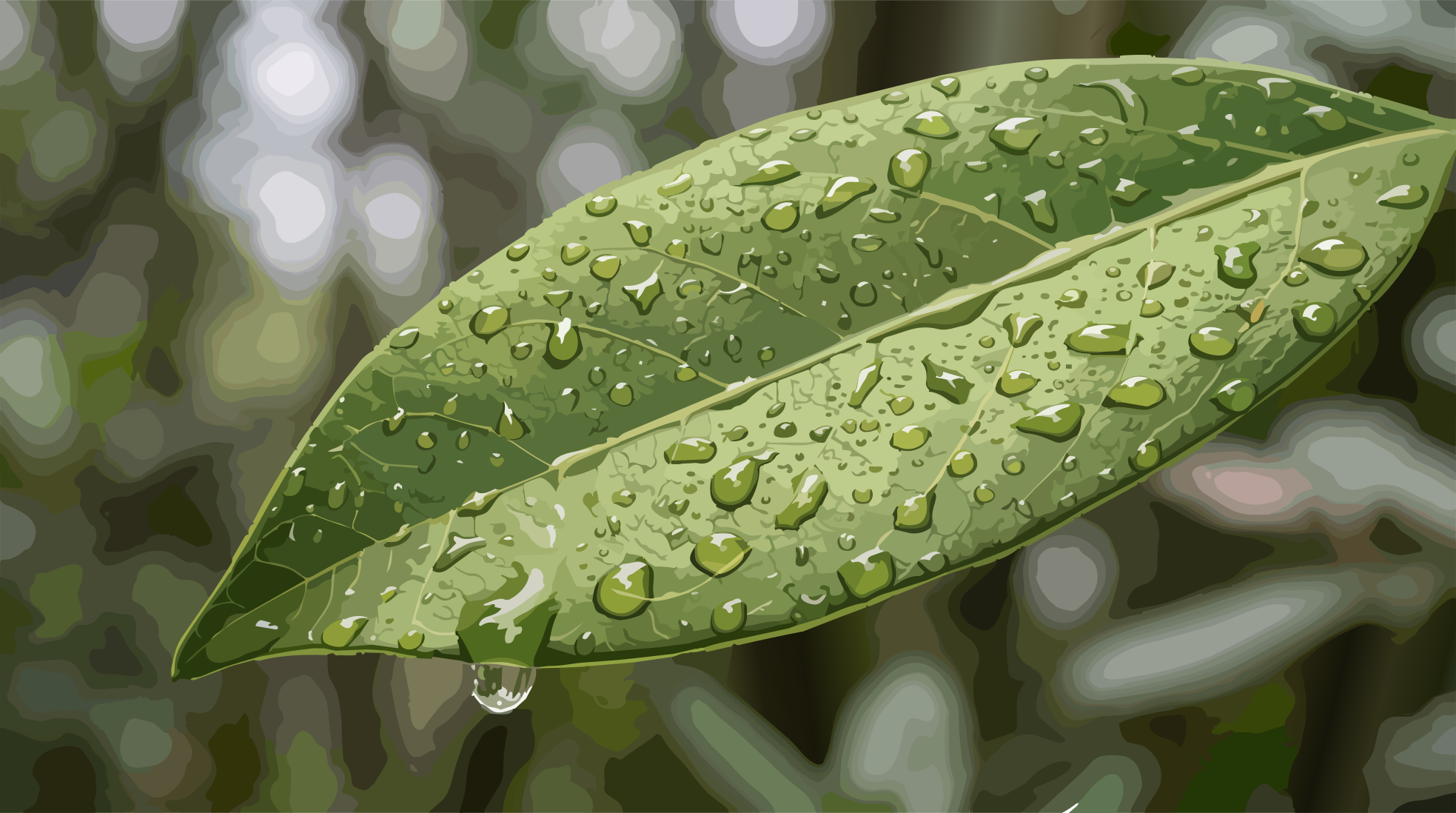
This process is known as cloud water interception or fog interception. The subsequent dripping of the collected water is often referred to as fog drip. For a mountain forest, this input can be considerable. Conventional rain gauges capture it only incompletely: they primarily measure water falling from above. Cloud water, by contrast, arrives laterally – from the airflow, directly onto the vegetation. Yet the cloud delivers more than just water. It alters the microclimate immediately above the forest floor. It attenuates solar radiation, lowers the temperature, and keeps the air humid. As a result, the vapor pressure deficit (VPD) decreases: the difference between the actual water vapor present and the maximum amount the air could hold at that same temperature. The smaller this deficit, the lower the evaporative demand of the atmosphere. For plants, this means reduced water loss. Through their stomata – the microscopic pores on the leaves – they regulate exchange with the atmosphere. In very humid air and low VPD, transpiration can decline significantly. The cloud thus brings water to the forest while simultaneously altering the conditions under which that water is lost again.
III. The Forest That Touches the Sky
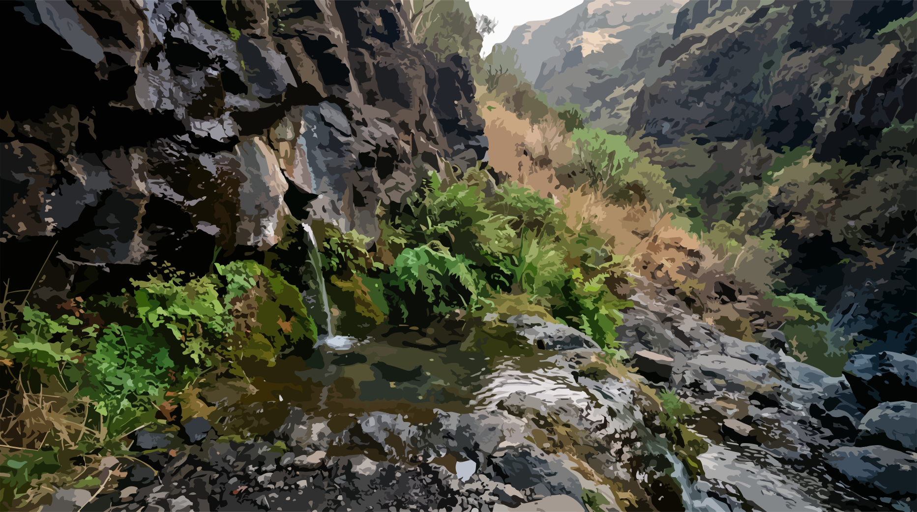
Anyone walking through the humid forests in northern La Palma quickly notices how closely vegetation and atmosphere are intertwined here. Fog drifts between the trunks. Mosses retain water within their delicate structures. Lichens coat the bark of the laurel trees. Drops gather on leaves and twigs, trickling down the trunks. The tree canopies form a three-dimensional surface. For the cloud, this forest is a dense network of obstacles where water can be intercepted.
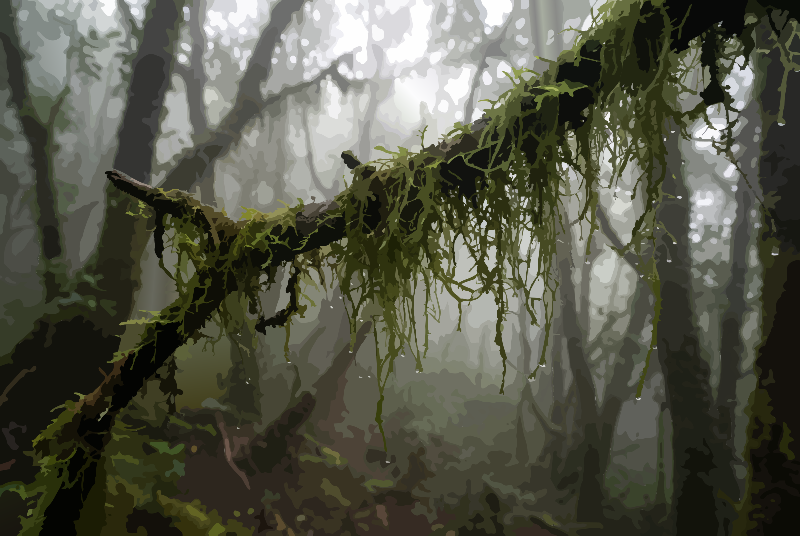
Part of the water initially remains in the canopy space. Mosses, lichens, and other epiphytes store it on their surfaces. Another portion evaporates back into the air. The remainder reaches the ground with a delay – as throughfall or stemflow. In this way, a brief atmospheric event is transformed into a prolonged water input. This delay continues at the ground level as well. A closed canopy protects the surface from the force of raindrops. Leaf litter and organic matter cover the soil. Roots permeate the upper horizons, creating a finely branched conduit system alongside natural cracks and pores. The water infiltrates. It penetrates from the surface into the soil and subsequently moves downward through pores and fissures – a process known as percolation. Depending on the soil structure, part of the water can reach deeper layers remarkably fast. From this point, it disappears from view. La Palma is built from a multitude of volcanic deposits: basaltic lava flows, porous scoria and lapilli, tuffs, and other pyroclastic materials. In between lie fissures and volcanic dikes. Each of these structures can treat water differently. The hydraulic conductivity of a rock describes how easily water can flow through it. In highly porous or fractured areas, water can seep down rapidly. Compact or hydrothermally altered bedrock, on the other hand, can severely impede the flow. The water therefore follows no straight path. It seeks open pores and fractures, hits less permeable layers, dodges laterally, and accumulates temporarily. The surface has absorbed the water. Now its journey inside the volcano begins.
IV. The Hidden Journey
On the surface, water vanishes quickly. A rain shower falls. Streams swell. Damp rocks dry out again. Underground, however, that same water input can remain active over long periods. Part of the water moves in shallow, heavily fractured zones. Another part penetrates deeper into the island's body. How long the water remains in transit depends on its flow path, rock structure, and hydraulic conditions. This residence time can be short – or very long. La Palma's groundwater is not an underground lake. It moves through complex volcanic aquifer systems: rock bodies capable of storing and transmitting water. A special role is played by dikes: vertical volcanic intrusions that cut through younger and older lava layers. They can obstruct groundwater flow if their rock is poorly permeable. Conversely, if heavily fractured, they can themselves form preferential flow paths. Geology thus prescribes no single path for the water. It offers a network of possibilities.
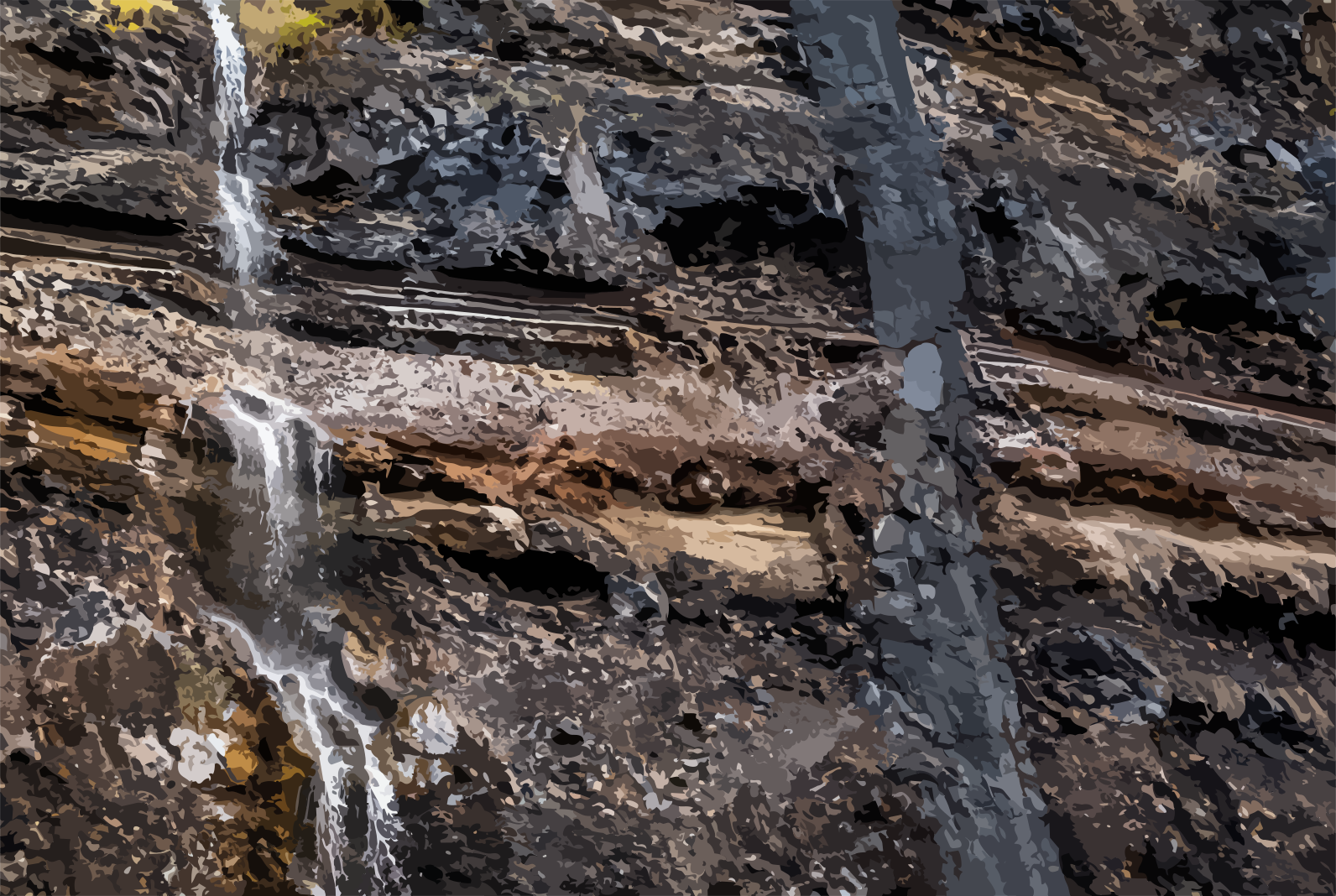
An ancient lava layer can still influence the path of percolating water today. An open fracture becomes a conduit. A poorly permeable tuff layer deflects the water stream laterally. The island's eruptive history is thus simultaneously its hydrogeology. Underground, time changes as well. The rain of a stormy day is history on the surface after a few hours. Subsurface, the same precipitation can act long afterward as groundwater recharge. The additional water input alters pressure conditions within the aquifer and can propagate through the system as a hydraulic signal. When water finally emerges at a spring deep inside a barranco, it may originate from precipitation events of varying ages. The subsurface preserves a hydrological history that has long passed on the surface.
V. The Island Drinks
La Palma distributes its water unequally. The northeastern slopes frequently lie under the influence of the trade wind fog. On the leeward side of the mountain range, the climate is significantly drier. Only a few kilometers lie between these two areas – yet solar radiation, temperature, and humidity can diverge vastly. For agriculture and settlement, this disparity has always posed a challenge. Humans therefore began to tap the underground path of the water.
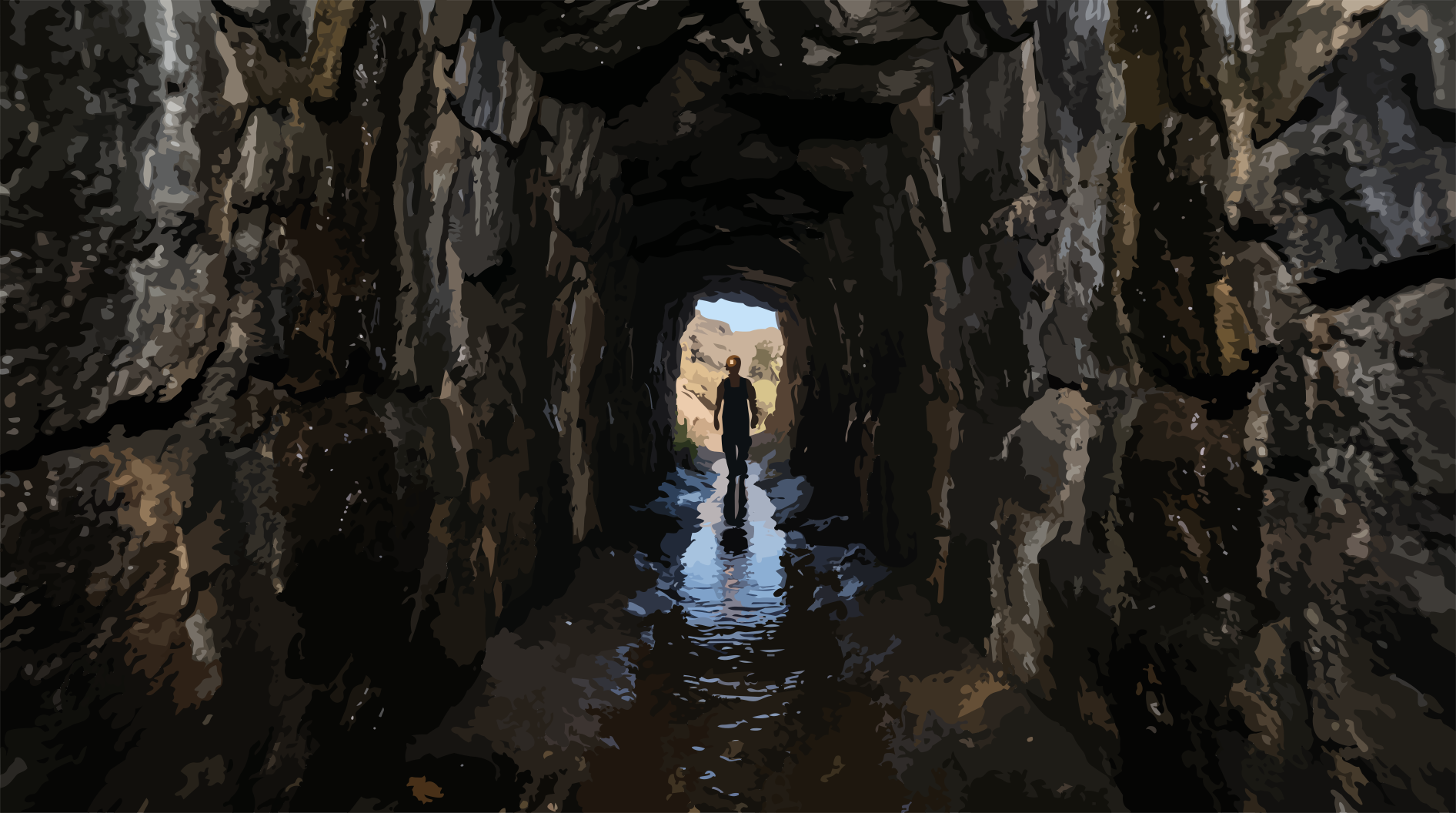
Since the 19th century, galerías have been driven into the volcanic flanks: horizontal water tunnels that reach water-bearing strata and fractures to bring groundwater to the surface. From there, it is routed through an extensive distribution system. Traditional open channels, the atarjeas, and pipelines carry water across the island – often from the wetter slopes to agricultural areas with higher water demand. In doing so, humans alter the time water spends within the system. What under natural conditions might remain underground for long periods or reach the sea via subterranean pathways is brought to the surface earlier. For the water molecule itself, nothing changes. It follows the physical gradient that determines its path: the hydraulic potential gradient. Through a fracture in the rock. Through a tunnel. Through an atarjea. Always the same substance. Always the same physics.
VI. The Fiery Aridity of the Leeward Side
Crossing the Cumbre mountain ridge from east to west can bring you into a completely different climatic world within a short distance. On the windward side, humid trade wind air has ascended. It has cooled and lost part of its water through condensation and precipitation. Beyond the drainage divide, the descent begins. With increasing depth, atmospheric pressure rises. The descending air compresses and warms – in unsaturated conditions dry-adiabatically at nearly ten degrees Celsius per kilometer. The air grows warmer while the amount of remaining water vapor initially increases comparatively little. Its relative humidity drops. Cloud droplets evaporate. The cloud disappears.
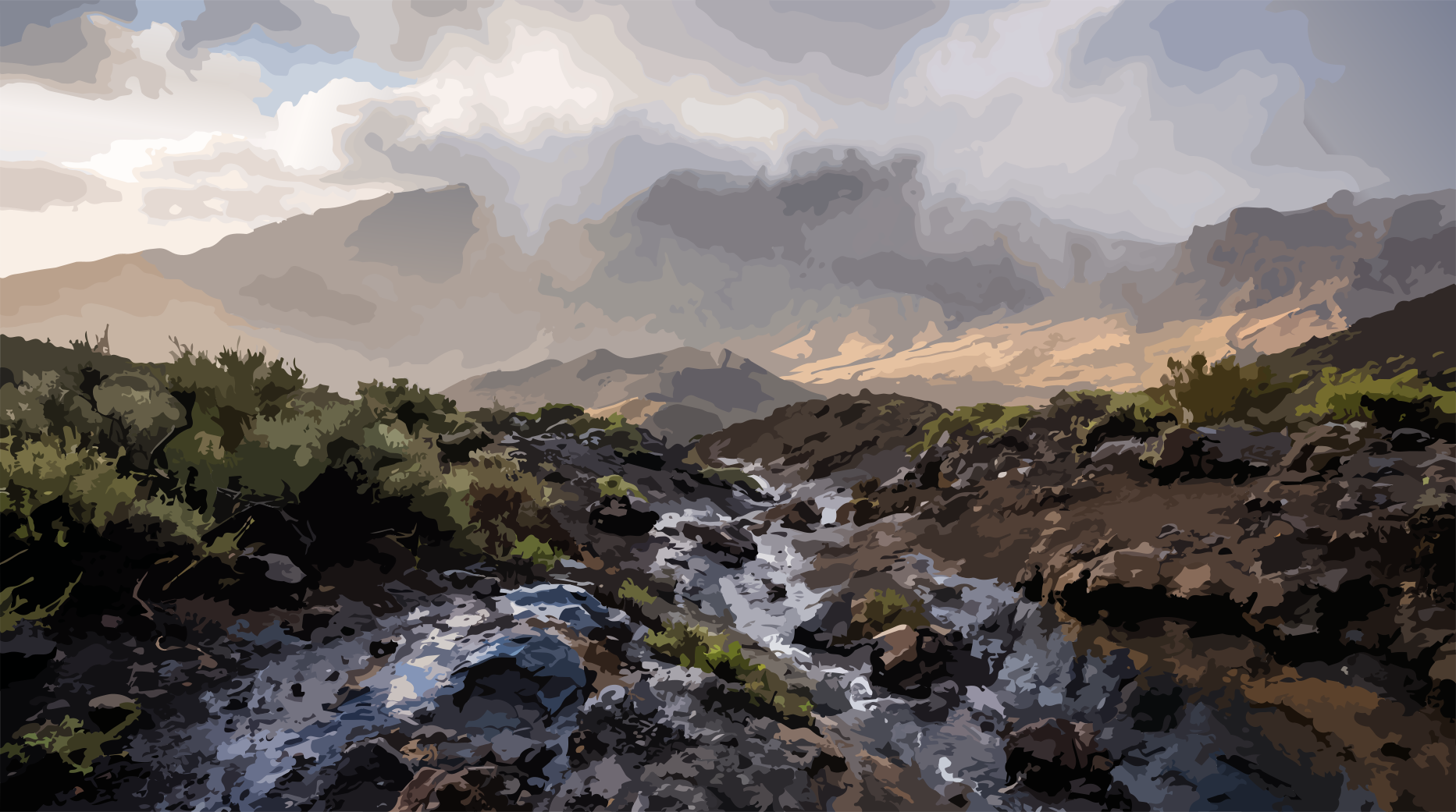
A foehn-like drying effect occurs: on the leeward side, the air can arrive significantly warmer and drier than it was at a comparable elevation on the windward side. Within a short distance, the world of fog turns into an arid landscape. This also increases the evaporative demand of the atmosphere. Evapotranspiration is the term for the sum of evaporation – the evaporation from soil and water surfaces – and transpiration, the release of water by plants. A millimeter of rainfall therefore carries a different significance on a dry, sun-exposed slope than in a cool cloud forest. Here, water can rapidly return to the atmosphere. There, it can remain longer within the system. The water balance of a landscape is therefore always a matter of time.
VII. When the Balance Falters
Climate change does not alter such an island system through a single event. It shifts the conditions under which its water cycle operates. With rising temperatures, the saturation vapor pressure of the air increases. The Clausius-Clapeyron relation describes this connection: for every degree of warming, the maximum water vapor capacity of saturated air near the ground can increase by approximately seven percent. This does not mean that the atmosphere automatically contains seven percent more water. What is decisive is how temperature and actual humidity change together. If the temperature rises while relative humidity remains constant, the vapor pressure deficit grows. The atmosphere can then draw water more forcefully from the soil and vegetation. For La Palma, this alters the water balance. Precipitation alone describes it incompletely. Crucial is the interplay of rain, cloud water interception, infiltration, groundwater recharge, and evapotranspiration. The intensity of rainfall plays a role as well. Heavy rainfall can deliver large volumes of water in a short time. If the soil's infiltration capacity is exceeded, surface runoff increases. Water then reaches the sea faster via gullies and barrancos.
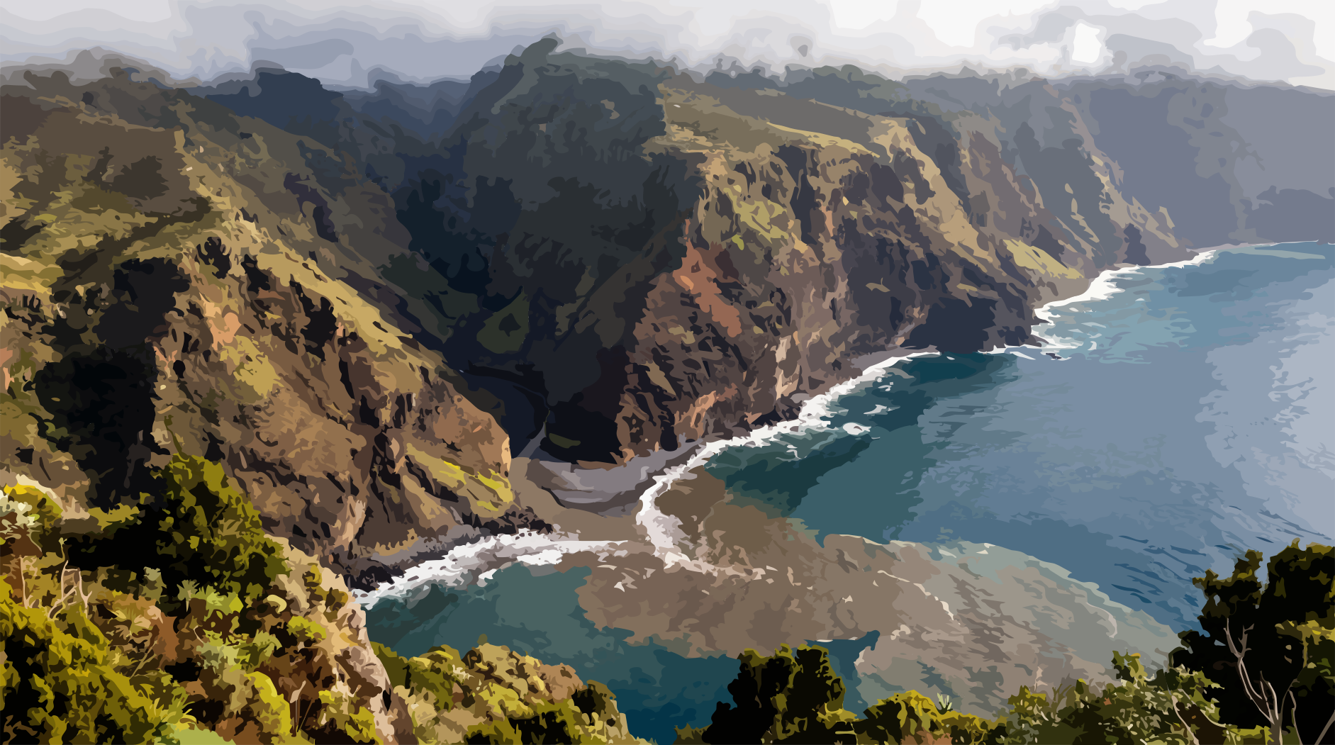
On permeable volcanic soils, however, even intense rain can seep down rapidly. What happens depends on soil moisture, vegetation, rainfall intensity, duration of the event, and subsurface structure. The decisive question is therefore not merely how much water falls. But when it falls, where it lands – and how long it can remain in the system.
VIII. The Memory of the Island
In the end, water returns to the ocean. Part of it has left the island through plant stomata, returning to the atmosphere as water vapor. Another part has evaporated from the soil, vegetation, or open water surfaces. After heavy precipitation, the barrancos carry water and sediment to the sea. This sediment load consists of material collected by runoff from soils, weathered rock, and volcanic deposits. Another path remains invisible. Groundwater can flow underground toward the coast and discharge into the Atlantic beneath the sea surface as submarine groundwater discharge. Thus, the cycle closes.
Ocean → Evaporation → Trade Winds → Condensation → Forest → Infiltration → Groundwater → Plant → Atmosphere → Ocean
The water never permanently belongs to the island. La Palma is a segment of the global hydrological cycle: a volcanic mountain range that absorbs water from the atmosphere, guides it through vegetation and soil, stores and transmits it within rock – and ultimately releases it again.
The ocean evaporates. The trade wind transports. The mountain lifts the air. Cooling brings water vapor to condensation. The forest intercepts water from clouds and rain. The soil lets it infiltrate. The rock conducts and stores it. Humans divert a portion of it. The sun drives its return to the atmosphere. Gravity leads it back to the sea.
La Palma is not a place where water rests. It is a place where water changes its form, its path, and its velocity between atmosphere, vegetation, soil, and rock. Before it moves on.
- [1]U.S. Geological Survey. Igneous and metamorphic-rock aquifers. U.S. Geological Survey (USGS)https://pubs.usgs.gov/circ/circ1182/
- [2]U.S. Geological Survey. Volcanic aquifers of Hawai‘i—Hydrogeology, water budgets, and conceptual models. U.S. Geological Survey (USGS)https://pubs.usgs.gov/pp/1412b/
- [3]Instituto Geológico y Minero de España (IGME-CSIC); Consejo Insular de Aguas de La Palma (CIALP). Proyecto HIDRO La Palma. Instituto Geológico y Minero de España (IGME-CSIC)https://www.igme.es/proyecto/proyecto-para-la-actualizacion-y-mejora-del-conocimiento-hidrogeologico-de-la-isla-de-la-palma/
- [4]Ministerio para la Transición Ecológica y el Reto Demográfico. Planes hidrológicos vigentes (2022-2027) – Plan Hidrológico Insular de La Palma, tercer ciclo. Ministerio para la Transición Ecológica y el Reto Demográfico (MITECO)https://www.miteco.gob.es/es/agua/temas/planificacion-hidrologica/planes-cuenca-2022-2027.html
- [5]Dirección General del Agua; Ministerio para la Transición Ecológica y el Reto Demográfico. Apéndice 1.21 – La Palma: Informe de seguimiento de Planes Hidrológicos y Recursos Hídricos - 2023. Ministerio para la Transición Ecológica y el Reto Demográfico (MITECO)https://www.miteco.gob.es/content/dam/miteco/es/agua/temas/planificacion-hidrologica/21-PAL_2023.pdf
- [6]Intergovernmental Panel on Climate Change (IPCC). Chapter 11: Weather and Climate Extreme Events in a Changing Climate. Intergovernmental Panel on Climate Change (IPCC)https://www.ipcc.ch/report/ar6/wg1/chapter/chapter-11/
- [7]Intergovernmental Panel on Climate Change (IPCC). Chapter 2: Changing State of the Climate System. Intergovernmental Panel on Climate Change (IPCC)https://www.ipcc.ch/report/ar6/wg1/chapter/chapter-2/
- [8]National Weather Service / NOAA. Skew-T Log-P Diagrams. National Oceanic and Atmospheric Administration (NOAA)https://www.weather.gov/jetstream/skewt
- [9]National Weather Service / NOAA. How Clouds Form. National Oceanic and Atmospheric Administration (NOAA)https://www.weather.gov/jetstream/clouds
- [10]J. J. Bustos; C. Marrero. La inversión del alisio como factor determinante de la meteorología en Canarias. Agencia Estatal de Meteorología (AEMET)https://repositorio.aemet.es/bitstream/20.500.11765/6760/1/Inversion_Bustos.pdf
- [11]Axel Ritter; Carlos M. Regalado; Guido Aschan. Fog reduces transpiration in tree species of the Canarian relict heath-laurel cloud forest (Garajonay National Park, Spain). Tree Physiology / Oxford University Presshttps://doi.org/10.1093/treephys/tpn043
- [12]G. García-Santos; M. V. Marzol; G. Aschan. Water dynamics in a laurel montane cloud forest in the Garajonay National Park (Canary Islands, Spain). Hydrology and Earth System Sciences / Copernicushttps://doi.org/10.5194/hess-8-1065-2004
- [13]Annetty Benavides Gelabert. Hydrogeology of the Caldera de Taburiente National Park area, La Palma (Canary Islands). Boletín Geológico y Minero / Consejo Superior de Investigaciones Científicas (CSIC)https://doi.org/10.21701/bolgeomin.130.4.004
- [14]Roberto Poncela; Juan C. Santamarta; Alejandro García-Gil; Noelia Cruz-Pérez; Elzbieta Skupien; Javier García-Barba. Hydrogeological characterization of heterogeneous volcanic aquifers in the Canary Islands using recession analysis of deep water gallery discharge. Journal of Hydrology / Elsevierhttps://doi.org/10.1016/j.jhydrol.2022.127975
Comments
No comments yet. Be the first to write one.