Climate and Water Balance
On La Palma, water isn't a side topic - it's the key to understanding landscape and use.
Back to La Palma overview
Water as the Lifeline.
Why trade winds, cloud accumulation, and elevation determine moisture, vegetation, and irrigation.
Regional climate contrast
Water on La Palma is not distributed evenly. It does not follow a uniform pattern, but rather the invisible lines of wind, elevation, and terrain. The island exists in a constant interplay between the moist breath of the Atlantic and the drier rain-shadow slopes beyond the mountains. To understand how water moves across La Palma is, in many ways, to understand how life on the island begins, adapts, and endures.
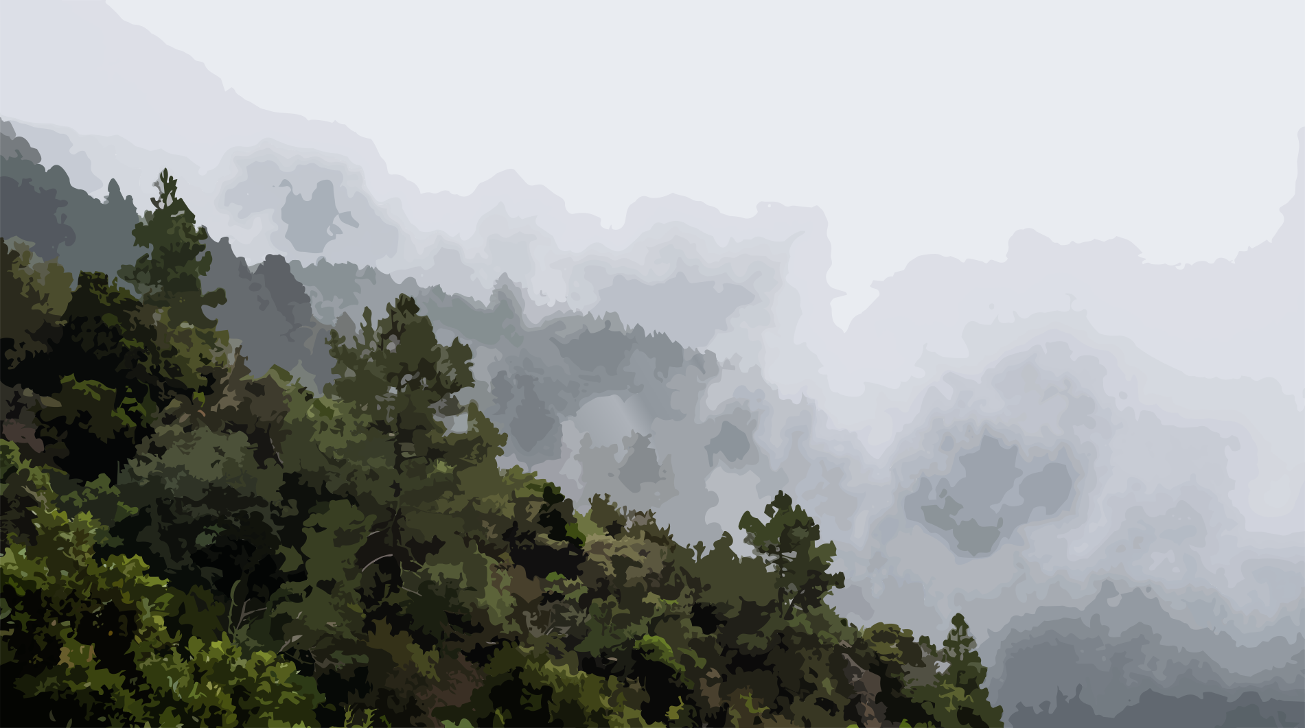
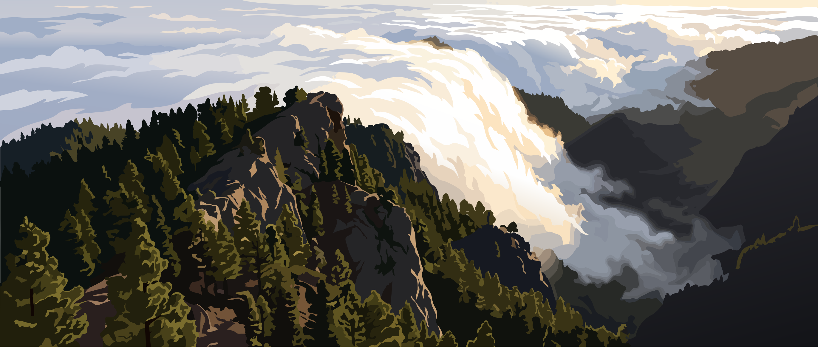
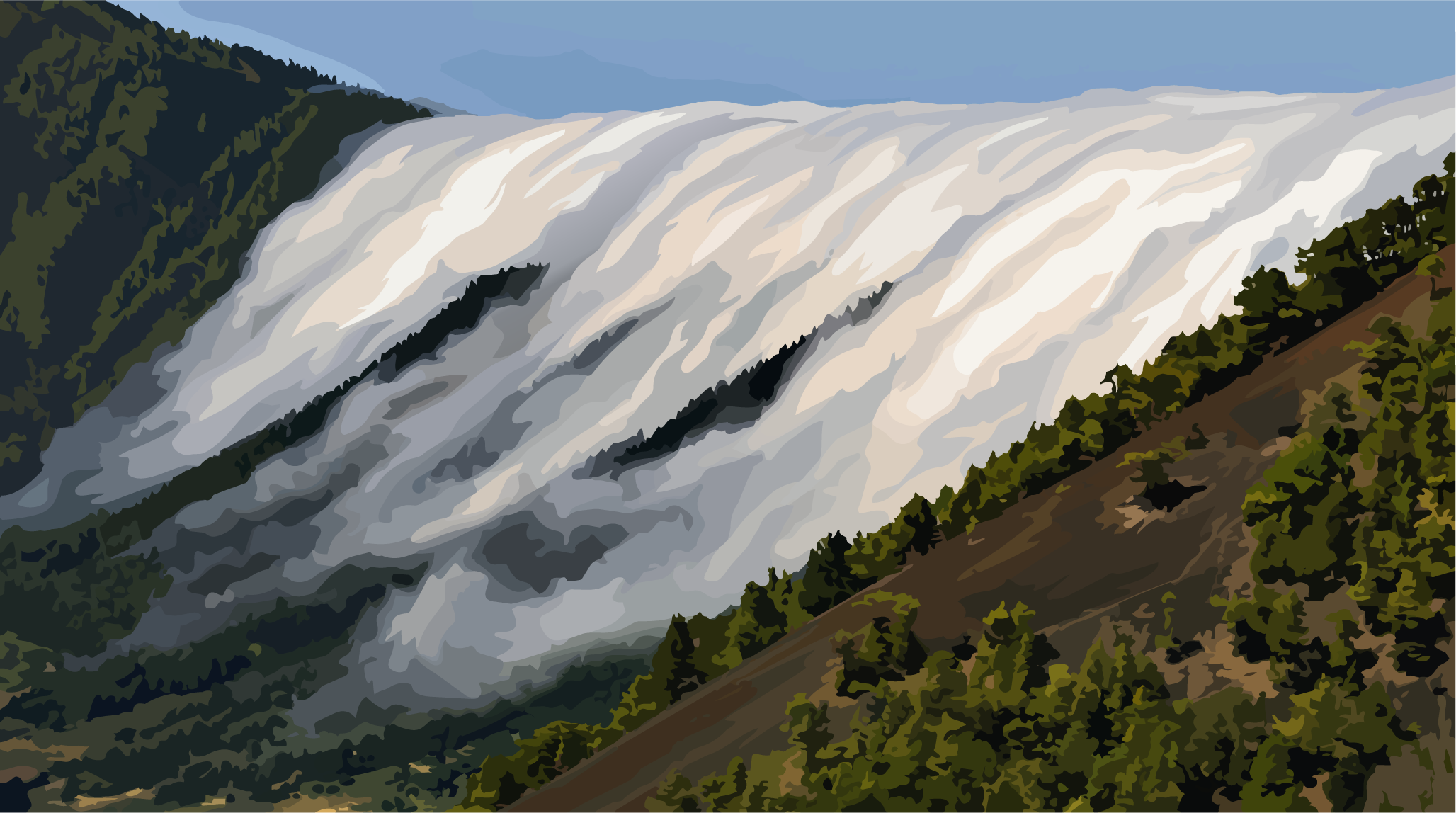
The northeastern trade winds are the island's most important climatic force. They carry moist air masses from the Atlantic, which accumulate along the northern and northeastern slopes. As the air rises, it cools, condenses into dense cloud banks, and settles over the middle elevations like a veil of moisture. This phenomenon, known as the trade wind cloud layer, provides certain parts of the island with significantly higher rainfall and humidity than others.
On the opposite side of the island, the landscape tells a very different story. Western and southwestern La Palma lie in the rain shadow of the central mountain range. While moisture condenses on the windward slopes, warmer and drier air descends on the leeward side. The result is a striking contrast in microclimates over remarkably short distances—often only a few kilometers apart, yet with entirely different conditions for vegetation, soil moisture, and land use.
Practical implications
Elevation plays an equally important role in this finely balanced system. As altitude increases, temperatures decline while the likelihood of cloud formation rises. Across the middle elevations, this creates a dynamic belt of mist, humidity, and shifting sunlight—a zone where vegetation and the local water balance respond with great sensitivity to even subtle climatic variations.
The orientation of the landscape further amplifies these differences. North- and northeast-facing slopes tend to be cooler, shadier, and more humid, whereas south-facing slopes receive more direct sunlight and experience considerably higher evaporation rates. These contrasts shape not only the island's natural vegetation zones but also every form of human land use, from agriculture and horticulture to water storage and irrigation planning.
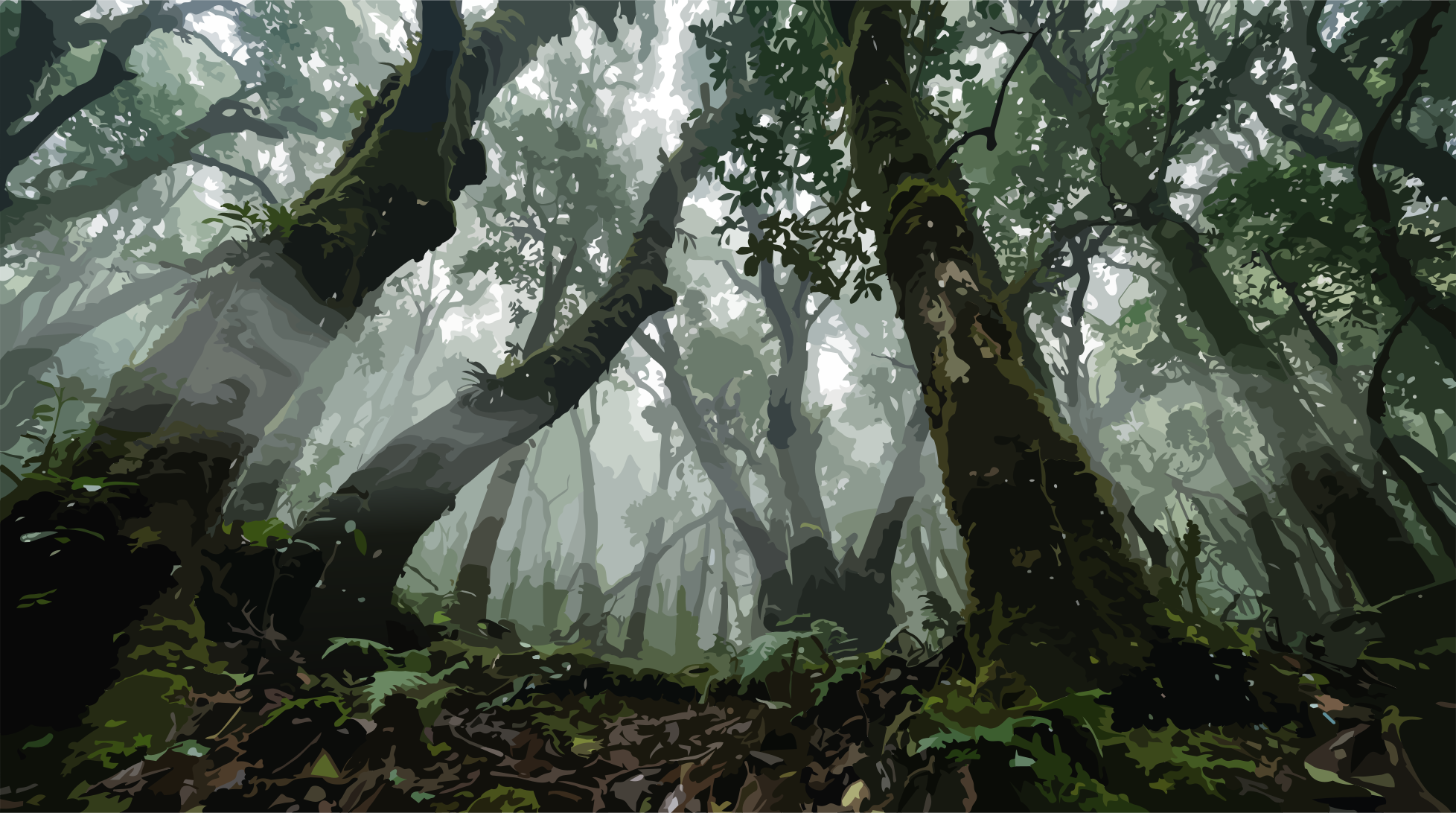
Along the Atlantic coast, all of these influences converge. Wind exposure, salt-laden air, temperature, and topography together determine how quickly water evaporates, how rapidly soils dry, and which plant communities can establish themselves over time. Irrigation and landscape management therefore follow no universal formula, but instead rely on careful adaptation to microclimates that, on La Palma, are not the exception but the defining rule.