• Services>
  • Finca care
  • Garden maintenance
  • Automated irrigation systems
  • Remote control and maintenance
  • Smart finca / Smart home
  • Discover La Palma>
  • An Island of Heights and Coasts.
  • Water as the Lifeline.
  • Regions Full of Contrasts.>
  • Northeast of La Palma.
  • Northwest of La Palma.
  • West of La Palma.
  • South of La Palma.
  • East of La Palma.
  • Central Highlands (Cumbre).
  • Caldera de Taburiente.
  • Fire Shapes an Island.
  • Living with the Volcano.
  • Plant World.
  • Island Wildlife.
  • Agriculture and Daily Life.
  • Stories of the Island.
  • About Arvella
Let's talk
  1. Home
  2. Discover La Palma
  3. Regions
  4. South
Region

Northeast of La Palma.

The Northeast is the island's wettest large-scale zone, strongly shaped by trade winds and cloud build-up.

Back to regions
Region

Northwest of La Palma.

The Northwest combines calm settlement spaces with rugged topography and great distance effects.

Back to regions
Region

West of La Palma.

The West is warmer and drier than many northern slopes and shows high use density.

Back to regions
Region

South of La Palma.

In the South, the younger volcanic landscape dominates with clear forms, wind, and strong solar radiation.

Back to regions
Region

East of La Palma.

The East connects coast and mid-mountains with urban influence and rapid landscape changes.

Back to regions
Region

Central Highlands (Cumbre).

The Cumbre forms the backbone of the island and controls many transitions between north, south, east, and west.

Back to regions
Region

Caldera de Taburiente.

The Caldera is a geological and landscape core area of La Palma with great relief effect.

Back to regions
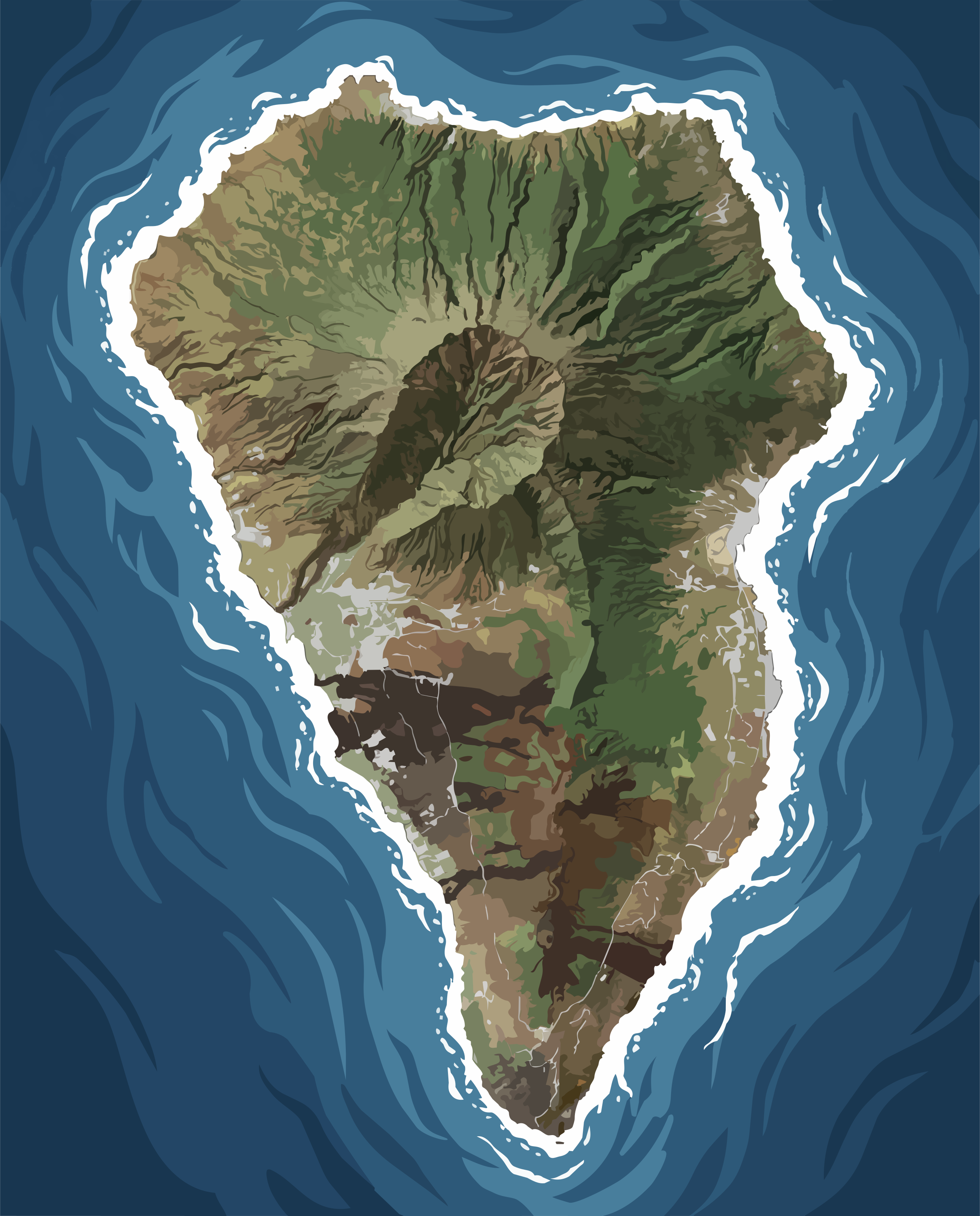
Satellitenansicht von La Palma mit hervorgehobener Region South of La Palma.

Northeast of La Palma.

View larger map

Where the Atlantic Shapes the Landscape

Northeastern La Palma is the greenest part of the island. Here, the moisture-laden trade winds first encounter the island's steep slopes and are forced to rise. Warm Atlantic air transforms into clouds, mist, and regular rainfall, creating the defining character of the entire region. Water is not a scarce resource here, but a constant presence—visible in lush vegetation, moss-covered hillsides, and deeply incised barrancos that have shaped the landscape over thousands of years.

The mountains act as a natural filter. They slow the moist air masses arriving from the Atlantic and create an extraordinary variety of microclimates within remarkably short distances. While the coastal areas are often characterized by sunshine and salt-laden sea air, only a few hundred meters higher, cooler temperatures, drifting cloud banks, and significantly higher humidity become the defining conditions. These transitions occur with surprising speed and give the region its remarkable landscape diversity.

Geologically, the northeast is shaped by ancient volcanic formations whose basalt has weathered over long periods into fertile soils. In the more humid uplands, additional organic material accumulates, forming soils with excellent water-retention capacity. At the same time, the terrain remains demanding. The steep slopes are particularly vulnerable to erosion, especially where natural vegetation has been removed or surface water is allowed to flow unchecked.

The landscape therefore follows its own logic. Agriculture, settlements, and transport routes have adapted to the natural conditions rather than reshaping them. Terraces divide the hillsides, roads follow the contours of the terrain, and every parcel of land is defined by its exposure to the sun, its elevation, and its access to water. Few regions on the island illustrate so clearly how closely climate, geology, and human land use are interconnected.

Despite its apparent consistency, the region is far from uniform. Between the coast and the mid-elevation slopes, light, temperature, and vegetation change within short distances. Views of the Atlantic repeatedly open up before the landscape closes again into dense vegetation and humid forests. It is precisely these continuous transitions that give the northeast its distinctive atmosphere—a landscape that impresses not through isolated landmarks, but through the harmonious interplay of water, topography, and time.

Soils, challenges, and special features

Soil conditions

  • Basalt-derived soils are common and can be nutrient-rich in wetter elevations with active organic horizons.
  • Soil depth, stone content, and slope angle vary strongly over short distances, creating mixed stability conditions.
  • Humus-rich layers store rainfall and fog moisture well but are sensitive to compaction and reduced infiltration.

Challenges

  • Steep terrain limits mechanization and increases effort for maintenance, harvest, and transport.
  • High humidity and rapid moisture shifts increase fungal pressure and demand adaptive vegetation management.
  • Controlled surface-water management with terracing, cover, and drainage is critical to reduce erosion and nutrient loss.

Special features

  • Strong cloud accumulation adds water through fog condensation and stabilizes local moisture balance.
  • The combination of humidity, relief, and elevation bands creates highly diverse and tightly interlinked landscapes.
  • From coast to mid-slope, temperature, humidity, and rainfall can shift significantly over short distances.

Key places and municipalities

Humid landscape near San Andres y Sauces

San Andres y Sauces

  • Historically rooted municipality with strong links to forest and water systems.
  • Useful reference area for humid slope conditions on La Palma.
Coastal and slope landscape near Puntallana

Puntallana

  • Coastal exposure with marked wind and salt-air influence.
  • Transition zone between settlement, agriculture, and steep relief.
Northeastern landscape near Barlovento

Barlovento

  • Higher and wetter sub-zone with stronger cloud interaction.
  • Climatically and topographically demanding maintenance context.

Northwest of La Palma.

View larger map

Between wind, slope, and distance

Between Puntagorda and Garafía, the northwestern part of La Palma unfolds into a landscape of deeply incised barrancos, stepped agricultural terraces, and windswept highlands. The terrain is remarkably rugged, and roads rarely follow the shortest route, instead adapting to the contours of the mountains. Here, distances are measured less in kilometers than in time and accessibility.

The region feels spacious and tranquil, almost understated in its appearance. Yet beneath this calm lies a remarkable structural complexity. Wind exposure, slope orientation, and elevation change within short distances, creating conditions that tie every form of land use to its specific location. Agriculture and landscape management therefore require a precise understanding of these small-scale variations.

Geologically, the northwest is shaped by volcanic formations whose soils have developed very differently depending on their location. Sheltered areas have accumulated finer soils with greater water-retention capacity, while exposed slopes are dominated by shallow, rocky substrates. As a result, the ability of the soil to store moisture varies considerably and is largely determined by the local microenvironment.

The landscape therefore follows a clear internal logic. Land use, cultivation, and accessibility are closely linked to slope orientation, gradient, and water availability. Many areas respond sensitively to disturbance, particularly where vegetation no longer protects the soil or where heavy rainfall reaches exposed hillsides.

Between sheltered valleys and open mountain ridges, pronounced contrasts emerge that directly influence vegetation, soil development, and agricultural potential. It is precisely these constant transitions that define the character of the northwest—a landscape shaped not by uniformity, but by subtle gradations and the interplay of natural forces.

Soils, challenges, and special features

Soil conditions

  • Mainly volcanic soils with highly variable fine-earth cover depending on exposure and erosion dynamics.
  • In steeper sectors, shallow soil depth often reduces buffering capacity and increases drought stress.
  • High-permeability patches support drainage but can raise erosion sensitivity during intense rainfall.

Challenges

  • Strong relief energy increases complexity of access, transport, and maintenance operations.
  • Sharp exposure differences create strongly contrasting microclimates in very small areas.
  • Seasonal water variability requires resilient strategies for both dry spells and heavy rain events.

Special features

  • Low settlement density and original character preserve many near-natural landscape structures.
  • Wide sightlines and wind-exposed ridges define regional perception and increase evapotranspiration pressure.
  • Local field experience remains highly relevant because micro-differences often outweigh generic models.

Key places and municipalities

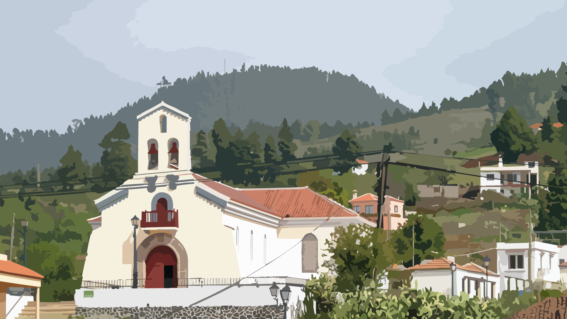
Slope landscape and cultivated areas near Puntagorda

Puntagorda

  • Agriculturally oriented municipality with small-scale parcels.
  • Strong focus on exposure management in daily land use.
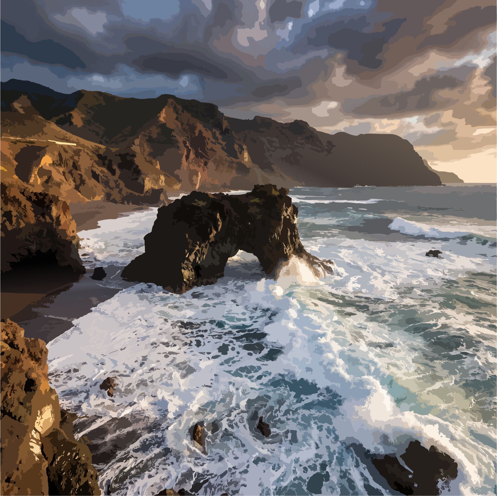
Bujaren ravine, Garafia

Garafia

  • One of the most original regions of La Palma.
  • Low-density settlement and demanding accessibility.
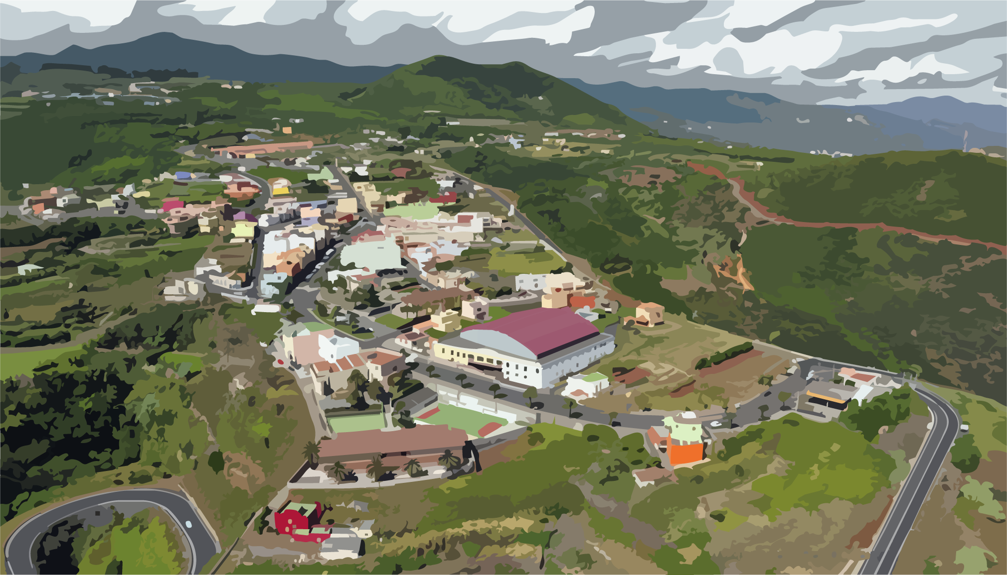
Settlement area of Santo Domingo de Garafia

Santo Domingo

  • Functional local center in the northwest.
  • Operational base for many nearby finca service routes.

West of La Palma.

View larger map

In the shadow of the island – between sun and drying room

Between El Paso, Los Llanos de Aridane and Tazacorte, the western side of La Palma opens into a broad, sun-drenched landscape. Large parts of the region lie in the lee of the central mountain range, which creates a noticeably drier and warmer climate than on the eastern side. Light and openness shape the first impression of the landscape here.

The humid trade winds lose much of their moisture as they pass over the island’s interior before reaching the west. This results in pronounced dry zones, where water availability becomes a decisive factor for any form of use. Agriculture here is closely tied to irrigation systems and carefully managed water distribution.

Geologically, the region is strongly shaped by volcanic activity. Old and more recent lava flows form a layered relief of basalt fields, ridges and fresh deposits. In some areas, fertile soils have developed over long periods, while other zones still clearly bear the raw structure of more recent volcanic events.

Land use follows clearly the availability of water and the nature of the ground. Large-scale banana plantations, terraced fields and settlement areas are concentrated in better-developed zones, while rockier or younger lava fields are hardly usable for agriculture. Irrigation and infrastructure are closely interwoven.

Thus, a region emerges that is strongly defined by the contrast between dryness and intensive use. Wide sightlines, clear light conditions and an open view toward the Atlantic give the west its own reduced clarity – a landscape defined less by lushness than by light, structure and geological openness.

Soils, challenges, and special features

Soil conditions

  • Volcanic soils of different age stages range from young lava fields to more weathered and often fertile locations.
  • In better-developed valley sectors, deeper nutrient-rich soils support intensive agricultural use.
  • On younger or stony lava surfaces, shallow substrates with low storage capacity are common.

Challenges

  • Strong lee-side dryness makes secure water supply a key limiting condition for most uses.
  • High dependence on irrigation systems requires precise distribution, storage, and infrastructure control.
  • Sharp contrast between intensive use and unproductive lava areas fragments land-use structures.

Special features

  • High agricultural intensity in irrigated coastal and valley sectors with large-scale cultivation.
  • Pronounced lee climate with strong sunlight, clear air, and lower rainfall than the east.
  • Highly segmented cultural landscape where irrigated plots, settlements, and volcanic areas coexist closely.

Key places and municipalities

Urban setting in Los Llanos de Aridane

Los Llanos de Aridane

  • Main urban center on the western side of the island.
  • Key node for supply, services, and operations.
Landscape near El Paso

El Paso

  • Transition space between valley floor and higher zones.
  • Strategic position on the island cross-axis.
Tazacorte

Tazacorte

  • Very sunny location with dry-warm microclimate.
  • Coastal municipality with high relevance for western land use.

South of La Palma.

View larger map

Volcanic clarity between dryness and exposure

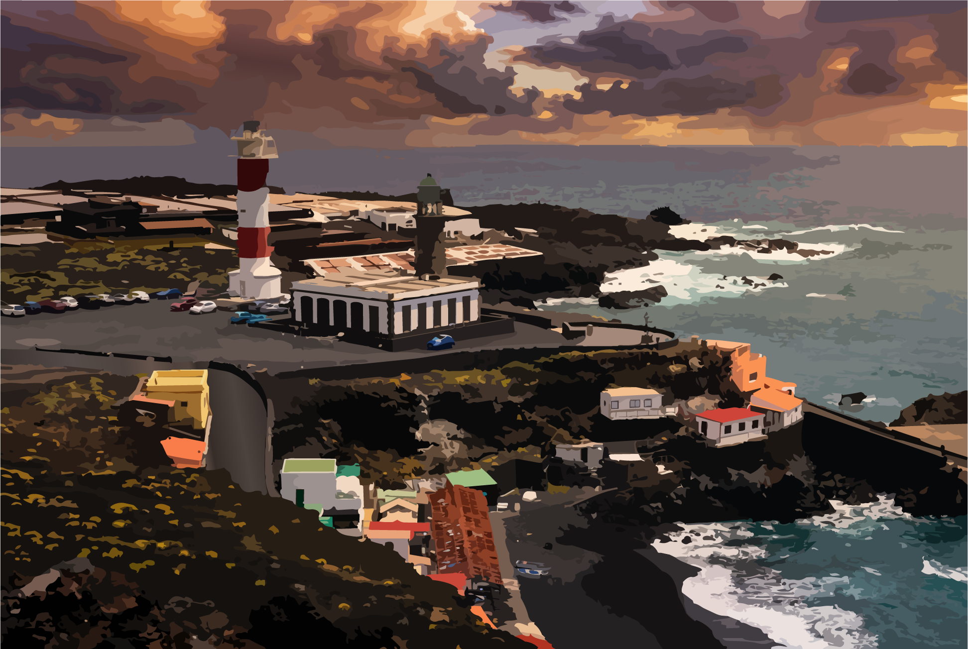
The southern part of La Palma is the driest and at the same time the side of the island most clearly shaped by volcanic forms. Here, vast, light-filled landscapes open up in which the forces of fire can be read with particular clarity. Young lava flows, ash fields and black basalt surfaces dominate large parts of the relief, giving rise to a landscape composed less of transitions than of clear planes and edges.

The humid trade winds reach the south only in a weakened state. Sheltered behind the island’s central mountain ranges, precipitation is scarce, while solar radiation is high and constant. This creates a dry climate in which water is not only limited but structurally defining. Every form of vegetation, agriculture or settlement is closely tied to the availability and management of water.

Geologically, this is a comparatively young landscape. Many areas were shaped in historically recent times by volcanic activity, which meant that soils could only develop slowly. In some zones, clearly developed soil horizons are still largely absent, while in more stable peripheral areas the first signs of humus formation can be observed. Overall, water retention capacity is low and strongly dependent on the smallest textural differences in the substrate.

Land use is therefore concentrated in a few specifically developed areas. Agriculture is only possible where water can be made available, while large areas remain largely unused or support only very sparse vegetation. Infrastructure follows these conditions, connecting isolated productive zones across wide, open spaces.

Thus, a landscape of great clarity and reduction emerges in the south. Light, dryness and volcanic forms define its character and create a region shaped less by diversity in detail than by the intensity of its fundamental elements.

Soils, challenges, and special features

Soil conditions

  • Predominantly young volcanic substrates with weak soil development and low humus accumulation.
  • Low water storage capacity in porous or coarse structures drives rapid drying of topsoil layers.
  • Localized improvement of soil development appears mostly in protected margins with early humus formation.

Challenges

  • Very low rainfall in the rain-shadow context makes water availability the main limiting factor.
  • High evaporation under strong sunlight increases irrigation demand and shortens natural moisture phases.
  • Large vegetation-poor lava sectors complicate access, infrastructure, and agricultural use.

Special features

  • Very young volcanic forms with clearly readable lava structures and limited overprinting.
  • High light intensity and dry atmospheric clarity strongly shape regional perception.
  • Point-like use patterns where irrigated plots appear as islands in open volcanic terrain.

Key places and municipalities

Volcanic landscape near Fuencaliente

Fuencaliente

  • Core municipality of the southern region with strong volcanic linkage.
  • Reference area for young landscape dynamics.
Southern terrain near Las Indias

Las Indias

  • Settlement area in a drier and wind-exposed location.
  • Requires robust land and water management concepts.
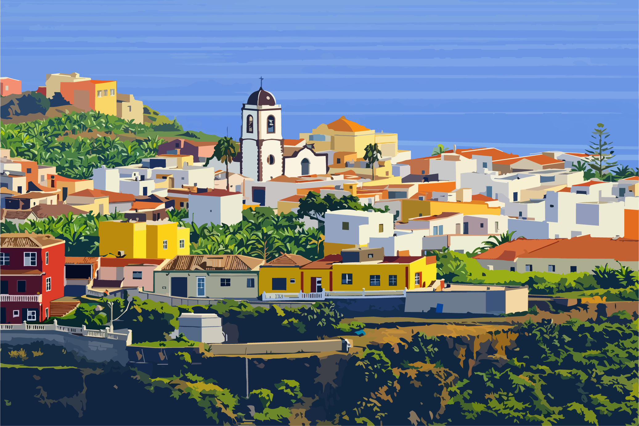
Settlement setting of Los Canarios

Los Canarios

  • Locally important service center in the south.
  • Operational gateway to volcanic sub-regions.

East of La Palma.

View larger map

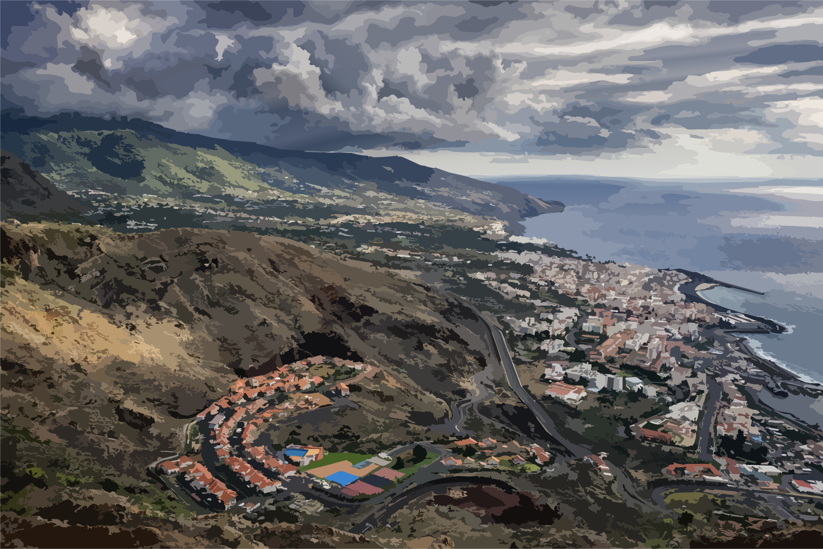
Between Atlantic coast, settlement, and mid-slopes

The eastern side of La Palma is the first part of the island that the trade winds encounter from the open Atlantic. Here, the landscape changes quickly between coastline, urban areas and steep mid-mountain slopes. The proximity to the Atlantic ensures fresh sea air and a pronounced north-eastern exposure, which brings not only humidity but also saline influences.

The region is spatially compact and characterized by short distances between the sea, settlements and higher-altitude agricultural areas. Cities such as Santa Cruz are closely connected to the slopes of the mid-mountain ranges, resulting in a strong interweaving of settlement, infrastructure and land use. This proximity creates a specific field of tension between urban dynamics and landscape transitions.

Soils and microclimates vary greatly within a small area. Coastal locations benefit from moderately humid, wind-exposed conditions, while the higher elevations of the eastern side quickly transition into cooler, cloudier mid-slope zones. For land use and maintenance, this means that site selection must be very finely tuned.

Soils, challenges, and special features

Soil conditions

  • Strongly changing soil conditions between looser coastal structures and deeper, moister soils on steeper slopes.
  • Marine and trade-wind exposure increases humidity, corrosion pressure, and occasional salt deposition near the coast.
  • Micro-site variability is decisive, because exposure and slope create major differences in vegetation and water management.

Challenges

  • Rapid shifts between coastal and mid-elevation climate require flexible, site-differentiated management models.
  • Urban and rural land uses overlap closely and must be planned together in operational terms.
  • Salt-laden coastal air affects both plant health and material durability in exposed sectors.

Special features

  • Strong Atlantic proximity with a clear marine influence zone and fresh coastal airflow.
  • Direct link between city and mountain foothills makes the east a major infrastructure-landscape interface.
  • Fine-grained microclimate structure creates high site diversity within a relatively small area.

Key places and municipalities

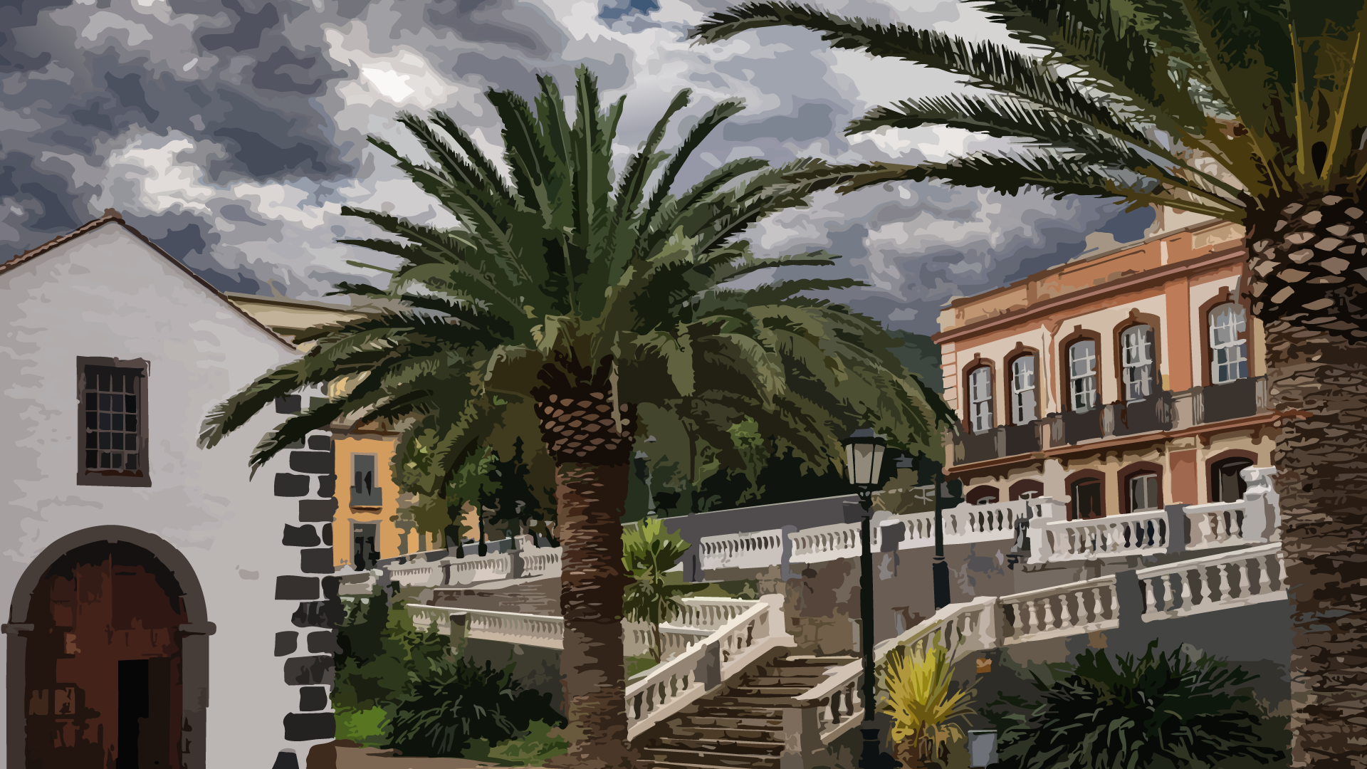
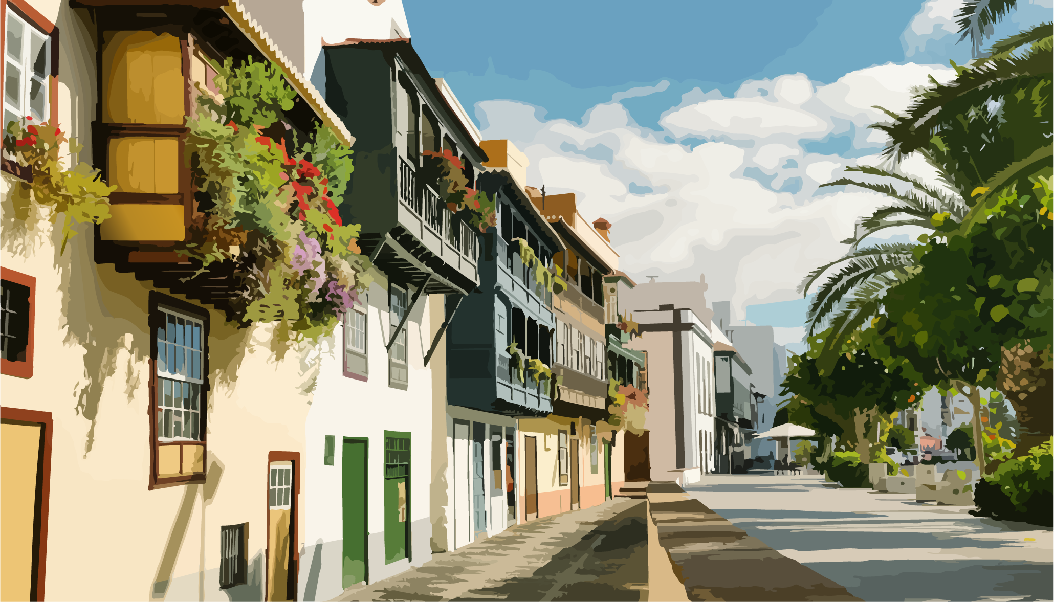
Coastal cityscape of Santa Cruz de La Palma

Santa Cruz de La Palma

  • Island capital with a strong link to the eastern coast.
  • Main node for port, trade, and transport functions.
Hilly transition landscape near Brena Alta

Breña Alta

  • Transition zone between coast and mid-elevation slopes.
  • Representative of agriculture close to the eastern coast.
Agricultural landscape near Mazo

Mazo

  • Municipality linked to eastern slopes and cultivated land.
  • Represents the interface between coastal influence and inland relief.

Central Highlands (Cumbre).

View larger map

The Cumbre – Spine of the island

The central highlands of the island – the Cumbre – form the backbone of La Palma. Here the island reaches its greatest elevation and its most pronounced climatic division. The trade winds pass over the ridge zone, where they are blocked, lifted and split, so that entirely different weather and vegetation zones develop over short distances. The Cumbre is therefore less a single landscape than a climatic and geological threshold that both divides the island into its contrasts and simultaneously connects it.

In the higher elevations, pine forests, open volcanic ridges and extensive ash fields dominate. The Canary pine is particularly well adapted to these conditions: it tolerates drought, makes use of fog moisture and regenerates after fire events. Between forested areas, open zones of lapilli and basalt repeatedly appear, revealing the island’s volcanic character in its most fundamental form.

Geologically, the Cumbre is a complex system of overlapping volcanic cones, erosional ridges and tectonic fault zones. This structure determines not only the topography but also the distribution of water. Precipitation is higher than in the lowlands, but strongly influenced by wind direction and relief. In sheltered areas, moisture can persist, while exposed ridges dry out quickly.

Land use at this elevation is accordingly limited and highly site-dependent. Forestry, water collection and localized grazing areas are the dominant forms of use. At the same time, the Cumbre plays a central role in the island’s water system, acting as a collection and distribution zone for precipitation that reaches the lower regions via springs and underground flow systems.

Thus, a highland emerges that is defined less by uniform landscape than by transitions. Between forest and lava, between moisture and dryness, between wind and stillness, a zone unfolds that structurally holds the island together and makes its contrasts possible in the first place.

Soils, challenges, and special features

Soil conditions

  • High-elevation volcanic soils with strongly varying depth across ash, lapilli, and basalt deposits.
  • Good storage potential in forested sectors supported by organic layers and fog-water interaction.
  • Strong substrate heterogeneity between developed forest soils and very raw volcanic surfaces on exposed ridges.

Challenges

  • High wind and exposure load in ridge areas increases evapotranspiration and mechanical stress.
  • Strongly variable rainfall distribution caused by orography and cloud-stall effects.
  • Limited agricultural suitability due to elevation, steepness, and rapidly changing conditions.

Special features

  • Central water function as a major collection and redistribution space for island precipitation.
  • Dominant Canary pine belt with high adaptation to drought, fire, and fog moisture.
  • Transition-rich landscape where several climate and vegetation zones interlock tightly.

Key places and municipalities

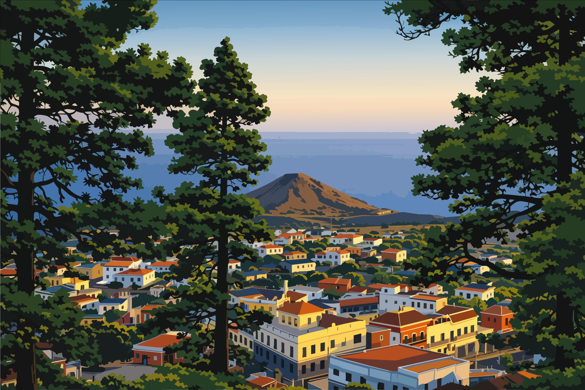
Highland setting around El Pilar

Refugio El Pilar

  • Central reference point in mid- to high-elevation island zones.
  • Important transition node between east and west.
Cumbre Vieja ridge line

Cumbre Vieja Kammzone

  • Geologically active ridge with strong structural relevance.
  • Landscape-defining axis for the southern island system.
High-elevation area near Roque de los Muchachos

Roque de los Muchachos Umfeld

  • Extreme exposure conditions and broad visibility range.
  • Strongly shapes perception of central island relief.

Caldera de Taburiente.

View larger map

Where the island falls inward

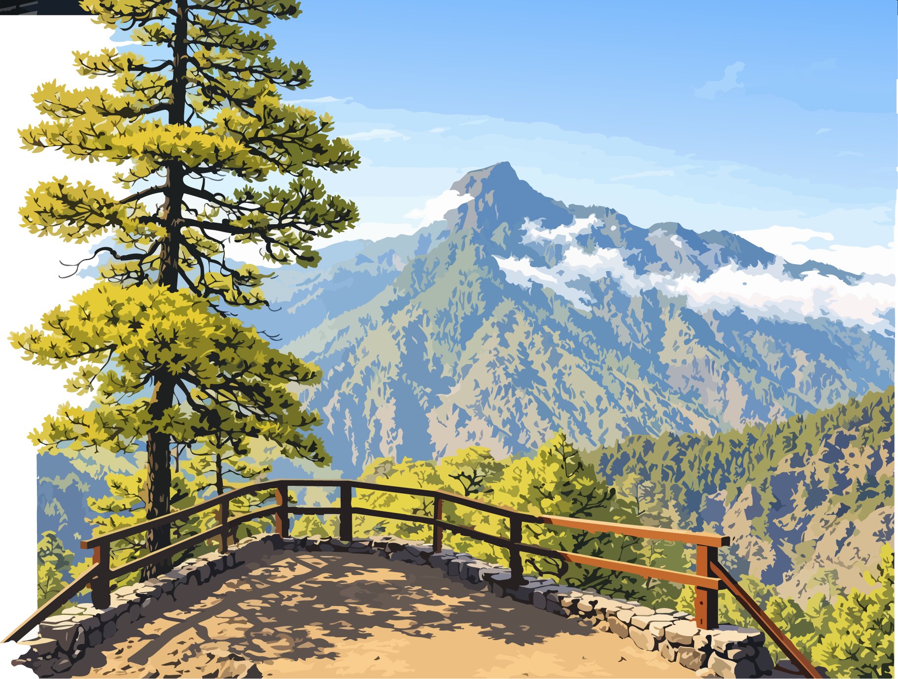
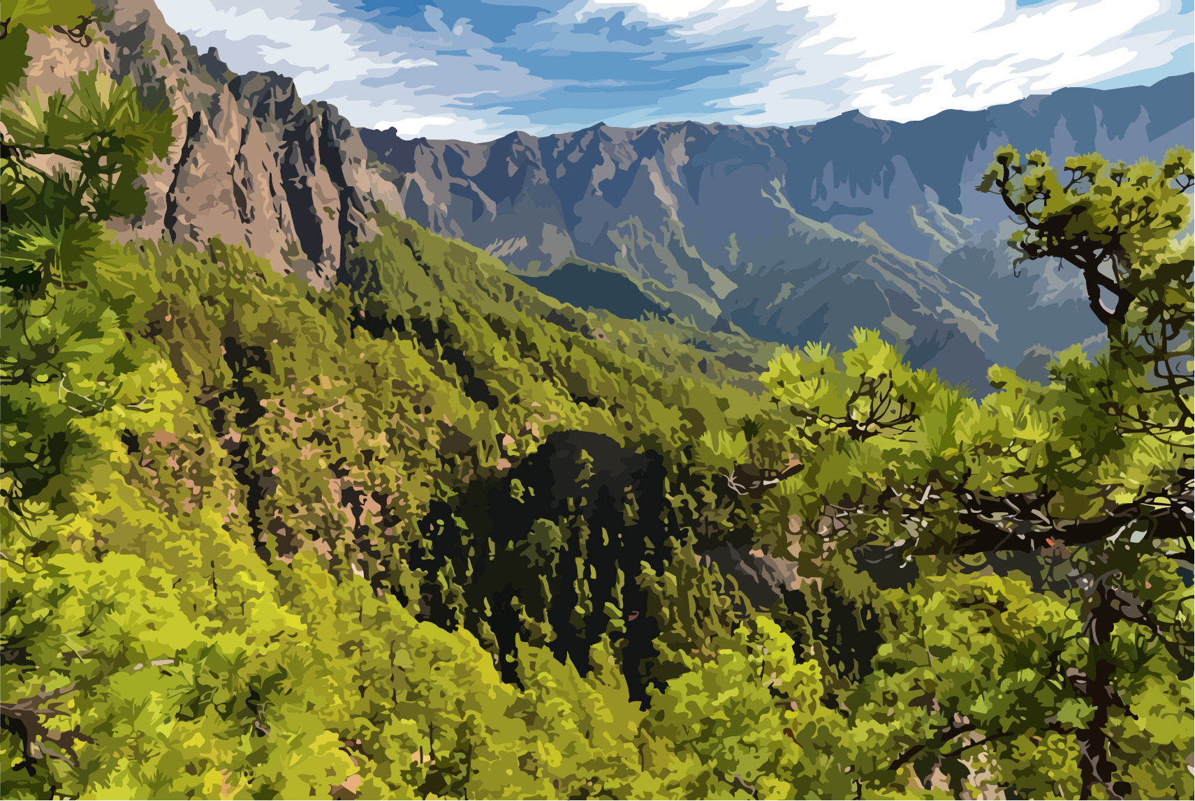
The Caldera de Taburiente is the inner core of La Palma – a vast erosion basin carved deeply into the island’s volcanic backbone. From the surrounding heights it appears as an enclosed world, both protected and open, shaped by the slow work of water, gravity and time. Here, the forces of the island’s geological history are concentrated in a very small space and become visible in the form of steep walls, ravines and forested slopes.

The landscape is defined by enormous differences in elevation, stretching from the central highlands down into the deeply incised barrancos of the caldera. Water plays a central role: it collects in the higher zones, permeates the rock through countless trickles, and re-emerges as springs and temporary streams. The caldera is therefore a highly active hydrological space, where erosion is not only a feature of the past but an ongoing process.

Geologically, it is a complex system of ancient volcanic cores, intrusions and massive erosional structures. Over long periods, the original volcanic edifice was opened up through denudation until the present basin-shaped structure formed. The rocks range from older basalts to heavily fractured, unstable zones that continue to shape the dynamics of the landscape today.

Vegetation is dominated mainly by pine forests, which have adapted to the steep slopes and stabilize large parts of the caldera. In moister areas, denser forest structures develop, while exposed rock and scree zones remain sparsely vegetated. Agriculture plays no role here; land use is essentially limited to conservation, water management and low-impact tourism.

Thus, a landscape space emerges that is defined less by use than by processes. The Caldera de Taburiente is not a static place, but a system in slow motion – shaped by water, held by forest, and bounded by the steep walls of a long-extinct volcanic structure.

Soils, challenges, and special features

Soil conditions

  • Highly heterogeneous volcanic substrates from multiple erosion and deposition phases, including basalts and pyroclastic materials.
  • Strong water storage and transfer dynamics through fractured and weathered layers across the caldera system.
  • Strongly variable soil development from rooted forest soils to unstable stony slope sectors.

Challenges

  • Extreme relief and high slope angles limit intervention options and intensify natural erosion processes.
  • High erosion and instability dynamics driven by steep channels and variable geological coherence.
  • Limited accessibility restricts maintenance and infrastructure actions to selected points.

Special features

  • Central island water-storage function with high relevance for recharge and runoff regulation.
  • Dominance of near-natural pine forests supporting slope stability and soil protection.
  • Process-dominated landscape where erosion, vegetation succession, and long-term geology define change.

Key places and municipalities

Access zone to Caldera de Taburiente

Parque Nacional Zugangsraum

  • Main reference area for entering the caldera landscape.
  • Important for orientation and visitor flow management.
Barranco de las Angustias

Barranco de las Angustias

  • Key corridor for water transfer and relief dynamics.
  • Illustrates the erosive force of the central island system.
Viewpoints over the caldera

Miradores der Caldera

  • Important viewpoints for spatial understanding and context.
  • Reveal the strong vertical dimension of the island core.
<>
ArvellaArvella

Reliable finca and garden care on La Palma with premium support and responsible water planning.

Santo Domingo, 38787

Navigation

HomeServicesAbout ArvellaDiscover La Palma

Services

Finca careGarden maintenanceAutomated irrigation systemsRemote control and maintenanceSmart finca / Smart home

© 2026 Arvella - La Palma

Imprint