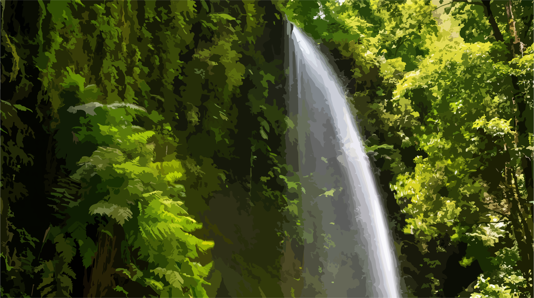
Northeast of La Palma.
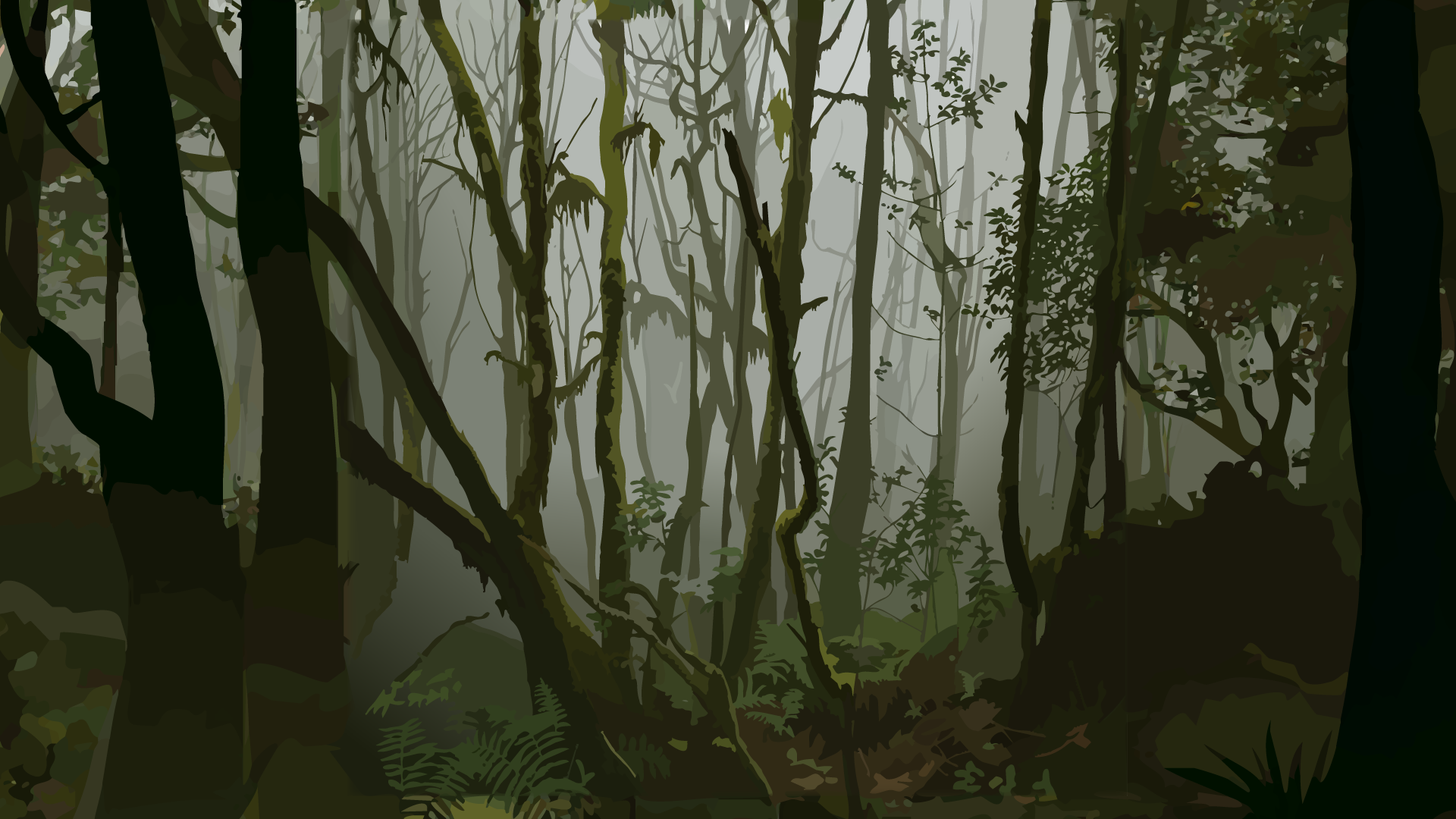
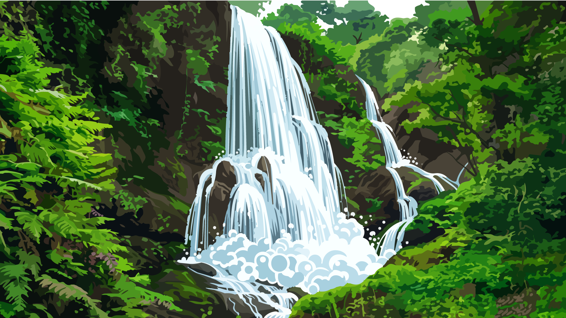
Humid trade-wind region with dense vegetation, fog water, and steep slopes.
Humid trade-wind region with dense vegetation, fog water, and steep slopes.
Go to regionTo understand La Palma, you must read its regions as different island worlds.
Back to La Palma overview
From the humid northeast to the volcanic south: why every region has its own rules.
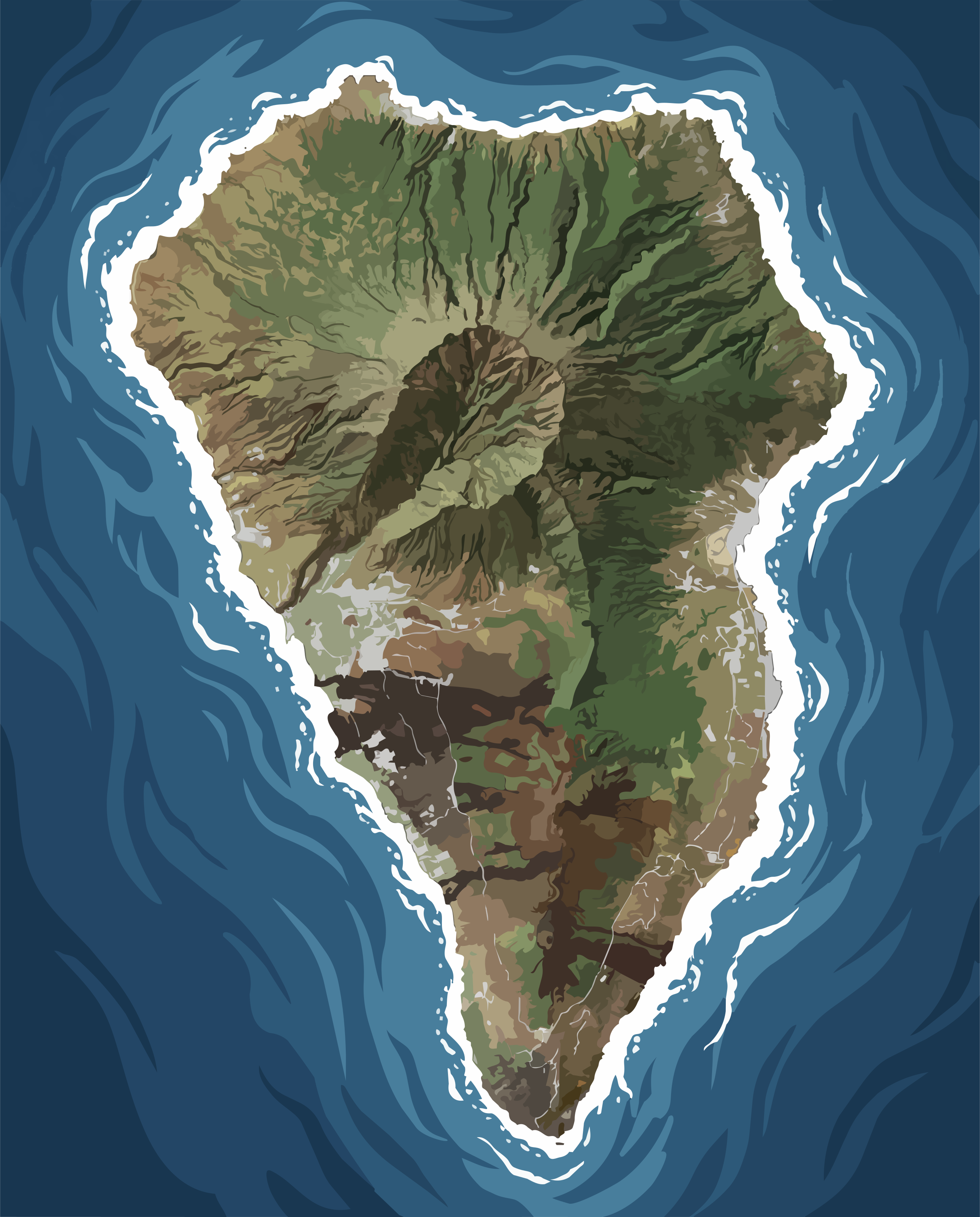
La Palma is not an island of uniformity. It is a mosaic of contrasts, compressed into a remarkably small area yet unfolding across an extraordinary diversity of climates, landscapes, and atmospheres. To travel across the island is not merely to cover distance, but to pass through entirely different worlds—from humid forests to arid volcanic terrain, from mist-covered slopes to sunlit Atlantic shores.
Along the eastern side, the island opens itself to the Atlantic. Moist trade winds rise against the slopes, transforming into clouds, rain, and a continuous cycle of evaporation and renewal. It is a landscape that is not dramatic in its expression, but enduring in its rhythm—shaped by greenery, shade, and a sense of almost timeless growth.
Only a few kilometers farther on, the scenery changes completely. Mountain ridges interrupt the winds, creating natural boundaries between moisture and dryness, abundance and scarcity. On one side, water gathers with remarkable consistency; on the other, it becomes a precious resource that shapes both the landscape and the way life unfolds. These transitions are gradual, yet unmistakably present.
In the west and south, La Palma reveals itself in a different light. Here, the fire of its geological past dominates the scenery, preserved in black basalt and vast lava fields. Sun and wind define the landscape with sharp clarity, vegetation becomes sparser, and the terrain feels broader, more open, and more restrained—as though it were another island within the same one.
Between these contrasting worlds rises the island's backbone: a highland of volcanic ridges, fault lines, and changing elevations that directs climate, water, and movement across the landscape. It is the hidden framework that both connects and separates the island's regions—a geological rhythm that makes this remarkable diversity possible.
The result is not a single, uniform landscape, but a sequence of contrasting environments that flow into one another like chapters of a larger story. Each region is more than a place; it carries its own distinct atmosphere. Together, they form the many-layered portrait of an island that exists in a constant dialogue between opposing forces.
Humid trade-wind region with dense vegetation, fog water, and steep slopes.
Humid trade-wind region with dense vegetation, fog water, and steep slopes.
Go to region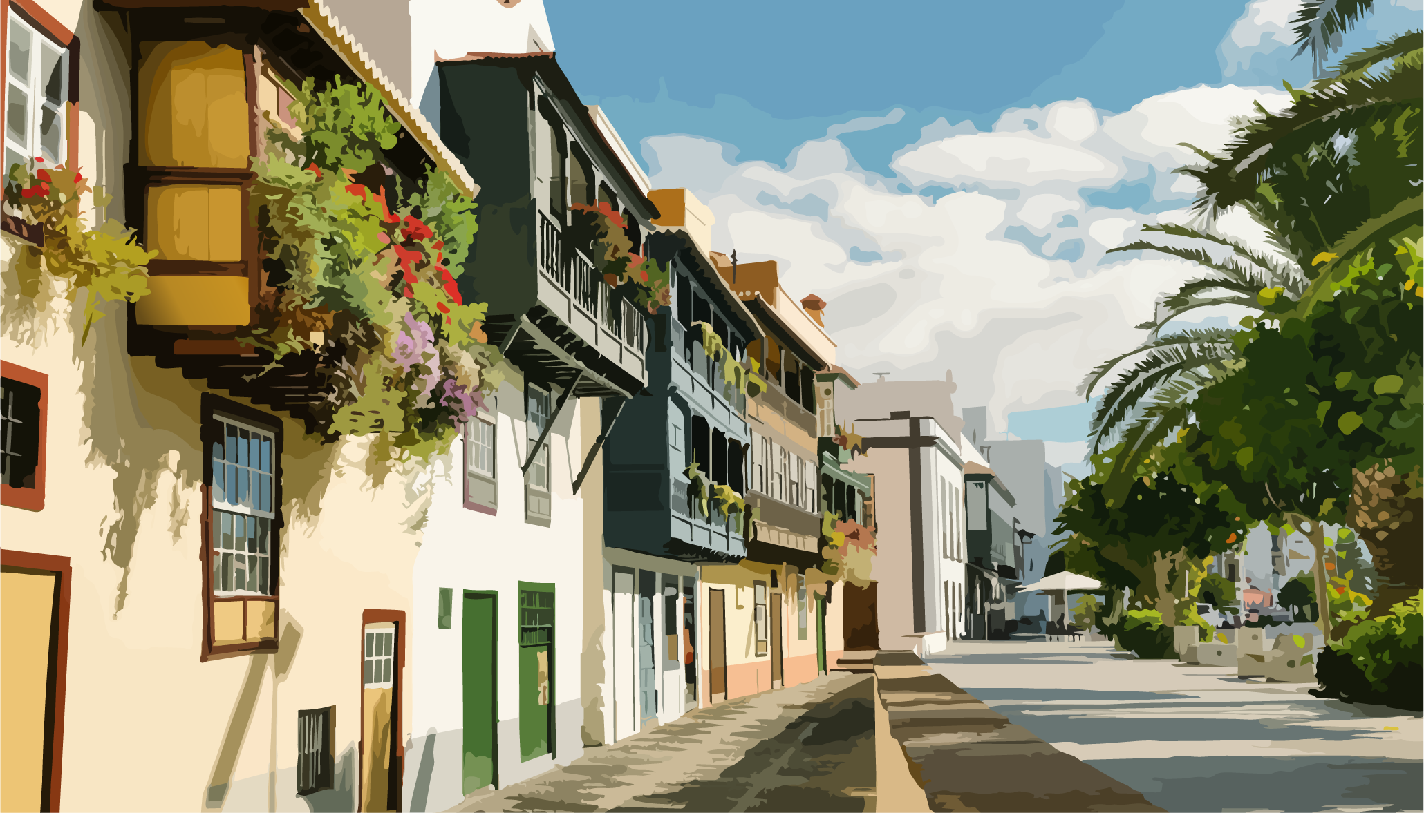
Original region with ravines, elevation steps, and strongly differentiated exposures.
Original region with ravines, elevation steps, and strongly differentiated exposures.
Go to region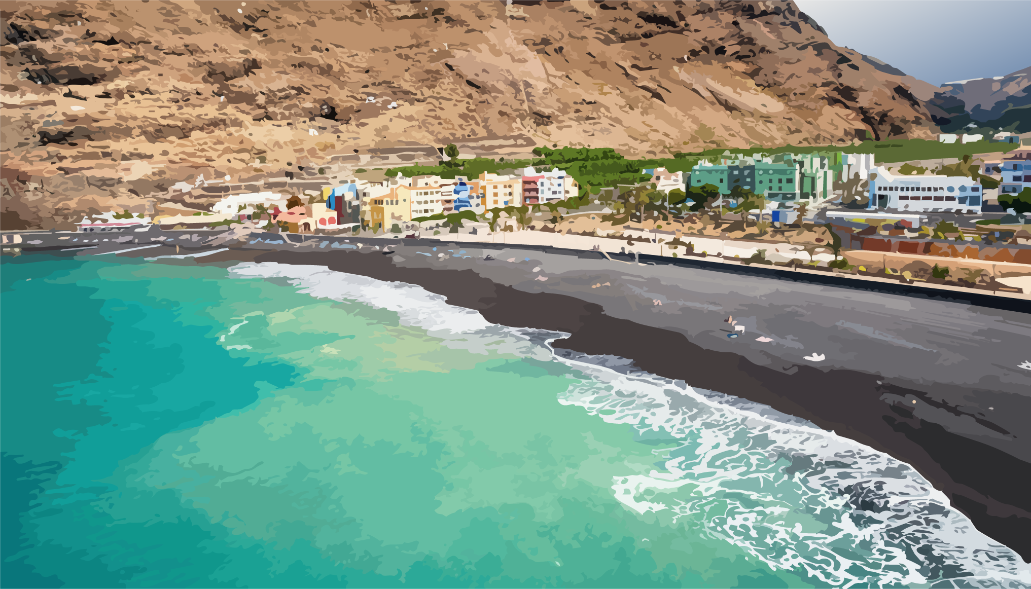
Sunnier leeward side with intensively used slope and valley areas in the Aridane Valley.
Sunnier leeward side with intensively used slope and valley areas in the Aridane Valley.
Go to region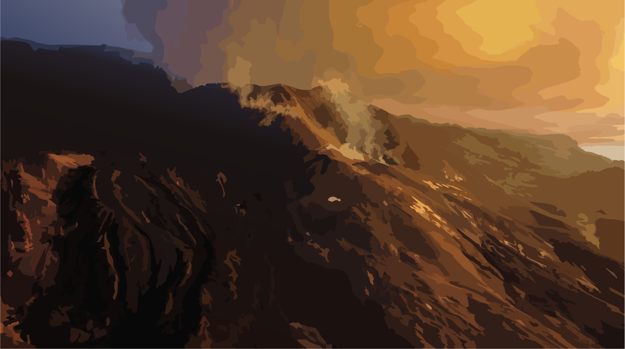
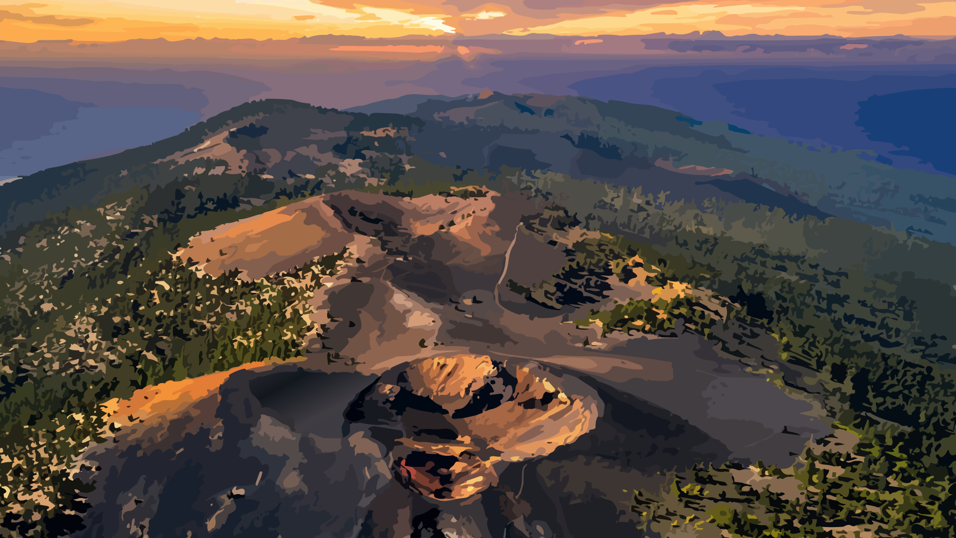
Volcanically shaped zone with dry conditions and distinctive landscape dynamics.
Volcanically shaped zone with dry conditions and distinctive landscape dynamics.
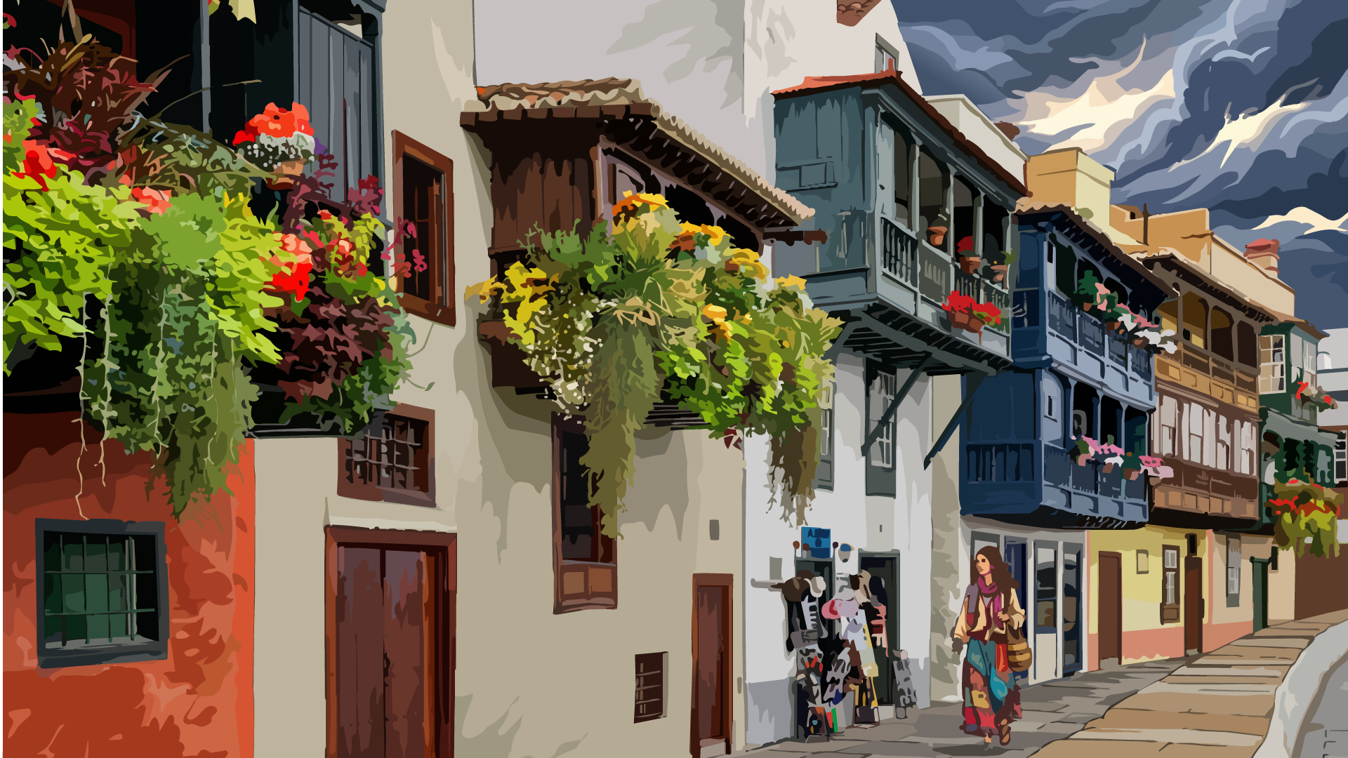
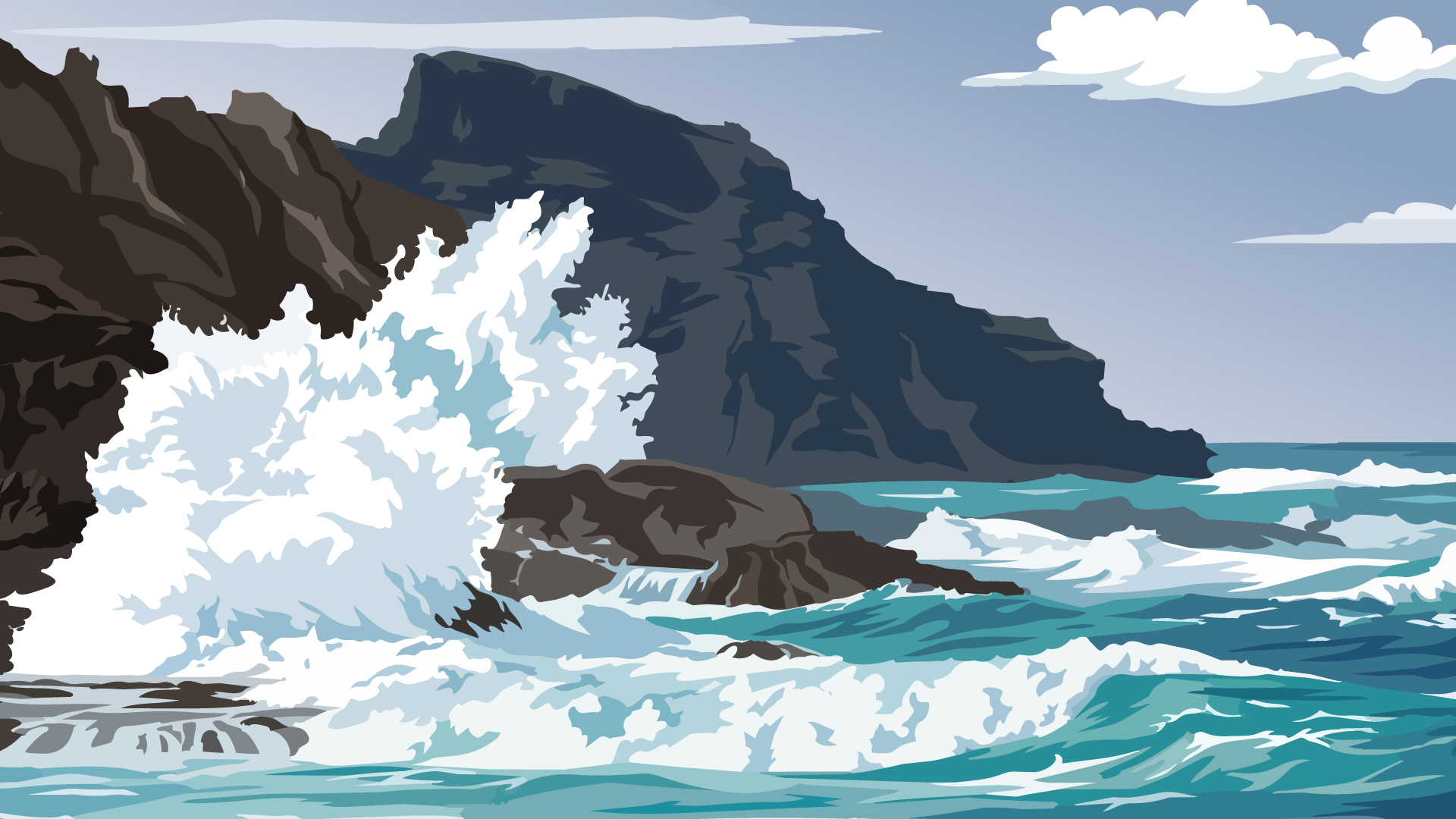
Go to regionAtlantic-open eastern side with urban core, short distance to mid-elevations, and changing exposures.
Atlantic-open eastern side with urban core, short distance to mid-elevations, and changing exposures.
Go to region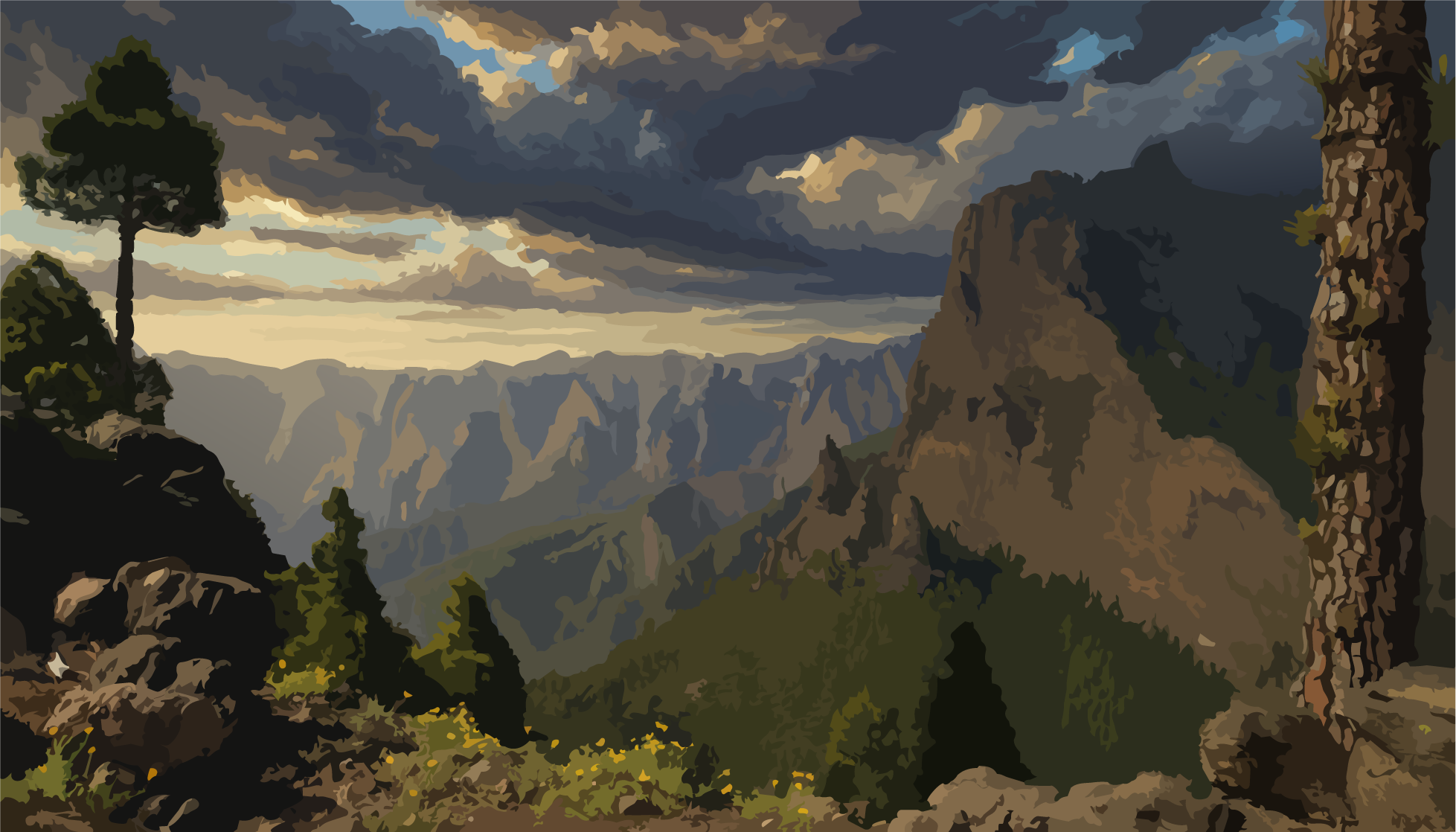
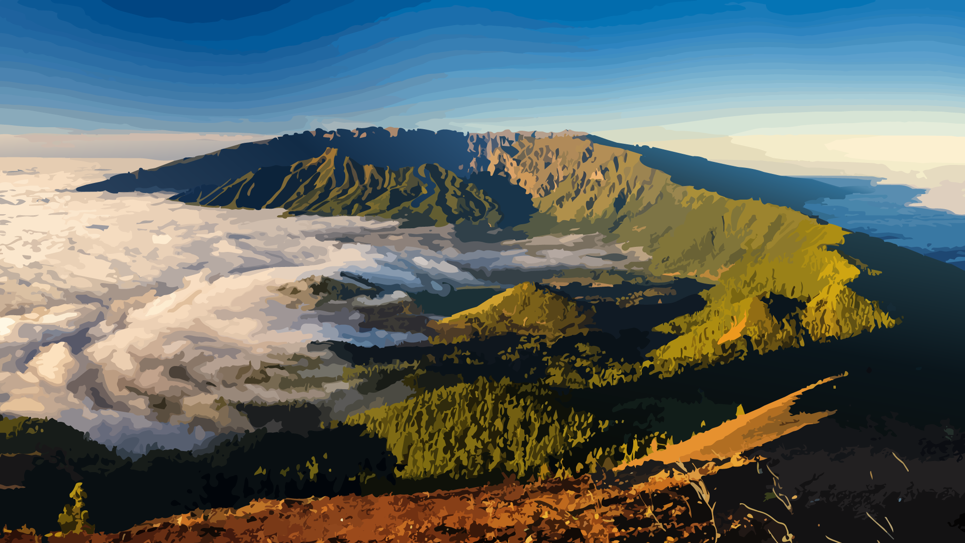
Highland ridge as climatic and geological switchboard of the island.
Highland ridge as climatic and geological switchboard of the island.
Go to region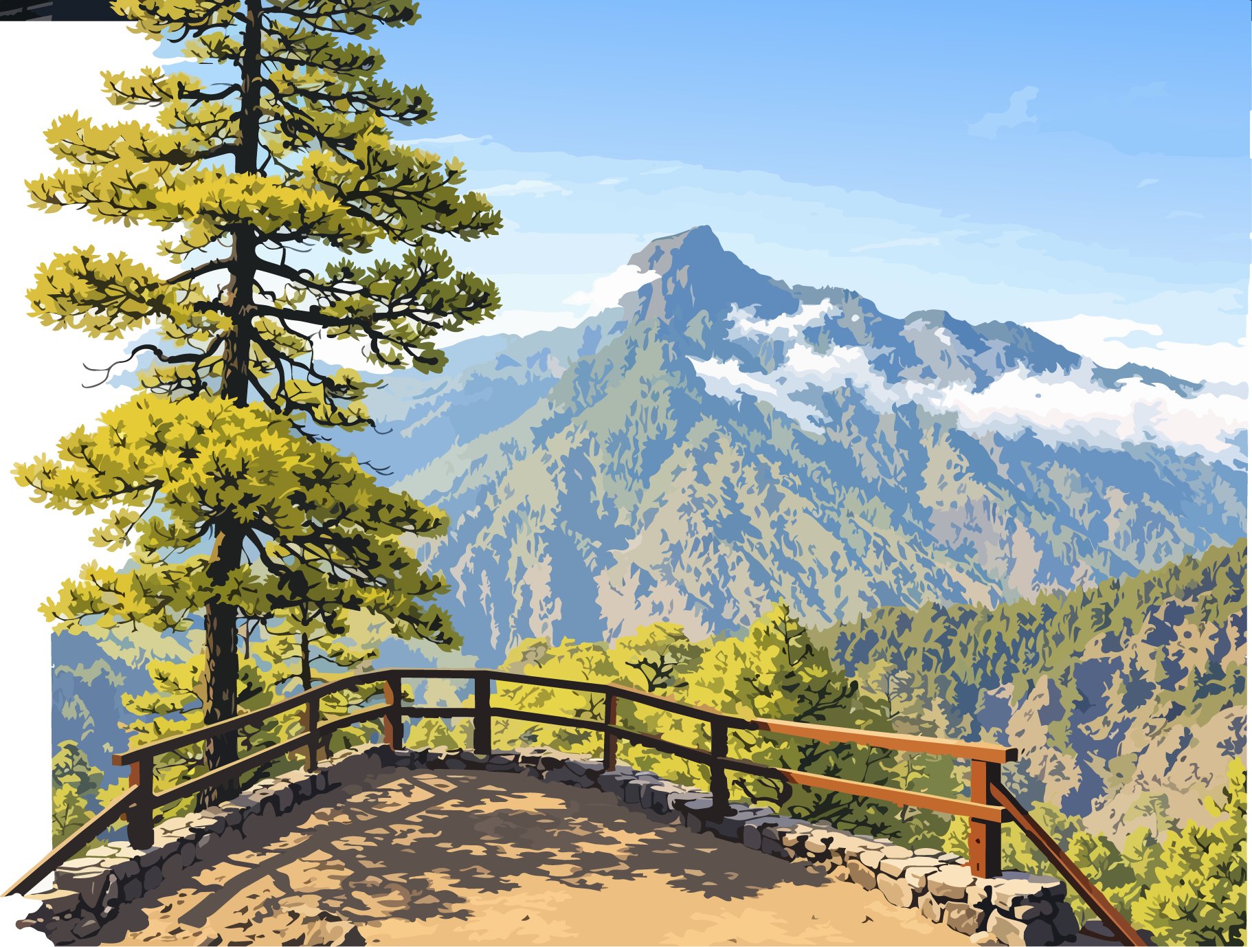
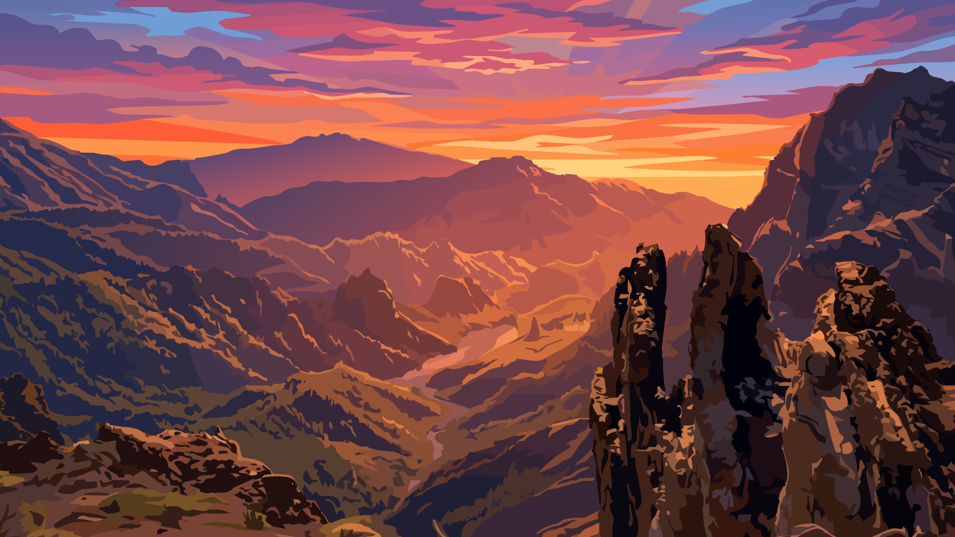
Central erosion space with deep geomorphological and landscape significance.
Central erosion space with deep geomorphological and landscape significance.
Go to region