

Geographical Insights
In a compact space, steep relief meets the Atlantic coast - with tangible consequences for accessibility and use.
Back to La Palma overview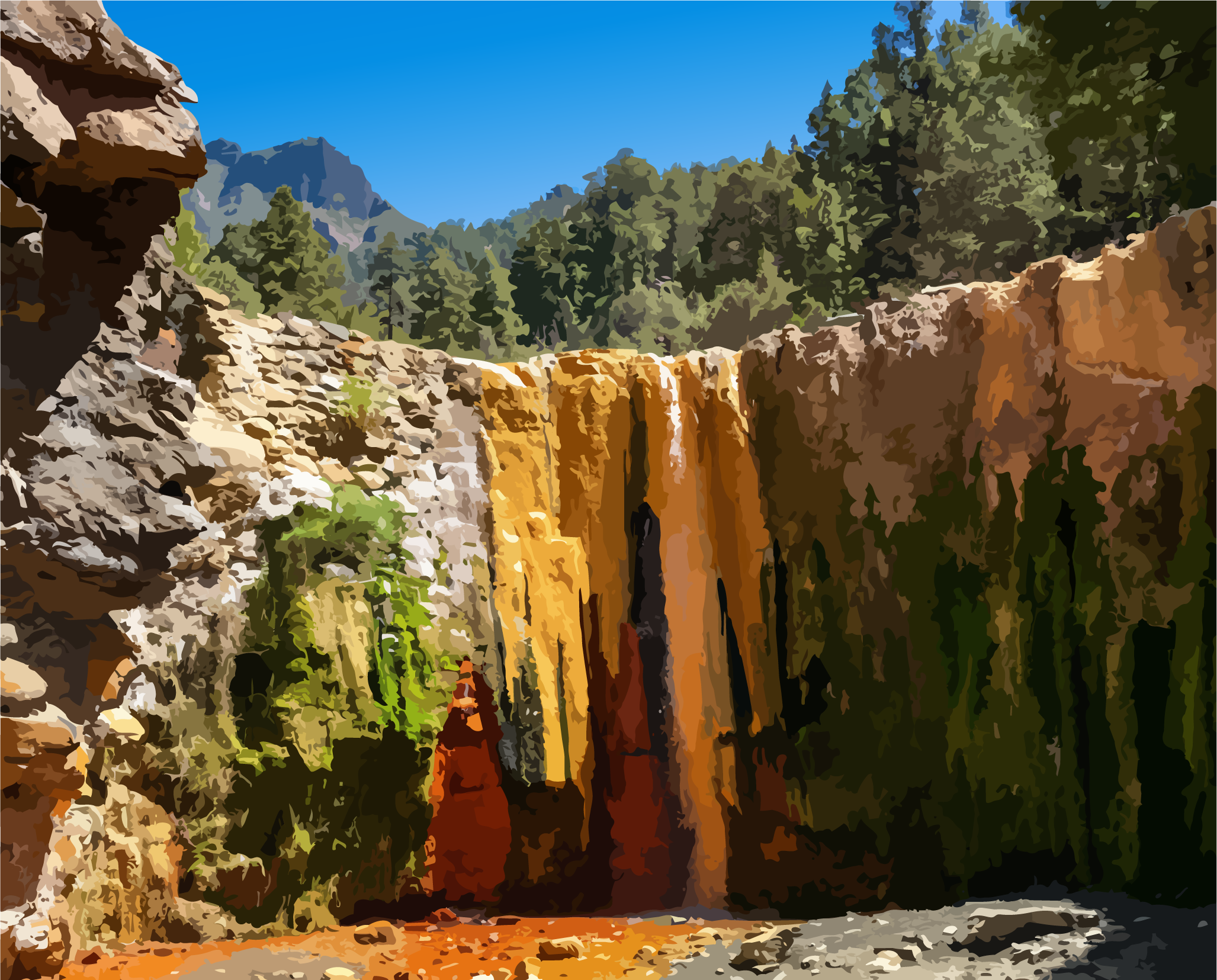
An Island of Heights and Coasts.
How relief, ravines, and coastal areas shape La Palma's daily life and use.
Relief and elevation
La Palma is, in the most literal sense, an island that rose from the Earth's interior. Its foundation consists of successive layers of solidified lava, volcanic ash, and collapsed crater structures—a geological archive that preserves the evolution of an oceanic shield volcano over millions of years. Every meter of the island tells a story of eruptions, collapses, and renewal, recorded layer upon layer through time.
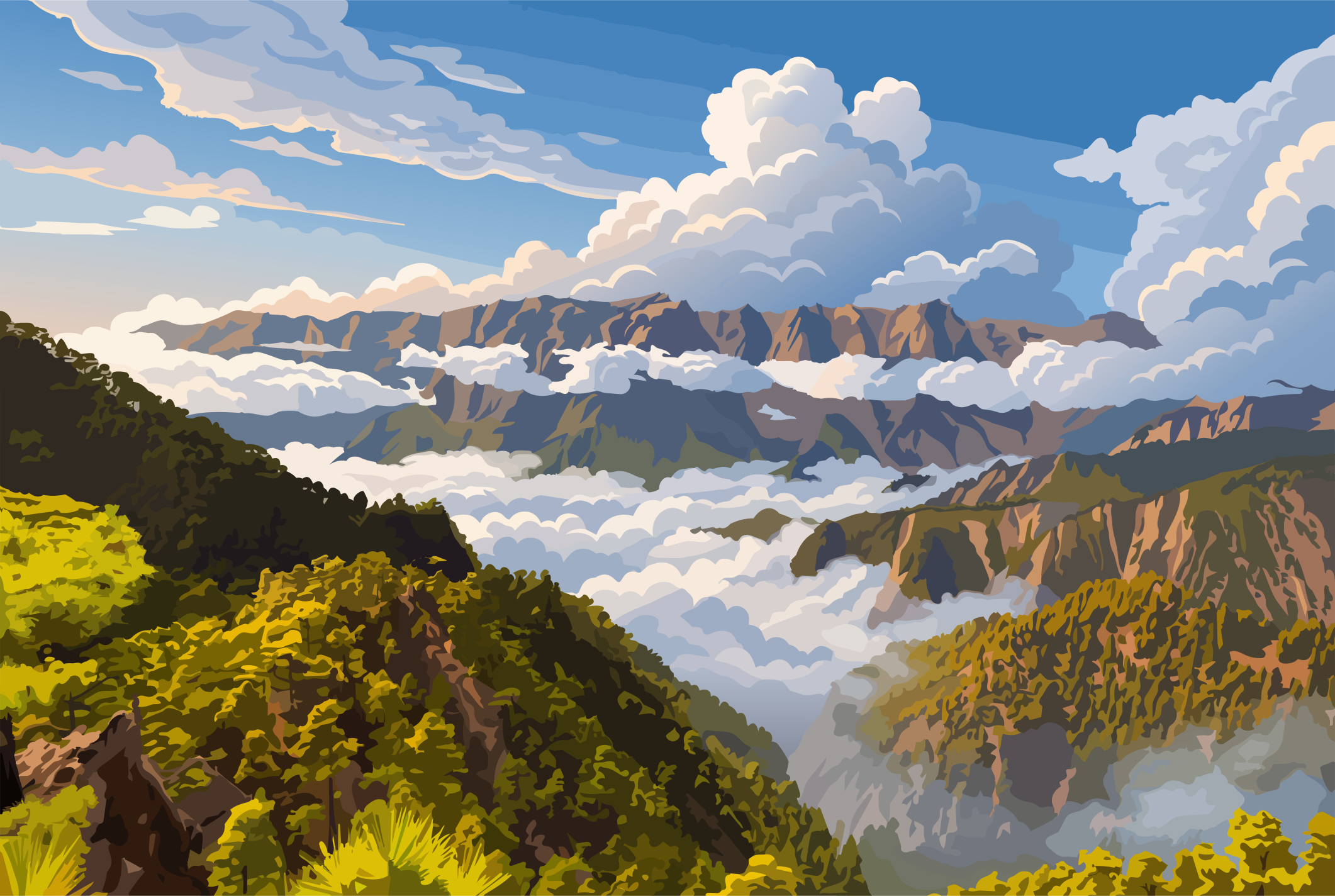
At its heart lies the vast Caldera de Taburiente, one of the most remarkable erosional landforms in the Canary Islands. It is not a classic volcanic crater, but the result of a complex interplay between volcanism, massive landslides, and millions of years of erosion. Its steep walls descend nearly 2,000 meters into the caldera, creating a landscape that feels less like a conventional valley than the remains of a collapsed world.
The island itself forms the westernmost part of the Canary archipelago and is also one of its youngest islands. Its formation began around two million years ago with submarine volcanic eruptions on the floor of the Atlantic Ocean. Layer by layer, it rose from the sea until the island's defining volcanic ranges—the Cumbre Vieja and the Cumbre Nueva—took shape: ridges of solidified lava that extend across La Palma like a central backbone.
Ravines and coast
Particularly significant is the Cumbre Vieja in the south, a geologically active rift zone where new volcanoes continue to emerge along a major fracture. Here, the island reveals itself as a living system: beneath the surface, the ground remains hot, dynamic, and still evolving. The 2021 eruption demonstrated with striking clarity that La Palma is not a completed chapter in Earth's history, but an ongoing geological process that continues to reshape the landscape.
Another defining characteristic of La Palma is its extraordinary vertical relief. From the floor of the Atlantic Ocean to the summit of the Roque de los Muchachos, the island spans an elevation difference of approximately 6,500 meters—greater than that of many continental mountain ranges. This immense relief energy has created an exceptionally rugged topography, marked by deep barrancos, steep slopes, and dramatic landscape transitions within remarkably short distances.
The island is composed predominantly of basalt, a dark, dense volcanic rock formed by rapidly cooling magma. Between the lava flows lie layers of ash, scoria, and pyroclastic deposits, stacked like the pages of a geological book. Within these layers, one can read not only the island's volcanic past, but also its ever-present reality—for La Palma is less a finished place than a landscape in continuous transformation.
Related posts
Between Mountain and Sea
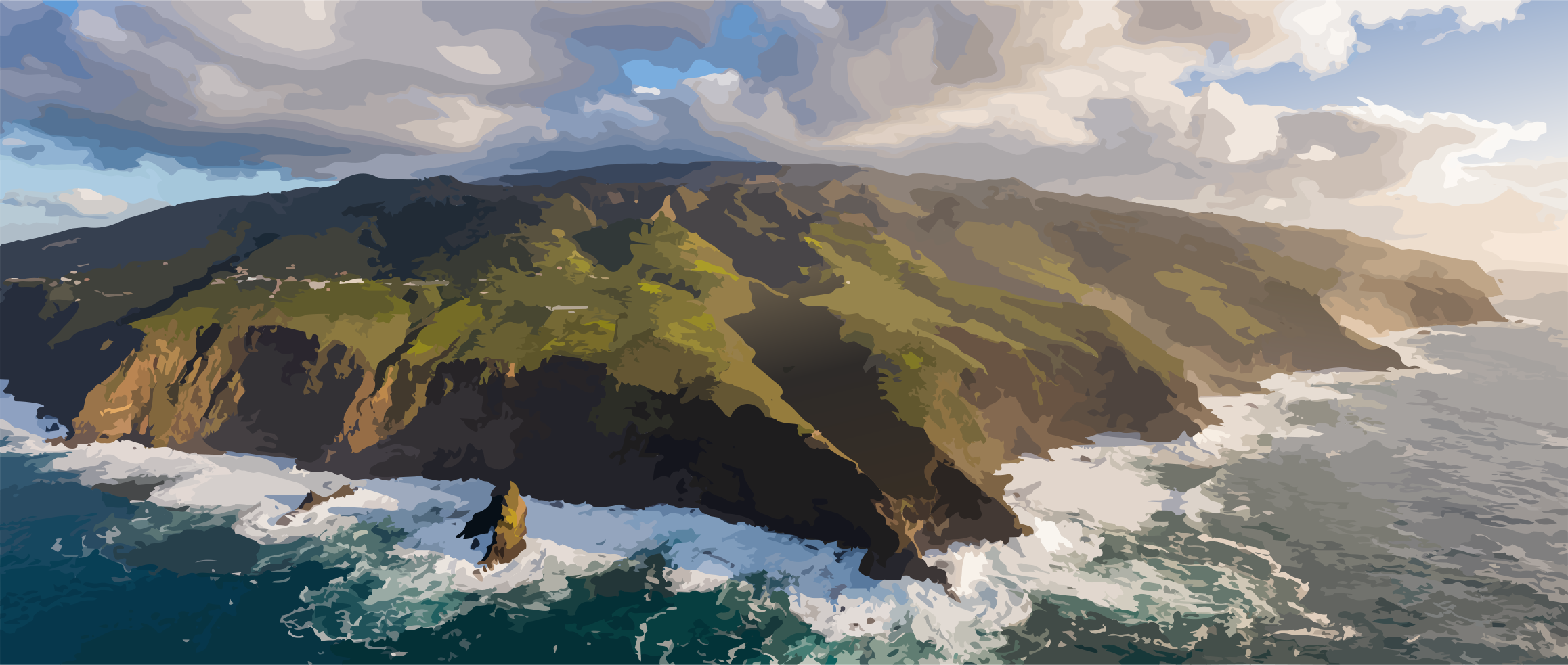
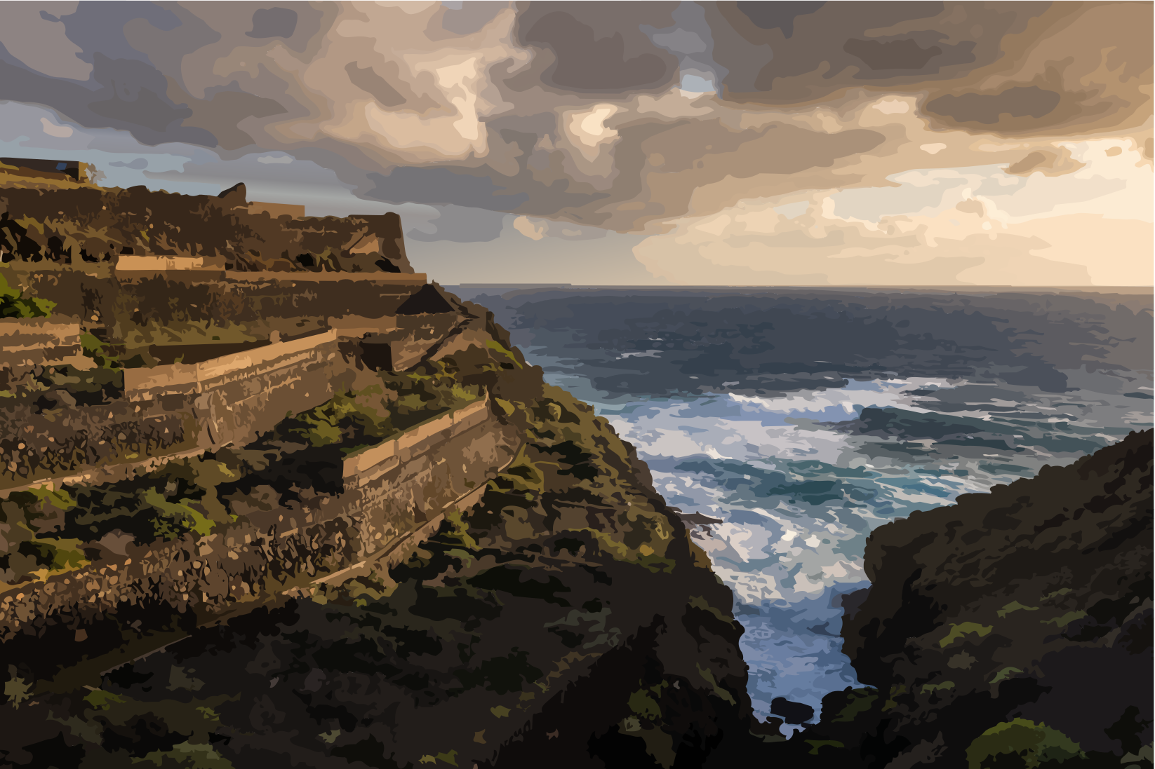
La Palma is an island of transitions: between Cumbres and coast, Lomos and Barrancos, its dramatic relief creates an ever-changing sequence of landscapes within a remarkably small space.
Relief as a Habitat
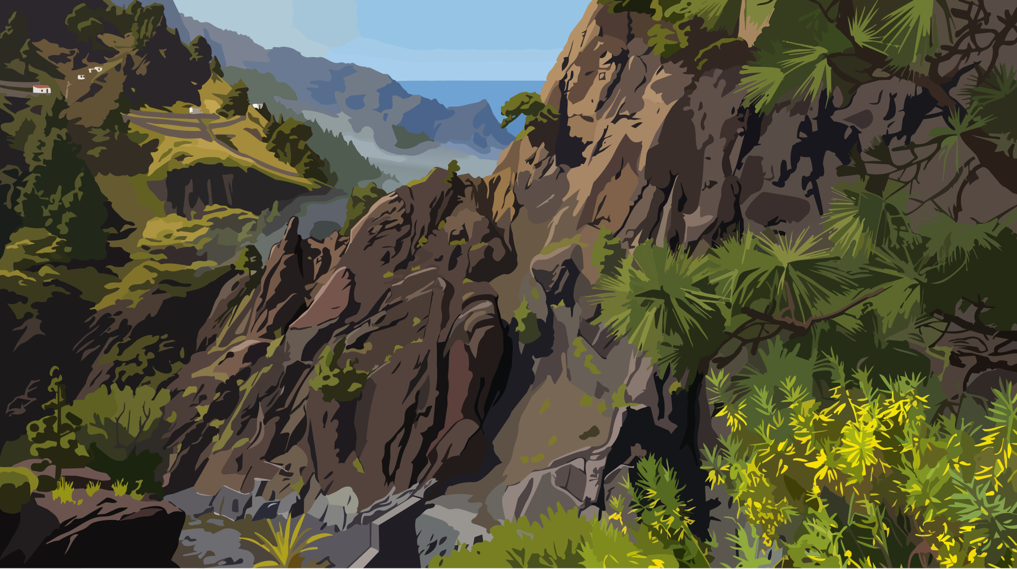
La Palma is an island that demands to be understood not in miles, but in vertical meters, hairpin turns, and layers of clouds.