

Relief as a Habitat: The Landscape’s Signature
On maps, La Palma often appears surprisingly small—a green speck in the Atlantic, barely more than a few centimeters of paper. Only when moving across the island does one realize its true scale. Here, distances are not measured in miles alone, but in vertical meters, slope gradients, and hairpin turns. What lies close together on paper is often separated in daily life by far more than just a path—it is divided into distinct landscapes, perspectives, and habitats.
The island reads like an open book: volcanic ridges form its lines, deep ravines (barrancos) place sharp incisions between chapters, and every elevation level opens up a new perspective. The relief is far more than the outer form of La Palma—it is its signature. Whoever learns to read it begins to understand why the island looks and functions the way it does.
I. The Vertical Island
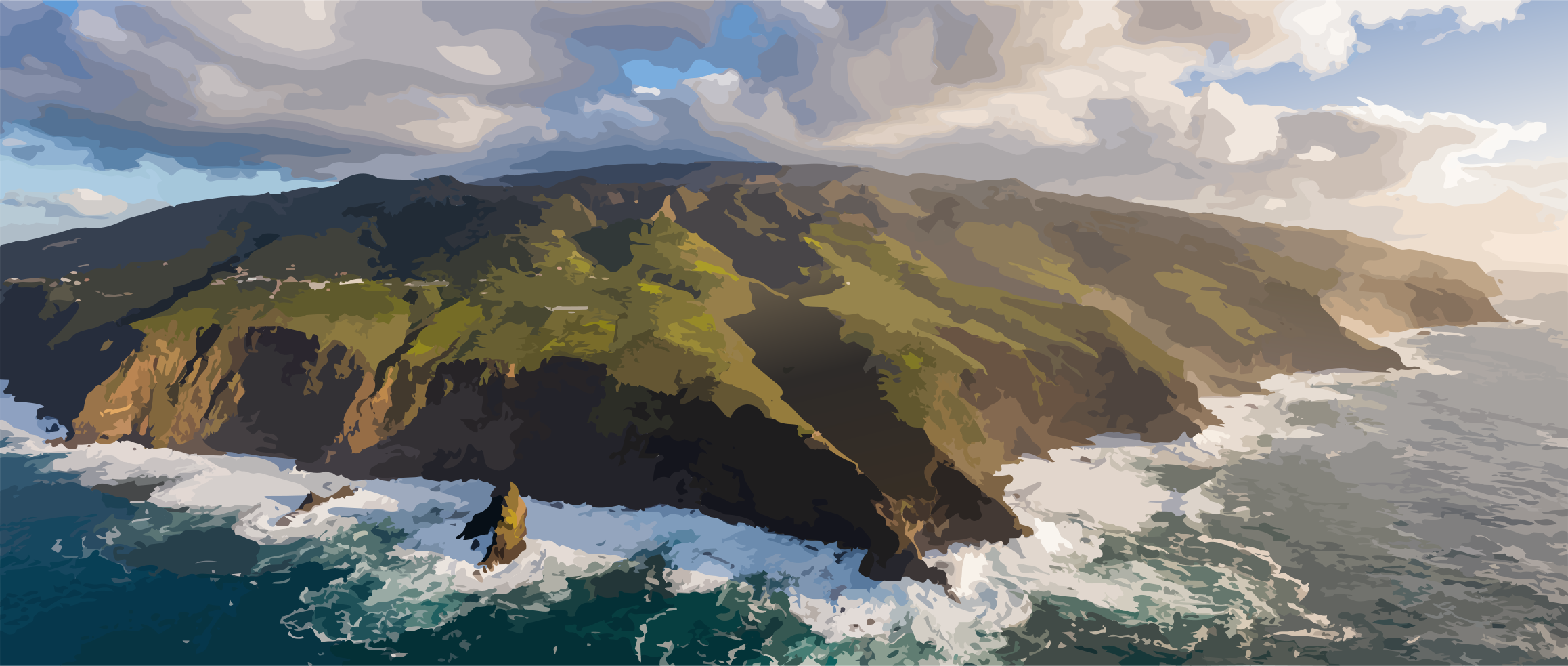
La Palma is an island of extremes in altitude, standing alongside Fogo (Cape Verde) and Rishiri (Japan) as one of the steepest islands in the world. Rising from the dark ocean floor nearly 4,000 meters below the surface, the massive island structure surges over six kilometers high, until the Roque de los Muchachos towers over the Atlantic at an impressive 2,426 meters. Within an extraordinarily confined space, a topography of remarkable depth unfolds: sheer flanks, narrow ridges, natural terraces, and deeply carved ravines divide the terrain into countless small landscape chambers.
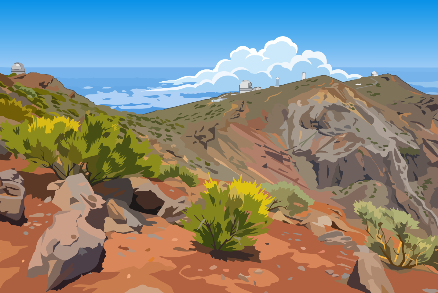
This vertical architecture defies the laws of flat distance. A distance of just a few kilometers as the crow flies translates into a journey through entirely different worlds. Crossing a mountain ridge often means more than simply switching valleys—it means entering a new microcosm with its own light, its own accessibility, and its own rhythm.
II. The Geometry of Settlement: From Shepherd Paths to Isolated Worlds
The history of human settlement on La Palma is the record of an endless struggle with topography. Even the original inhabitants, the Benahoaritas, divided the island along its deepest ravines into a dozen tribal territories. Lacking wheels and draft animals, they navigated narrow shepherd paths (pazos) and scaled sheer cliff faces using wooden jumping poles. Their movements followed the seasons: wintering in the caves of the warm coast, and driving their herds up to the high altitudes in summer. The relief enforced a nomadic verticality.
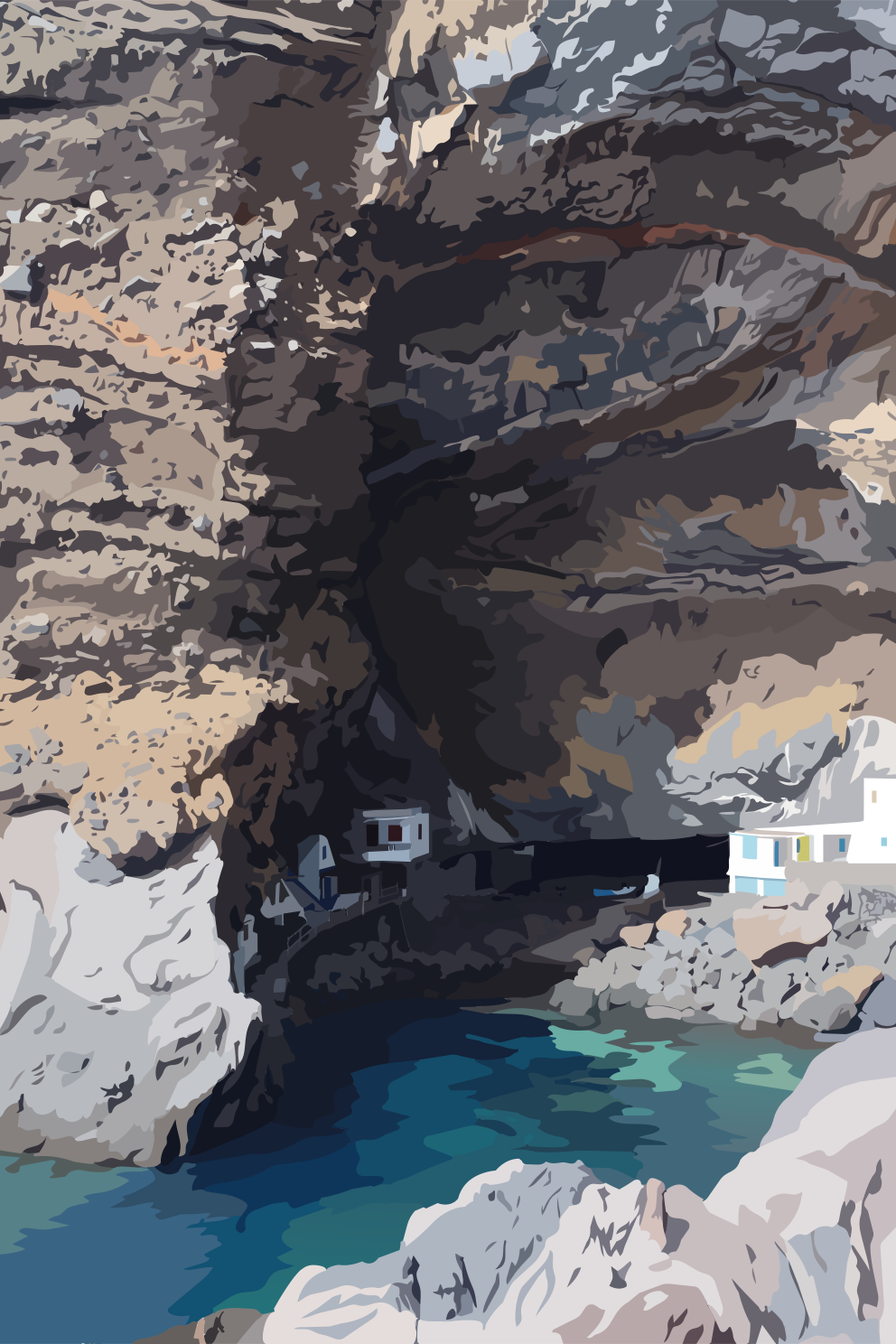
With the Spanish conquest in the 15th century, land use transformed, yet isolation persisted. For centuries, the island was not a single entity, but an archipelago of hard-to-reach microcosms. Towns like Garafía in the rugged north were virtually inaccessible by land; a journey to the island's capital meant days of grueling foot marches over steep cobbled paths (caminos reales). Consequently, the people of Garafía turned toward the ocean: through tiny, naturally sheltered cliff coves (porís), goods and wine were shipped by boat rather than hauled over the island’s rocky barriers. The sea was more reliable than the land.
It was not until the 20th century that this isolation was broken. Road construction demanded immense detours from engineers: to cross a single ravine, roadways had to meander miles inland to find a shallower point before crossing to the other side. Only with the construction of major tunnels through the central mountain ridge and the daring bridge engineering of recent decades did La Palma's divided worlds finally merge. Yet, to this day, every hairpin turn still bears witness to how profoundly the geometry of the mountain slowed the pace of civilization.
III. Landscape as a Habitat
On a local scale as well, the relief remained the decisive measure for community life. Villages emerged preferentially on the flatter ridges (lomos) or natural terraces—where the terrain offered space and spring water could be guided naturally. Across generations, dry-stone walls built into the steep slopes created narrow cultivated fields, giving the island its characteristic terraced landscapes.
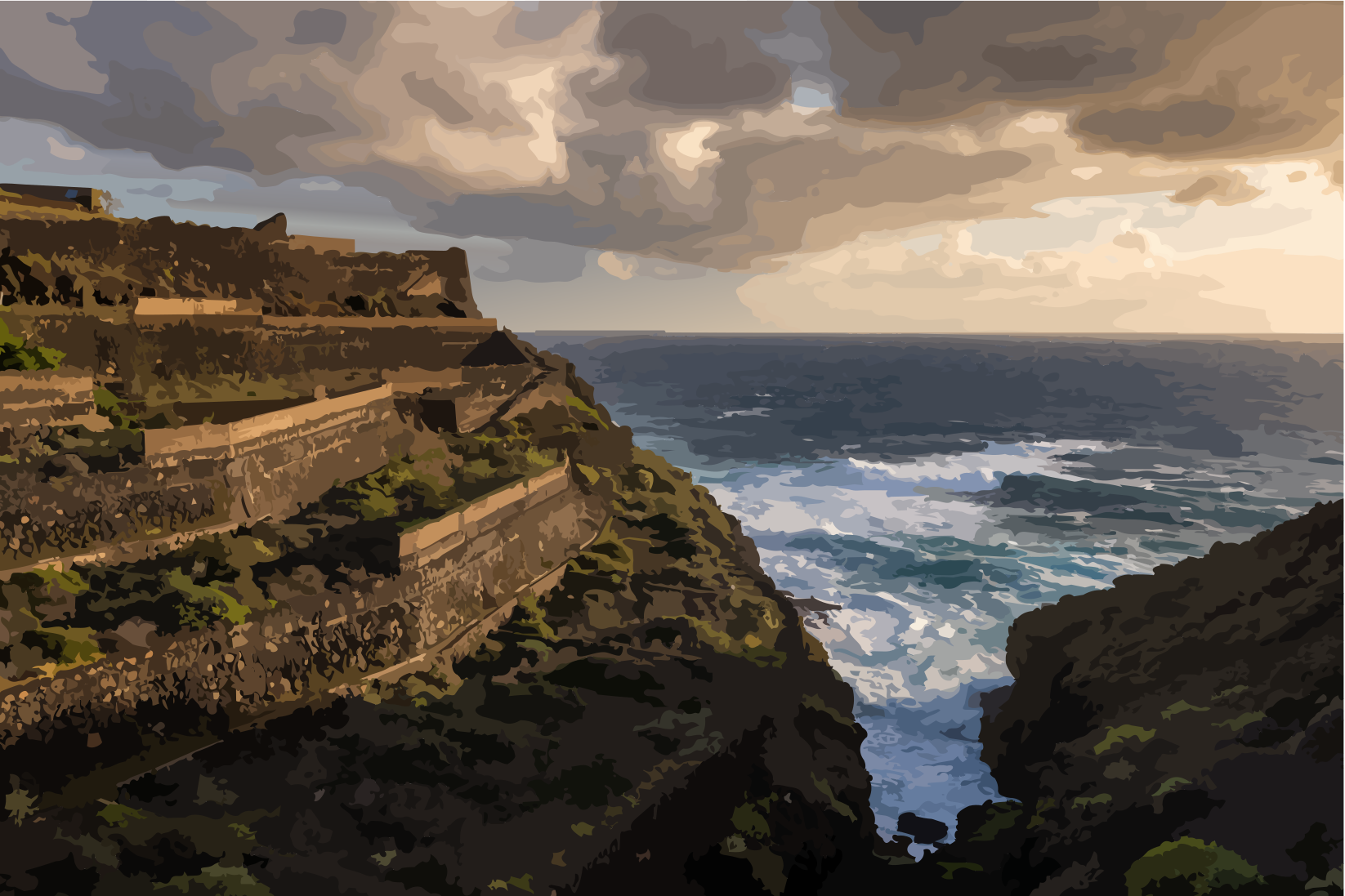
At the same time, agriculture bowed to the dictate of elevation zones: from the banana plantations of the sun-drenched coast to the vineyards planted in black volcanic ash and up to the chestnut forests of the highlands, land use changes with every meter of altitude. The topography was not altered to fit human needs; rather, humans learned to read and work with the structure of the landscape.
IV. Reading the Landscape
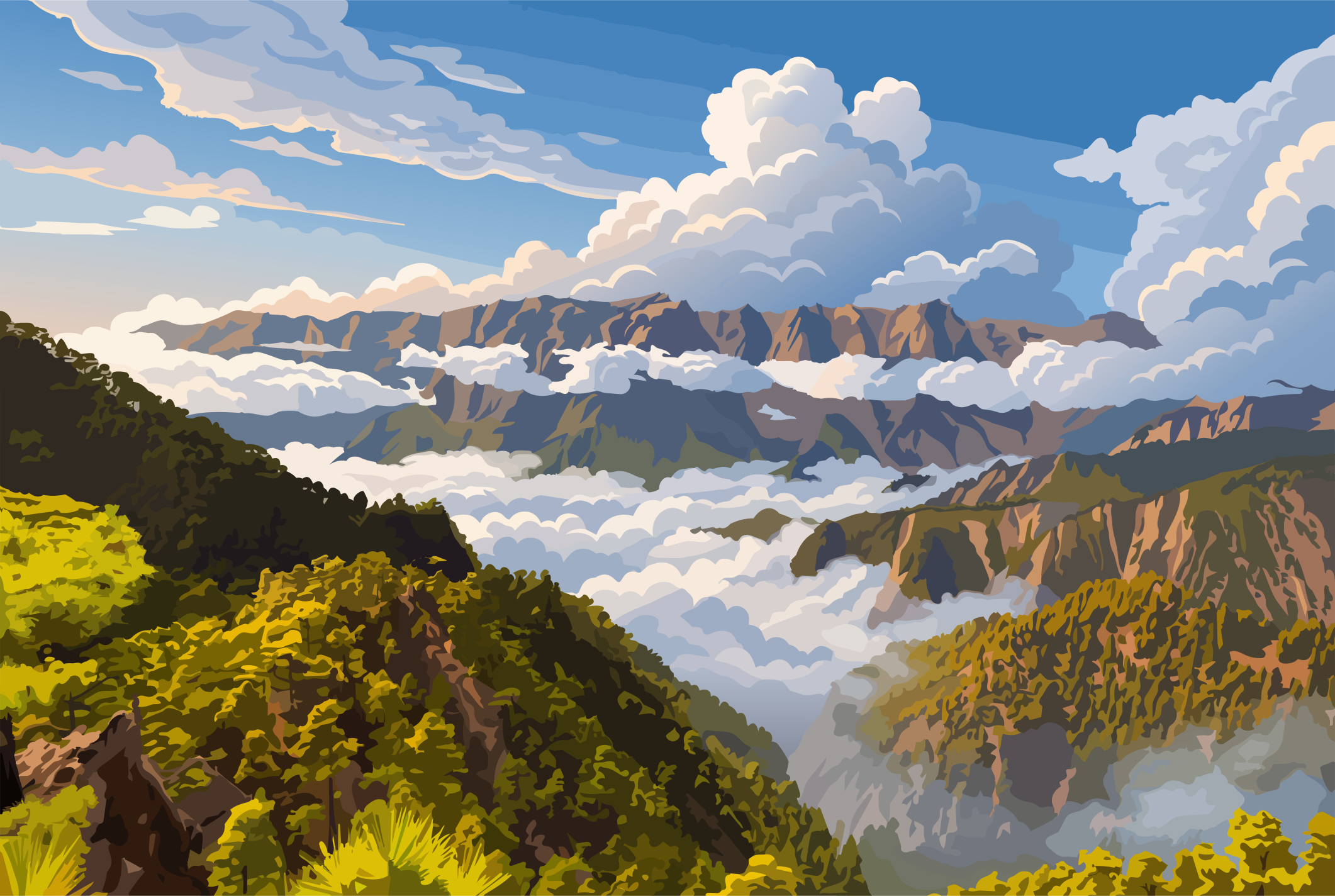
To truly understand La Palma, one must look beyond its summits. Often, a narrow mountain ridge, the damp scent of pine needles drifting through the cloud sea, the trace of an ancient shepherd path, or the rugged cut of a ravine reveals far more about the island than any map ever could.
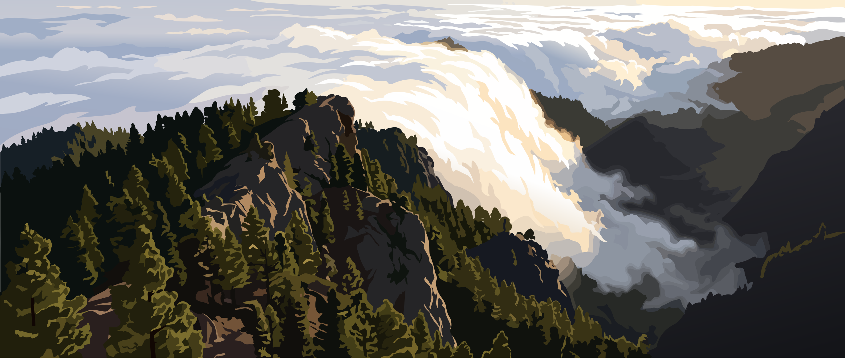
The shape of the landscape reflects paths, settlements, and centuries of lived experience. The relief is La Palma’s signature—drawn in lines, heights, and spaces. Anyone willing to look closer will discover another chapter of this extraordinary island with every hike, every drive, and at every edge of the terrain.
- [1]Gobierno de Canarias. Paisaje Protegido del Barranco de Las Angustias – Plan Especial. Gobierno de Canariashttps://www.gobiernodecanarias.org/planificacionterritorial/descargas/EENN/LA_PALMA/P_14_PP_bcolasangustias/Aprobacion_Definitiva/Informativo.pdf
- [2]Gobierno de Canarias / Dirección General de Patrimonio Cultural. El Gobierno de Canarias se adentra en las cuevas colgadas de La Palma. Gobierno de Canariashttps://www3.gobiernodecanarias.org/noticias/tag/benahoritas/
- [3]Guillermo Morales Matos; Antonio M. Macías Hernández. Génesis, desarrollo y estado actual del espacio rural de Canarias. Ería. Revista cuatrimestral de Geografíahttps://dialnet.unirioja.es/descarga/articulo/838925.pdf
- [4]Ayuntamiento de Barlovento. Normas Urbanísticas. Municipio de Barlovento. Ayuntamiento de Barloventohttps://transparencia.barlovento.es/media/repository/Ordenaci%C3%B3n%20del%20territorio/Informaci%C3%B3n%20del%20plan%20de%20ordenaci%C3%B3n/Normas%20subsidiarias%20municipio%20Barlovento/Normas%20urban%C3%ADsticas.pdf
- [5]Cabildo Insular de La Palma. Plan Territorial Insular de Emergencias de Protección Civil de la Isla de La Palma. Cabildo Insular de La Palmahttps://cabildodelapalma.es/sites/default/files/PLAN%20DE%20EMERGENCIAS%20DE%20LA%20PALMA.pdf
- [6]Gobierno de Canarias. Isla de La Palma. Gobierno de Canariashttps://www3.gobiernodecanarias.org/medusa/wiki/index.php?title=Isla_de_La_Palma
- [7]María Esther Beltrán Yanes; María Eugenia Arozena Concepción; Francisco Javier Dóniz Páez; Leví García-Romero; José León García Rodríguez; Antonio I. Hernández-Cordero; José Mangas; Ángel Palomares; Emma Pérez-Chacón Espino; María del Pino Rodríguez Socorro; Lidia Esther Romero Martín; Carmen Romero Ruiz. Itinerario 1: Nordeste de la isla de La Palma. Gobierno de Canarias / Universidad de La Laguna / Universidad de Las Palmas de Gran Canariahttps://accedacris.ulpgc.es/jspui/handle/10553/162728
- [8]Cayetano Guillén Martín; Carmen Romero Ruiz. Geomorfología de La Palma. Universidad de La Laguna / Gobierno de Canariashttps://portalciencia.ull.es/documentos/67c20debec8dc57b7025971b
- [9]Beltrán Yanes, María Esther; Arozena Concepción, María Eugenia; Daranas, Rafael; Dóniz Páez, Francisco Javier; Ferrer-Valero, Nicolás; García Rodríguez, José León; García-Romero, Leví; Guillén Martín, Cayetano; Hernández-Cordero, Antonio I.; Lorenzo Pérez, José Heriberto; Mangas, José; Marrero-Rodríguez, Néstor; Martínez de Pisón, Eduardo; Máyer-Suárez, Pablo; Palomares Martínez, Ángel; Peña-Alonso, Carolina; Pérez-Chacón Espino, Emma; Pestana Pérez, Gustavo; Rodríguez-Báez, José A.; Rodríguez Socorro, María del Pino; Rojas, Judit; Romero Martín, Lidia Esther; Romero Ruiz, Carmen; Sanromualdo-Collado, Abel; Viña-Brito, Ana del Carmen. Geografía de la isla de La Palma. Guía de campo para interpretar sus paisajes. Universidad de La Laguna / Asociación Española de Geografía / Gobierno de Canariashttps://riull.ull.es/xmlui/handle/915/41341
Comments
No comments yet. Be the first to write one.