

Between Mountain and Sea
How ridges, barrancos, watersheds and coastal landscapes shape La Palma
La Palma cannot be understood through mere compass points or abstract figures of elevation. The true geographical character of the island reveals itself in its transitions: where a sharply defined ridge slopes gently into the terrain, where the dark throat of a barranco opens towards the ocean, or where a windswept mountain pass separates two distinct landscapes.
Those who move across the island pass through an uninterrupted succession of such spatial thresholds. Some confront the eye dramatically and monumentally; others reveal their significance only through the slow movement across the terrain. Together, they weave a complex topographical network that divides La Palma into countless landscape chambers – while at the same time connecting them in fascinating ways.
I. The Cumbres – A Backbone of Stone and Clouds
The island’s great mountain ridges form its geographical backbone. Like a winding mountain spine, the Cumbre Nueva and Cumbre Vieja run through the body of the island.
Their names contain a small geographical irony: the Cumbre Nueva is, geologically speaking, considerably older than the Cumbre Vieja. “New” and “Old” do not refer to the geological age of the two mountain ranges, but to their historical naming.
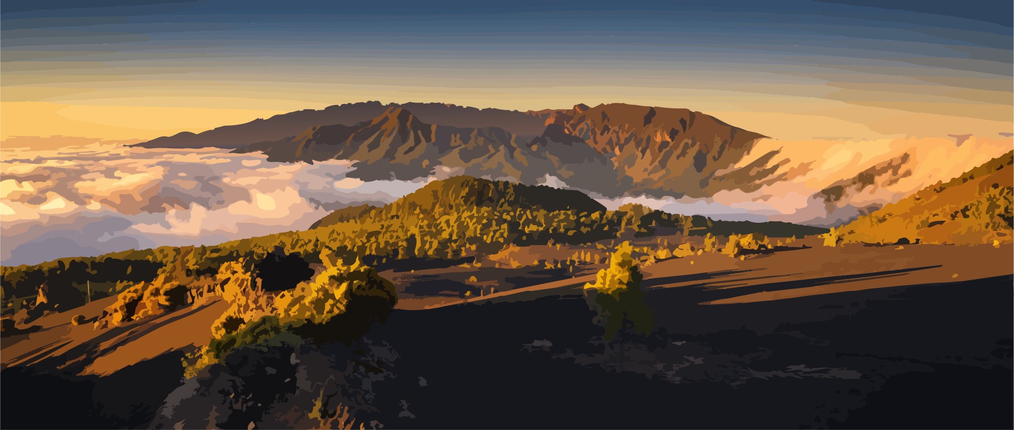
In the centre of the island, the Cumbre Nueva forms a prominent watershed and a natural threshold between the landscapes of the eastern and western sides. Only in a few places does the terrain allow a relatively direct crossing. At Reventón, where the old Camino Real once crossed the Cumbre Nueva, this function of the ridge becomes particularly tangible: here, a geographical boundary becomes a passage, and an obstacle becomes a connection.
Further south, the Cumbre Vieja continues as a long volcanic ridge. It is not a single mountain massif, but a succession of elevations, saddles and volcanic formations. Crossing one of its passes means experiencing a shift in perspective: the horizon moves, the slopes fall towards a different coastline, and the island begins to arrange itself spatially in an entirely new way.
The Cumbres are therefore more than mountain ranges. They are lines that separate spaces while at the same time creating connections between them.
II. Lomos – The Ridges Between the Ravines
As the gaze descends from the great heights into the landscape below, one of La Palma’s most characteristic landforms comes into view: the lomos.
The Spanish word describes a long, elevated ridge – a raised landscape axis between deeper cuts in the terrain. On La Palma, these ridges form natural intermediate spaces within the island’s deeply dissected relief. Paths and roads follow them, settlements orient themselves along them, and their elevated positions often open up broad views across the surrounding landscape.
The many ways in which this form appears are reflected in the island’s place names.
The Lomo de las Chozas lies on the edge of the Caldera de Taburiente. From the viewpoint of the same name, the ridge becomes a natural lookout: it projects like a narrow spur into the interior of the caldera, making its immense depth immediately tangible.
The Lomo del Mosquito accompanies the mountain road towards the Roque de los Muchachos. Here, the lomo forms part of the highland relief – embedded in a landscape of ridges, saddles and steeply falling slopes.
Further down, around Los Llanos de Aridane, the Lomo de Caballo at the Mirador de La Cancelita reveals yet another expression of the same form. Here it becomes clear how such ridges not only structure the natural topography, but also become lines of orientation and places from which people read the landscape.
Yet not every intermediate space on the island rises above its surroundings. Some carry a name that describes precisely the opposite: llano – a plain.
In terrain shaped almost everywhere by slopes, ridges and ravines, even a comparatively gentle piece of land can be perceived as a plain. Los Llanos de Aridane bears its name for a reason; the historic Llano de Argual likewise points to those rare spaces where the relief seems, for a moment, to come to rest.
Lomo and llano thus form almost a geographical pair of opposites: one rises above the landscape, the other gives it room.
Between these larger forms lie smaller depressions and transitions – hoyas, basin-like hollows where the terrain gathers and opens out. And between two barrancos are interfluvios: areas of land that separate their drainage basins and often run through the landscape like gentle ridges.
These are the island’s quieter landforms. Yet they are precisely what determine where paths run, where settlements spread, and where the landscape suddenly finds space.
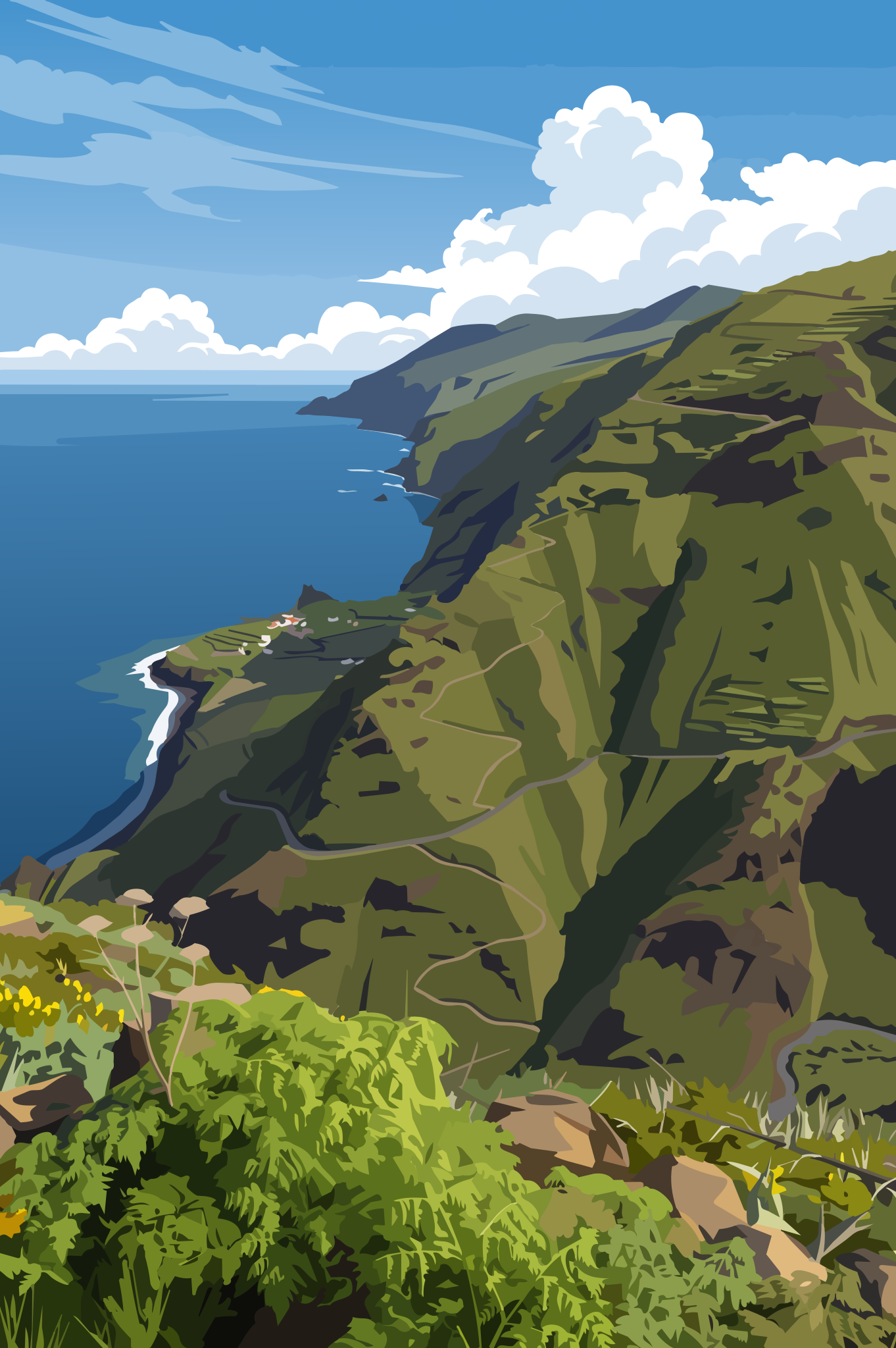
The lomo is therefore a kind of geographical middle ground: neither deep ravine nor summit, but an elevated landscape axis between two depths.
From such a ridge, looking down into the neighbouring barrancos, the apparent complexity of the topography suddenly reveals its order. The ravines no longer appear as isolated valleys, but as cuts within a coherent system of ridges, hollows and slopes.
III. Barrancos – The Deep Lines of the Island
In counterpoint to the elevated lomos, the barrancos cut deeply into the relief. They draw profound lines from the higher reaches down towards the coast, giving the island its unmistakable sense of spatial depth.
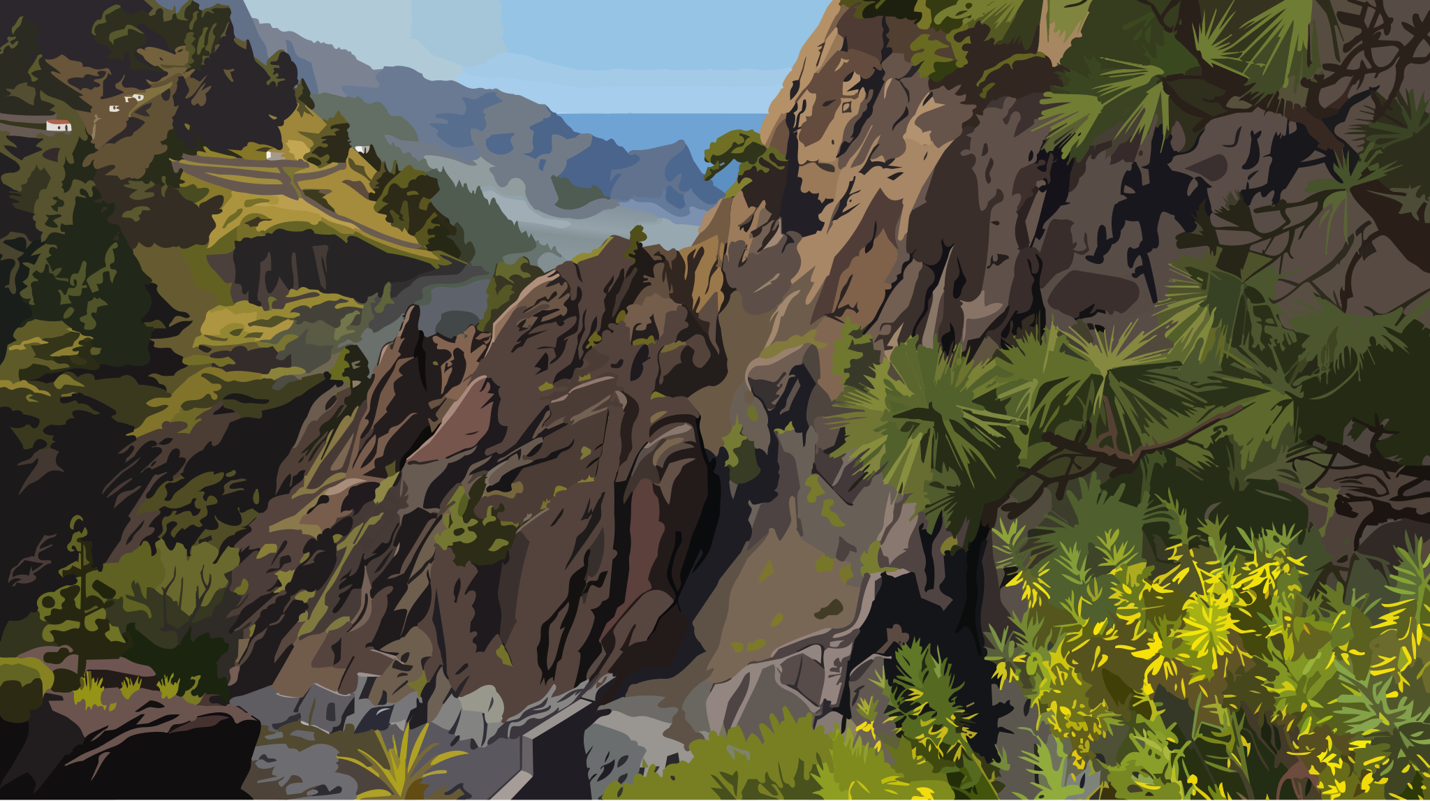
The Barranco de las Angustias – the “Ravine of Anguish” – demonstrates this landscape architecture with particular force. As the natural main outlet of the Caldera de Taburiente, it leads from the heart of the island massif all the way to the Atlantic. Following its course means experiencing a constant alternation between confinement and openness: steep walls close in, the sky narrows to a strip above, and then the space opens again towards the coast.
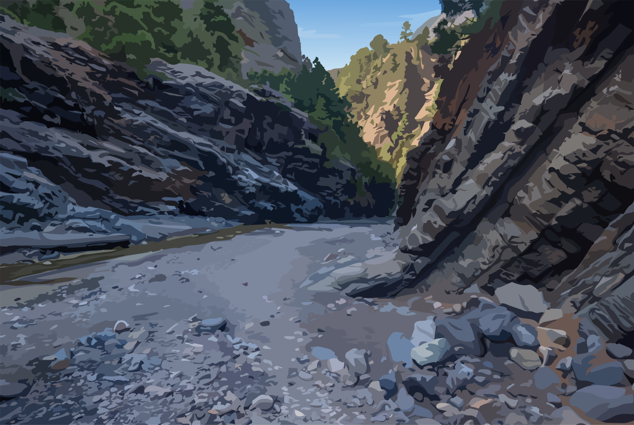
In the wetter landscapes of the north, the same relief takes on a very different character. In the Barranco de la Galga or the Barranco del Agua, water and dense vegetation intensify the impression of deeply enclosed landscape spaces. The ravine becomes a chamber, one in which the dimensions of the terrain can be felt more immediately.
A barranco is always both: it separates the slopes on either side, while at the same time creating a natural line through the island. It can be an obstacle – and at the same time a passage from the interior towards the sea.
Those who see La Palma only as a surface overlook this third dimension. It is the barrancos that reveal just how deeply the island is structured.
IV. The Caldera – A Space Within a Space
The Caldera de Taburiente occupies a special place within this geometry.
From the outside, it appears to form part of the central mountain massif. But once inside, or looking down into it from its surrounding ridges, a landscape of almost overwhelming enclosure reveals itself.
At La Cumbrecita, this spatial quality can be experienced particularly vividly. The view does not simply open onto a broad valley, but into a vast interior space enclosed by mountain slopes and rock walls. Pines cling to the steep hillsides, rock formations such as the Pared de Roberto provide striking landmarks, and above them the surrounding heights close the view into a natural frame.
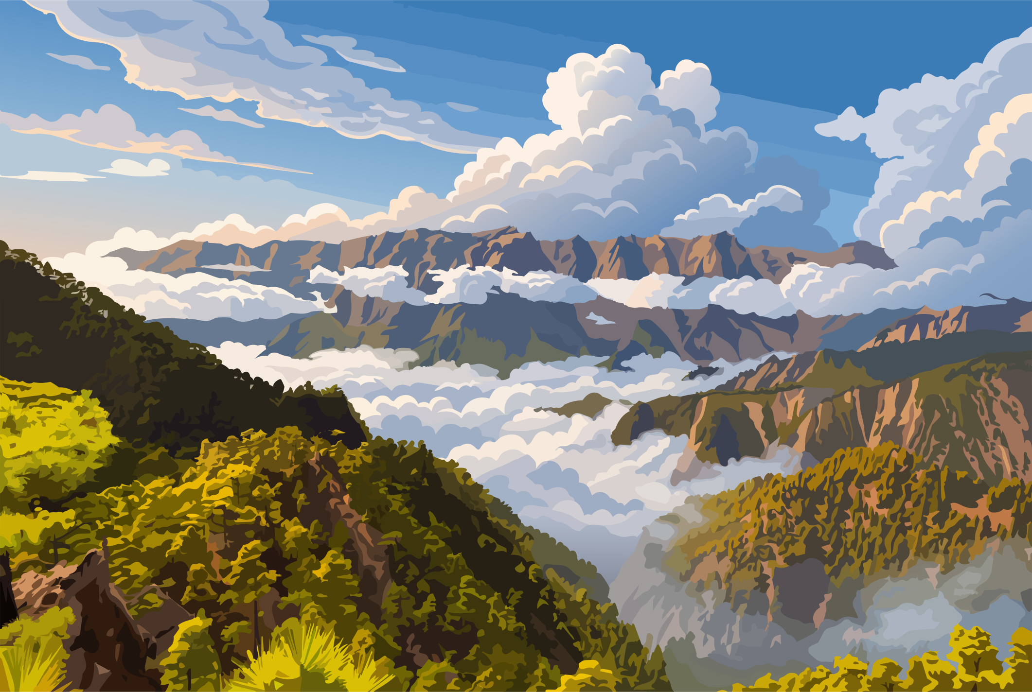
The caldera therefore embodies a geographical principle that is characteristic of La Palma as a whole: spaces can exist within other spaces.
The island consists not only of coastlines, slopes and summits. It also contains landscapes that, through their own topography, seem almost like enclosed worlds.
V. The Boundary Line – Where the Land Meets the Atlantic
At the lower end of this spatial sequence lies the ocean. Yet La Palma’s coastline is not a simple, uniform line. It is the dramatic final point of a vertical movement that stretches from the highlands to the sea.
At Punta de Fuencaliente, at the island’s southernmost tip, the land runs comparatively gently towards the Atlantic. The young volcanic landscape has extended the coastline far to the south, creating an open transition between land and sea.
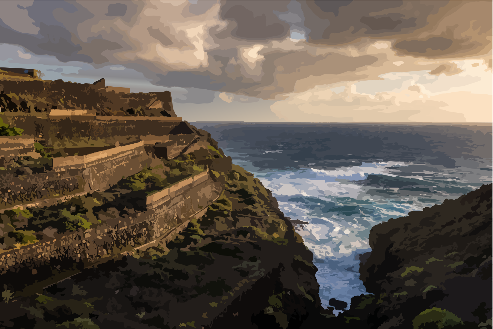
Along the north-western coast near Puntagorda, by contrast, the terrain drops steeply towards the Atlantic in many places. The coast becomes a cliff, the transition from solid land to open water abrupt. There is barely a narrow strip between mountain and sea.
Where the rock falls particularly sharply towards the ocean, the landscape has another name: risco. Here, the cliff edge marks an especially immediate boundary between island and Atlantic – a landform that carries La Palma’s vertical character all the way to the coast.
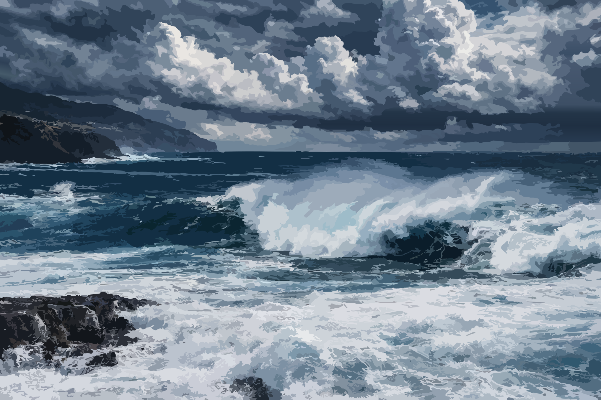
La Palma therefore has not one coastline, but many forms of transition. At times open and accessible, at others steep and forbidding; sometimes narrow, sometimes broken by small coves.
Geographically, the coast is not the end of the island. It is its outermost threshold – the place where the solid body of the island meets the open expanse of the Atlantic.
VI. The View from the Edge – Geography as Insight
The full architecture of this landscape can often only be understood from above. It takes the elevated edges to read the whole.
At the Roque de los Muchachos, 2,426 metres above sea level, the apparently isolated elements of the landscape resolve into their greater lines. From here, the caldera, the Cumbres, the sweeping lomos, the deep barrancos and the coastline far below emerge as parts of one coherent system.
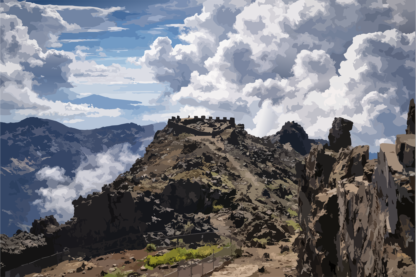
La Cumbrecita offers the same experience on a smaller and more intimate scale within the caldera. Here, it is not the entire island that becomes legible, but the spatial relationship between its slopes, ridges and depths.
Such viewpoints are therefore more than photogenic places with spectacular vistas. They make geographical relationships visible that can often only be perceived in fragments from the ground. From above, the eye suddenly recognises the order behind the apparent chaos of the terrain.
VII. An Island of Endless Thresholds
La Palma is a masterpiece of geometry, shaped by volcanism, erosion, water and time. Its geography cannot be mapped as a static surface, but only experienced as a dynamic system of transitions.
The Cumbre separates and connects.The Lomo leads between the depths.The Llano gives the landscape room.The Hoya gathers the depth.The Barranco cuts into the land and creates a line towards the sea.The Caldera preserves a space within a space.And at the coast, the land finally gives way to the open expanse of the Atlantic.
These forms do not stand alone. They interlock, together forming the spatial signature of the island.
Once you have learned to follow these lines, you see La Palma with different eyes. Every rocky outcrop, every bend in the road, every mountain pass and every veil of mist loses some of its apparent randomness. They become lines in an ongoing book – written by a landscape that, between the depths of the ocean and the roof of the sky, is forever creating new spaces.
And once these geographical lines have become familiar, the individual regions of the island begin to look different, too. For what appears there as a distinctive landscape is always part of a larger whole: an island space unfolding between mountain and sea in ever-changing forms.
- [1]K. Roa. Nature and origin of toreva remnants and volcaniclastics from La Palma, Canary Islands. Journal of Volcanology and Geothermal Research / Elsevierhttps://doi.org/10.1016/S0377-0273(03)00069-6
- [2]Simon Groom; Dan N. Barfod; Ian Millar; Hilary Downes. The Cumbre Nueva collapse (La Palma, Canary Islands): New age determinations and evidence of an isotopic excursion. Journal of Volcanology and Geothermal Research / Elsevierhttps://doi.org/10.1016/j.jvolgeores.2022.107708
- [3]J. R. Colmenero; J. de la Nuez; R. Casillas; C. Castillo. Epiclastic deposits associated with large-scale landslides and the formation of erosive calderas in oceanic islands: The example of the La Palma Island (Canary Archipelago). Geomorphology / Elsevierhttps://doi.org/10.1016/j.geomorph.2012.07.019
- [4]Juan Carlos Carracedo; Simon J. Day; Hervé Guillou; Francisco J. Pérez Torrado. Giant Quaternary landslides in the evolution of La Palma and El Hierro, Canary Islands. Journal of Volcanology and Geothermal Research / Elsevierhttps://doi.org/10.1016/S0377-0273(99)00102-X
- [5]E. Ancochea; F. Hernán; A. Cendrero; J. M. Cantagrel; J. Fúster; E. Ibarrola; J. Coello. Constructive and destructive episodes in the building of a young Oceanic Island, La Palma, Canary Islands, and genesis of the Caldera de Taburiente. Journal of Volcanology and Geothermal Research / Elsevierhttps://doi.org/10.1016/0377-0273(94)90054-X
- [6]Cabildo Insular de La Palma; Gobierno de Canarias. Anuncio de 23 de mayo de 2023 relativo a la incoación del expediente de declaración de Bien de Interés Cultural como 'Conjunto Histórico de la antigua Hacienda y Llano de Argual'. Boletín Oficial de Canariashttps://www.gobiernodecanarias.org/boc/2023/108/024.html
- [7]Ayuntamiento de Puntagorda. Miradores y monumentos naturales. Ayuntamiento de Puntagordahttps://www.puntagorda.es/miradores-y-monumentos-naturales/
- [8]Vicente Lucía Sauquillo; Guillermo Aguilera García; Ayuntamiento de Puntagorda; GESPLAN; Gobierno de Canarias. Plan General de Ordenación Puntagorda – Inventario Ambiental: Geomorfología. Ayuntamiento de Puntagorda / GESPLAN / Gobierno de Canariashttps://www.puntagorda.es/wp-content/uploads/2016/05/20160511101236_IA-03-Geomorfologia.pdf
- [9]Ayanta Velasco Martínez. Island shelf and slope geomorphology of La Palma island (Southern sector). Universidad de Las Palmas de Gran Canariahttps://accedacris.ulpgc.es/handle/10553/56065
- [10]Gobierno de Canarias – Parque Nacional de la Caldera de Taburiente. Geología y geomorfología. Gobierno de Canarias / Parque Nacional de la Caldera de Taburientehttps://www.gobiernodecanarias.org/parquesnacionales/caldera_de_taburiente/el_parque/valores_naturales/geologia/
- [11]Ministerio para la Transición Ecológica y el Reto Demográfico (MITECO). Caldera de Taburiente: Itinerarios – Cumbrecita - Ermita de la Virgen del Pino. Ministerio para la Transición Ecológica y el Reto Demográfico / Red de Parques Nacionaleshttps://www.miteco.gob.es/es/parques-nacionales-oapn/red-parques-nacionales/parques-nacionales/taburiente/guia-visitante/ruta12.html
- [12]Ministerio para la Transición Ecológica y el Reto Demográfico (MITECO). Caldera de Taburiente: Itinerarios – Cumbrecita-Lomo de las Chozas. Ministerio para la Transición Ecológica y el Reto Demográfico / Red de Parques Nacionaleshttps://www.miteco.gob.es/en/parques-nacionales-oapn/red-parques-nacionales/parques-nacionales/taburiente/guia-visitante/ruta1.html
- [13]Instituto de Astrofísica de Canarias (IAC). Geology of La Palma. Instituto de Astrofísica de Canariashttps://www.ing.iac.es/PR/lapalma/geology.html
- [14]Ministerio para la Transición Ecológica y el Reto Demográfico (MITECO). Caldera de Taburiente: Características naturales. Ministerio para la Transición Ecológica y el Reto Demográfico / Red de Parques Nacionaleshttps://www.miteco.gob.es/es/parques-nacionales-oapn/red-parques-nacionales/parques-nacionales/taburiente/valores-naturales/caldera.html
Comments
No comments yet. Be the first to write one.