

I. The Darkness of the Abyss
Before La Palma was an island, there was no land here. Only ocean.
Anyone travelling to this place would have found no horizon where the jagged crowns of pine forests cut into the trade-wind clouds. There were no cliffs of deep-black basalt, no surf roaring against volcanic sand, no deep ravines where the silence of millions of years had taken up residence. Where the northern massif rises today, there was nothing but an unbroken, gently heaving expanse of water.
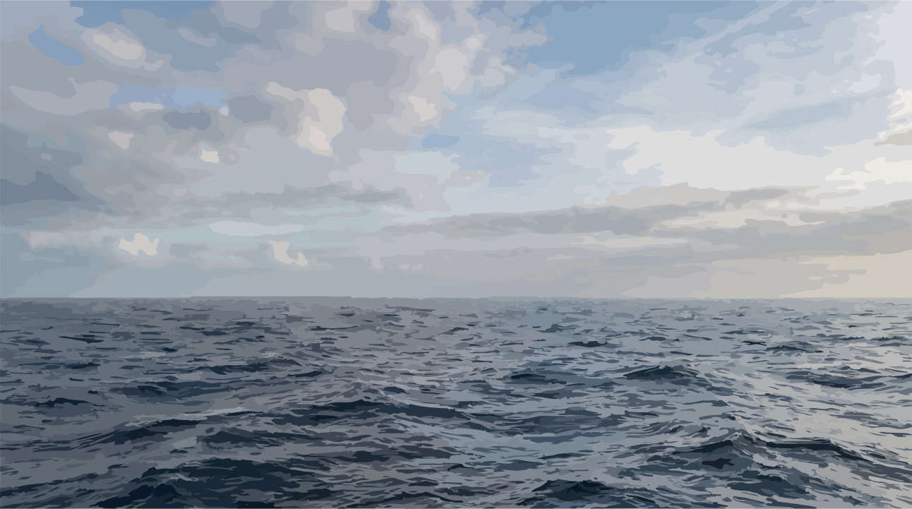
Descend into the depths of this timeless place, and the familiar face of Earth gradually disappears. Sunlight, still dancing in turquoise patterns at the surface, is quickly swallowed. At a hundred metres, the colours begin to fade; at two hundred, only a dim blue remains. Below that begins the realm of eternal darkness.
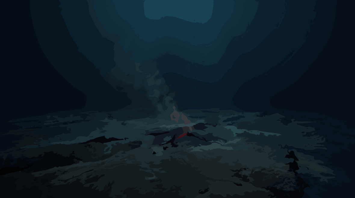
For kilometres, the gaze sinks through a vast column of water. Pressure builds relentlessly, layer upon layer, until the seafloor is reached: a largely silent, cold desert of bathyal sediments and ancient crust, frozen beneath the weight and command of the deep.
Across immense spans of time, almost nothing appears to happen here. Time is not measured in days or seasons, but in the slow, almost imperceptible settling of the finest silt. This is a world in thermal and dynamic equilibrium, governed by cold, darkness and the languid stillness of the deep ocean basins.
And yet, far beneath this silent floor, the history of the island is already beginning.
With no witnesses, hidden from every ray of light and far beyond anything the surface could perceive, a change is taking shape. It is not yet an island. Not even a mountain.
But deep within the foundations of the oceanic lithosphere, the rock has begun to move.
A movement has started—silent, invisible, but irreversible.
II. The Pulse in the Mantle
Follow the trail of magma downward, and you leave the world of oceanic crust behind, entering the planet’s interior. Here, in the upper mantle, immense pressures meet extraordinary temperatures. The rock is not liquid like water. It is largely solid, yet it is not rigid. Over geological timescales, it can deform and flow, slowly but continuously.
Somewhere within this vast body of rock, melt begins to form.
What drives this process beneath the Canary Islands remains one of the enduring questions of geoscience. For much of the past century, a deep-seated mantle plume was regarded as an especially elegant explanation: a column of hot, rising material carrying heat and matter upward from great depth and delivering additional thermal energy beneath the overlying lithosphere.
But the Earth rarely follows such simple blueprints.
Today, several geodynamic models are being considered to explain volcanism in the Canary Islands. They range from a deep-reaching mantle plume to processes involving the structure of the upper mantle, regional stress fields, and the movement or deformation of the oceanic lithosphere. Scientists are also investigating interactions between processes operating at different depths.
The rocks themselves preserve clues to this history. Their chemical composition can reveal the origins of the melts and the conditions in which they formed. Minerals can provide evidence of pressure and temperature. Geophysical measurements add another layer to the picture.
Yet the deeper we follow the trail, the less sharply defined that picture becomes.
We know the trail.
But the precise interplay of forces remains, to this day, a subject of scientific investigation.
What we can say with certainty is that melts formed in the mantle beneath the Canaries and began their journey upward. One fundamental physical principle played a decisive role: magmatic melts can be less dense than the surrounding solid rock. This gives them buoyancy.
The journey upward, however, was no straight passage through a solid planet. Magma moves through a complex framework of rock, exploiting existing structures and creating new fractures. As it rises, it may accumulate temporarily, change composition or solidify again. Some reaches the surface. Some remains trapped below.
Exactly how this system evolved during the earliest stages of La Palma cannot be reconstructed in every detail. What the island preserves above all is the result: the rocks left behind by the magma, and the structures through which it forced its way.
Over immense spans of time, individual episodes of melting gradually became a volcanic system.
At the surface, nothing was yet visible.
Above the place where La Palma would one day emerge, there was still only the Atlantic.
But deep below, something had changed.
The seafloor was no longer the end of the story.
It was the beginning.
III. The Struggle Beneath the Sea
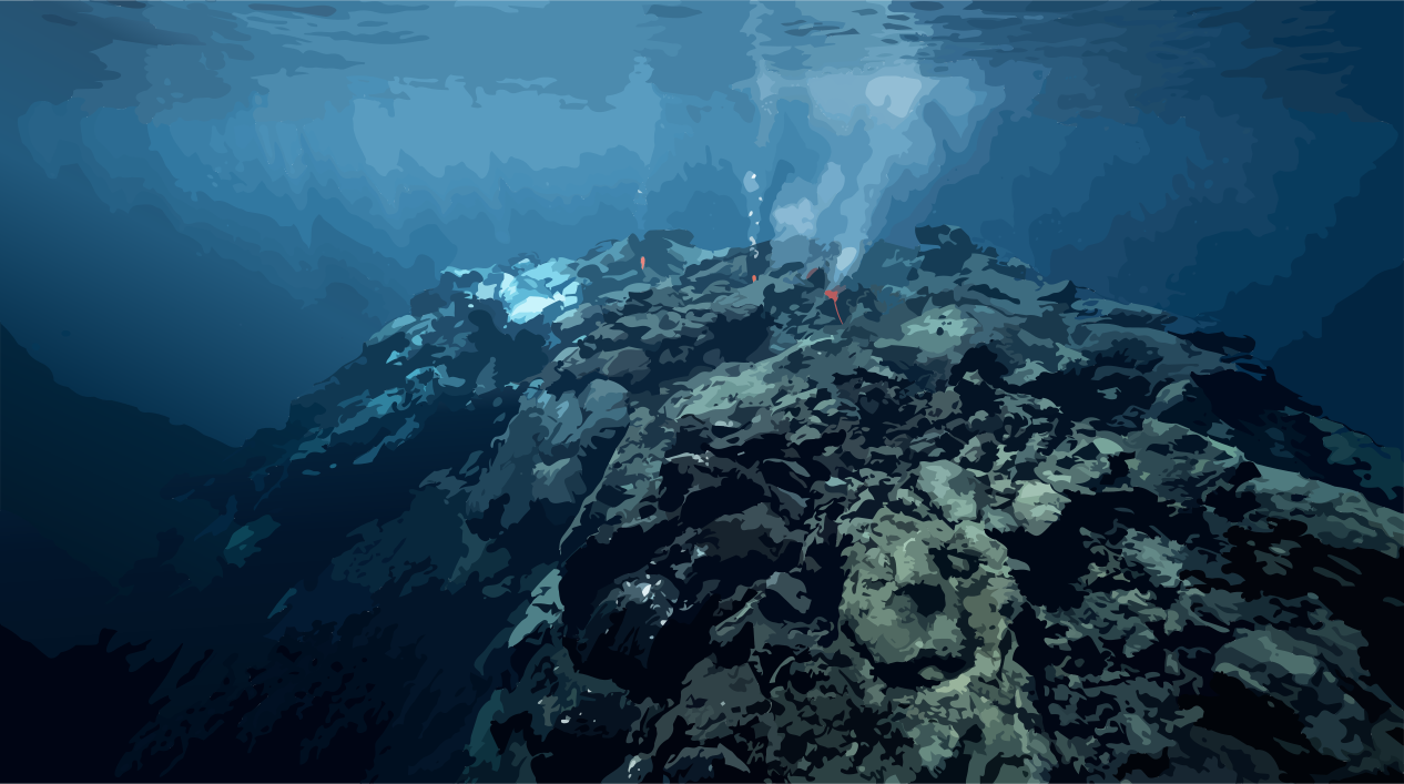
When the first magma reached the seafloor, incandescent heat met the cold darkness of the deep ocean.
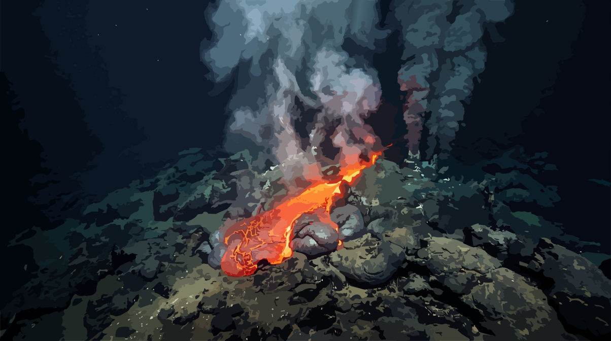
An elemental force was breaking into this landscape—and yet the first stage of the island’s birth was completely invisible from the surface. Under the immense pressure of the water, ascending basaltic melt behaved differently from magma erupting on land. The sea could not simply extinguish its tremendous energy. Instead, it rapidly drew heat from the lava, causing its outer surface to solidify.
When the melt emerged onto the seafloor, a solid shell of volcanic glass formed where it met the water. Behind it, more molten rock continued to push forward. The hardened shell bulged, split open and filled again with liquid rock.
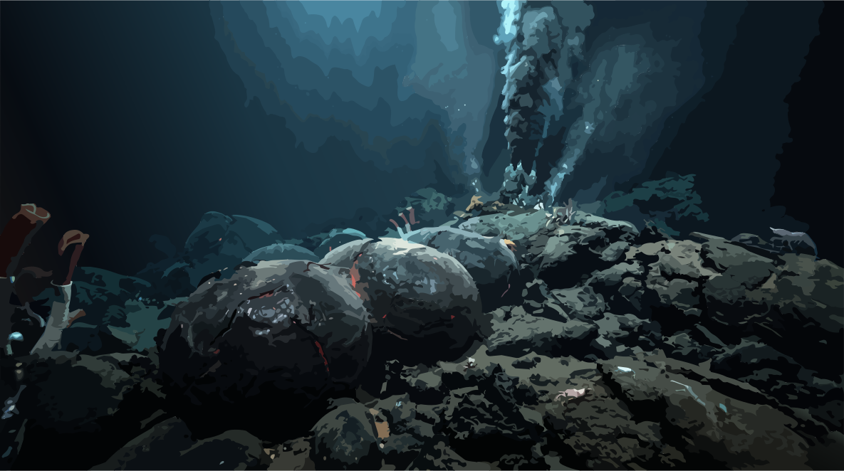
This was how the characteristic pillow lavas were born: rounded, sack-like bodies that accumulated on the floor of the Atlantic through countless eruptions. Where water quenched and fragmented the lava particularly rapidly, a different rock formed: hyaloclastite. The glassy crust shattered into fragments, accumulating together with pillow breccias along the slopes of the young volcano.
The first landscape of La Palma was a landscape no one could see.
Layer by layer, a volcanic body grew beneath the sea—a seamount. What solidified on the seafloor became the foundation for later eruptions.
But the volcano was not growing only from the outside.
New melts forced their way through already solidified rock, forming dense swarms of dykes and cutting through the young mountain from within. Larger bodies of magma intruded into the volcanic edifice, transforming its interior.
What formed then, deep beneath the Atlantic, is now exposed before us.
Around the Caldera de Taburiente and the Barranco de Las Angustias, rocks from this early submarine stage are exposed at the surface. They belong to the Basal Complex—the oldest geological unit of La Palma accessible today. Here we find pillow lavas, pillow breccias and hyaloclastites, cut through by an extraordinarily dense network of basaltic dykes.
It is one of the most remarkable geological windows La Palma has to offer.
Today, we stand on rock that once formed deep beneath the sea.
Not on a coast.
Not in the surf.
But as part of a seamount whose slopes were still covered by the Atlantic.
How this foundation later rose above sea level is itself part of La Palma’s dynamic history. The submarine complex was penetrated and uplifted by magmatic intrusions, then shaped by erosion before later volcanic edifices were built upon it.
But at that time, the summit of the seamount still lay beneath the surface.
With every new pulse of magma, the structure grew higher. The seafloor moved closer to the sky. The pressure of the water column decreased, while conditions at the summit of the volcanic mountain began to change.
The mountain was approaching a boundary.
Soon, the water would no longer stand above it.
Soon, for the first time, fire would meet the light.
IV. The Breakthrough into Light
The transition from sea to sky did not happen in a single day. It was a process in which water gradually lost its dominance.
As the volcanic edifice grew higher, the water column above its eruptive centres became shallower. The physical conditions under which magma emerged changed with it. Hydrostatic pressure decreased, allowing gases dissolved in the magma to escape more easily.
What could still flow relatively quietly at great depth became increasingly shaped, in shallower water, by the interaction between hot melt and water.
Near the sea surface, this interaction can become especially dynamic. When water penetrates hot volcanic material, it is transformed almost instantaneously into steam and can tear the magma apart into countless fragments. Ash, lapilli and the finest pyroclastic particles are produced.
Such shallow-marine eruptions are known as Surtseyan, named after the Icelandic volcanic island of Surtsey, which emerged in the 1960s. Whether the emergence of early La Palma can be reconstructed in precisely this way at every stage remains a matter of scientific investigation. The preserved deposits, however, document the transition from a submarine seamount to the subaerial phase of the island’s development.
The fire reached the surface.
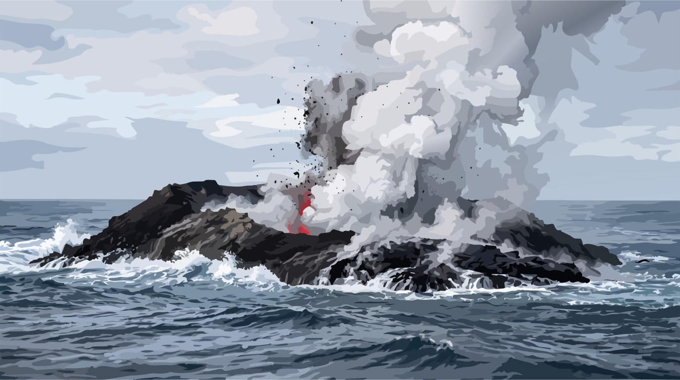
The underwater volcano was becoming land.
At first, this new summit was a volatile structure. Freshly deposited pyroclastic sediments and cooling lavas were exposed to the relentless surf of the ocean. The sea attacked the deposits, carried loose material away and began shaping the first coastlines.
But eventually, volcanism prevailed over erosion.
Eruption after eruption continued to build the young land.
Underwater, the Atlantic had cooled the lava almost instantly, causing its surface to solidify rapidly. Now the melt could flow beneath the open sky. Basaltic lava flows spread outward, solidified in the air and formed powerful layers of rock.
According to current geological dating, the subaerial history of La Palma began around 1.7 to 1.8 million years ago—a development that can be traced directly in the rocks formed above sea level.
The threshold had been crossed.
The seamount had become a permanent island.
But the making of La Palma was far from complete.
Only now did the phase begin in which magmatic processes would build their immense edifice above sea level. Lava spread over lava. Eruptive centres grew and shifted through the geological ages. From countless pulses of activity, a massive volcanic body took shape.
And as the island gained height and mass, another force was already gathering in secret:
gravity.
Every new layer of basalt did not merely make La Palma larger and more powerful.
It made it heavier.
The island was growing towards its own instability.
V. The Age of Giants
With the permanent emergence above sea level began the great age of construction. Over hundreds of thousands of years, the north of La Palma developed into a vast volcanic edifice in the Atlantic.
This construction did not take place around a single eruptive centre. Several volcanic edifices formed successively, overlapping and transforming one another.
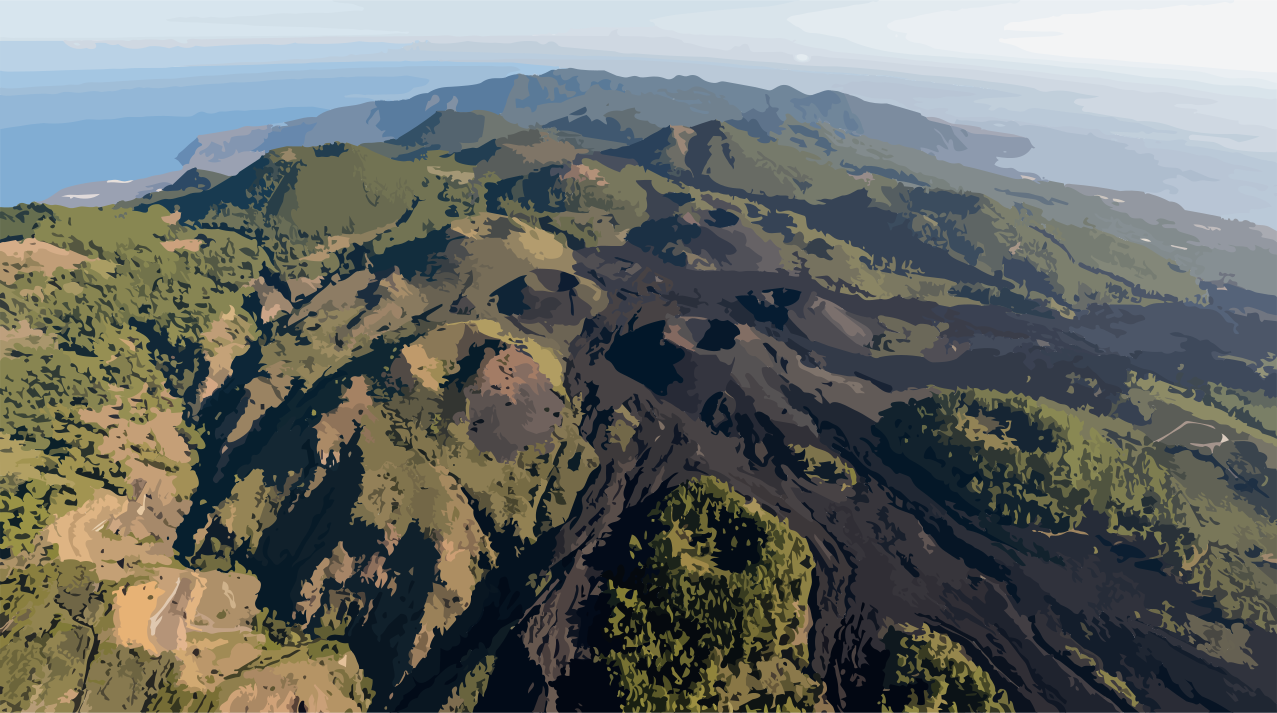
Among the oldest documented subaerial structures is the Garafía Volcano. Countless basaltic lava flows spread across its slopes, cooled and solidified, then disappeared beneath younger layers. Layer upon layer, a vast shield volcano grew.
Later, the powerful Taburiente Volcano developed in the central region. In the south of the older volcanic body, the Bejenado Complex, among other structures, eventually emerged.
The individual volcanic phases overlapped and reshaped one another, gradually forming the island massif whose remnants define the topography of the north today.
But a volcanic island cannot grow indefinitely without its own mass becoming a decisive geological force.
With every new lava flow, the weight of the edifice increased. At the same time, countless dykes and fractures cut through the rock, while hydrothermal processes altered its chemistry and weakened it from within.
Steep slopes, unstable foundations and the relentless pull of gravity acted together upon a body that continued to grow.
The force that built the island was also destabilising its architecture.
At large oceanic volcanoes, gravitational stresses can culminate in enormous flank failures. A substantial part of a volcanic edifice can lose stability, detach and slide into the ocean under its own weight.
La Palma, too, bears the indelible scars of such major events.
They are particularly striking in the large-scale structure of the Cumbre Nueva, whose present form was shaped to a significant extent by a massive flank collapse. More recent geological studies and dating place this collapse within a window of approximately 519,000 to 529,000 years ago.
What we see here is not a cinematic snapshot of the collapse, but its traces preserved in the landscape and in the vast deposits it left behind.
A colossal part of the volcanic edifice moved downslope. A landscape built over hundreds of thousands of years was fundamentally reshaped within a geologically brief span.
But the collapse did not mean the end of volcanism.
Further phases of magmatic activity followed the great collapses. New lava flows filled zones of rupture, new eruptive centres emerged, and the island was reshaped once again.
As the island’s more recent history unfolded, the focus of activity gradually shifted southward, where the eruptive alignments of the Cumbre Vieja now dominate the landscape.
Volcanism builds.
Gravity tears down.
Volcanism builds again.
Seen in this light, La Palma is not a static monument of basalt. It was created—and continues to change—through an endless interplay of construction and erosion, solidification and fracture, ascent and collapse.
The island grew by deforming itself.
And while new layers continued to form along its flanks, another force had long since begun to expose its interior once again:
water.
VI. The Eternal Sculptor
If volcanism is the architect of La Palma, then water is its sculptor.
What was shaped over millions of years by volcanic construction and immense collapses has, since the island first emerged, been exposed to the forces of the atmosphere.
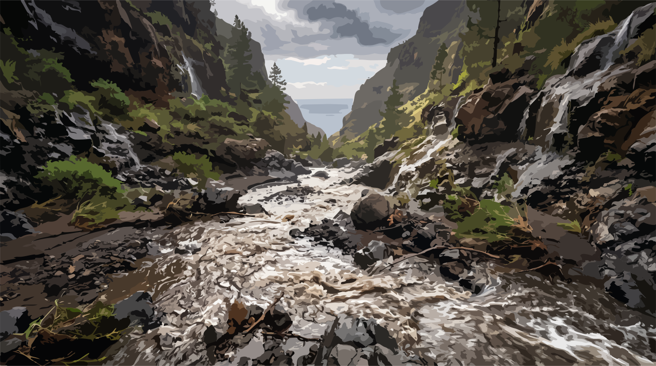
Moist trade winds rise along the steep slopes, cool and form clouds. Rain falls onto volcanic rock, gathers in channels and ravines, and drives a process that never truly stops.
Nowhere is this interplay more dramatically revealed than in the heart of the north:
the Caldera de Taburiente.
Contrary to older popular interpretations, this immense depression is not simply the remnant of a single explosion crater. Its present form emerged through a complex interplay of volcanic construction, gravitational flank collapses and prolonged exogenic erosion.
Major collapses fundamentally altered the volcanic edifice, while water and weathering continued, over immense spans of time, to excavate and deepen the zones of weakness they had exposed.
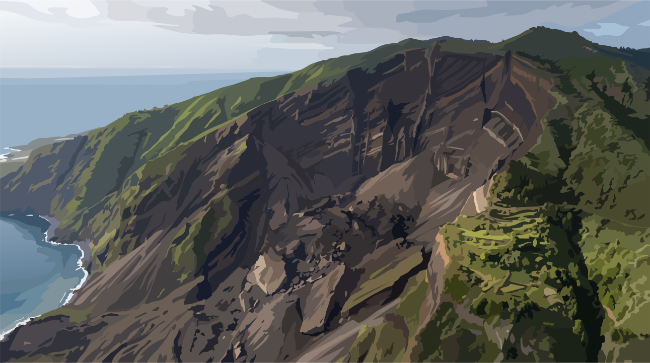
The Barranco de Las Angustias makes the power of this process visible as the principal drainage channel. Watercourses cut deep into the rock, follow fractures and faults, gradually strip material from the slopes and carry it back towards the Atlantic.
In this way, water exposes layer after layer of what volcanism once concealed.
Anyone standing in the Caldera today and looking up at its immense rock walls is not looking at a static landscape.
They are looking into an open book of the island’s history.
Deep within the ravines, rocks of the ancient, geologically altered Basal Complex are exposed—remnants of that early submarine phase when La Palma was still growing beneath the sea.
Above them lie the volcanic sequences of the Garafía and Taburiente volcanoes, cut through by vertical magmatic dykes that slice through the rock like petrified arteries.
The eternal sculptor does not merely destroy the volcano’s form.
It reveals its anatomy.
Yet while water, wind and weathering erode the ancient island body in the north and expose its inner architecture, La Palma’s magmatic story is far from over in the south.
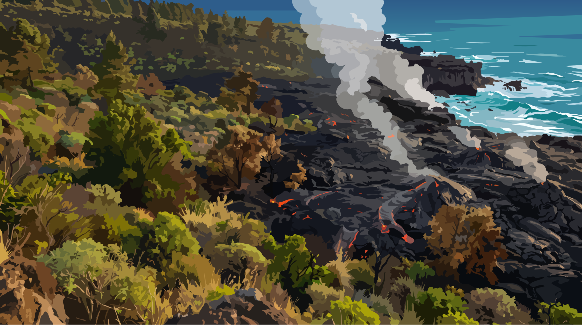
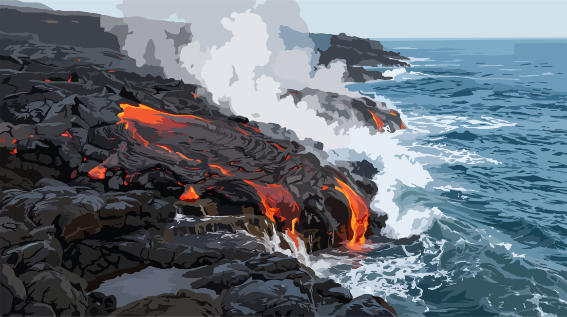
Along the Cumbre Vieja, new eruptive centres have continued to form in historical and recent times. During eruptions, lava has flowed across older slopes, buried existing landscapes and, in places along the coast, created new volcanic land.
Here, the circle closes with the beginnings in the deep abyss.
La Palma was not created through a single, completed act of creation.
The island has no final state.
It was never finished—and it never will be.
It exists in a perpetual interplay between the inner heat of our planet and the external forces of ocean and atmosphere.
Deep beneath it, melt forms.
Magma rises.
Rock solidifies.
Volcanoes grow.
Flanks collapse.
Rain and water carry material away.
New eruptions begin.
Construction and destruction are not opposites.
They are the two breaths through which the island lives.
The work remains unfinished.
The birth of the island continues.
- [1]J. L. Pérez et al.. La Palma island (Spain) geothermal system revealed by 3D magnetotelluric data inversion. Scientific Reports / Nature Portfoliohttps://doi.org/10.1038/s41598-020-75001-z
- [2]Hubert Staudigel; Hans-Ulrich Schmincke. The history of intrusive activity on the island of La Palma (Canary Islands). Journal of Volcanology and Geothermal Research / Elsevierhttps://doi.org/10.1016/0377-0273(86)90018-1
- [3]Andreas Klügel; Karsten Galipp; Kaj Hoernle; Folkmar Hauff; Simon Groom. Geochemical and Volcanological Evolution of La Palma, Canary Islands. Journal of Petrology / Oxford University Presshttps://doi.org/10.1093/petrology/egx052
- [4]J. R. Colmenero; J. de la Nuez; R. Casillas; C. Castillo. Epiclastic deposits associated with large-scale landslides and the formation of erosive calderas in oceanic islands: The example of the La Palma Island (Canary Archipelago). Geomorphology / Elsevierhttps://doi.org/10.1016/j.geomorph.2012.07.019
- [5]Raphaël Paris; Juan Carlos Carracedo. Formation d'une caldera d'érosion et instabilité récurrente d'une île de point chaud : la caldera de Taburiente, La Palma, îles Canaries. Géomorphologie : relief, processus, environnementhttps://doi.org/10.3406/morfo.2001.1093
- [6]Hervé Guillou; Juan Carlos Carracedo; R. A. Duncan. K–Ar, 40Ar–39Ar ages and magnetostratigraphy of Brunhes and Matuyama lava sequences from La Palma Island. Journal of Volcanology and Geothermal Research / Elsevierhttps://doi.org/10.1016/S0377-0273(00)00294-8
- [7]Simon J. Day; Juan Carlos Carracedo; Hervé Guillou; Philip Gravestock. Recent structural evolution of the Cumbre Vieja volcano, La Palma, Canary Islands: volcanic rift zone reconfiguration as a precursor to volcano flank instability?. Journal of Volcanology and Geothermal Research / Elsevierhttps://doi.org/10.1016/S0377-0273(99)00101-8
- [8]Juan Carlos Carracedo; Simon J. Day; Hervé Guillou; Francisco J. Pérez Torrado. Giant Quaternary landslides in the evolution of La Palma and El Hierro, Canary Islands. Journal of Volcanology and Geothermal Research / Elsevierhttps://doi.org/10.1016/S0377-0273(99)00102-X
- [9]Juan Carlos Carracedo; Simon J. Day; Hervé Guillou; Philip Gravestock. Later stages of volcanic evolution of La Palma, Canary Islands: Rift evolution, giant landslides, and the genesis of the Caldera de Taburiente. Geological Society of America Bulletin / Geological Society of Americahttps://doi.org/10.1130/0016-7606(1999)111<0755:LSOVEO>2.3.CO;2
- [10]E. Ancochea; F. Hernán; A. Cendrero; J. M. Cantagrel; J. Fúster; E. Ibarrola; J. Coello. Constructive and destructive episodes in the building of a young Oceanic Island, La Palma, Canary Islands, and genesis of the Caldera de Taburiente. Journal of Volcanology and Geothermal Research / Elsevierhttps://doi.org/10.1016/0377-0273(94)90054-X
- [11]Hubert Staudigel; Hans-Ulrich Schmincke. The Pliocene seamount series of La Palma/Canary Islands. Journal of Geophysical Research: Solid Earth / American Geophysical Unionhttps://doi.org/10.1029/JB089iB13p11195
Comments
No comments yet. Be the first to write one.