

Before the Island Was Called La Palma
The History of the Benahoaritas
The island has many names. One of them is Benahoare; today it is called La Palma. In historical sources, we encounter San Miguel de La Palma; later, names such as La Isla Bonita or the “green island” were added. Each of these names tells us a little about how people have viewed and understood this place.
Benahoare belongs to an older layer of its history. The name is known from accounts dating to the period of the Castilian conquest and is often rendered as “my land” or “my earth.” Exactly how the name was originally used and what significance it held for the people themselves cannot be reconstructed with complete certainty from the fragmentary sources.
Today we call the pre-Hispanic population Benahoaritas or Auaritas – names that, too, have only come down to us through later traditions. We do not know for certain what these people called themselves.
With them begins the part of La Palma’s history that we can trace through archaeology and historical sources.
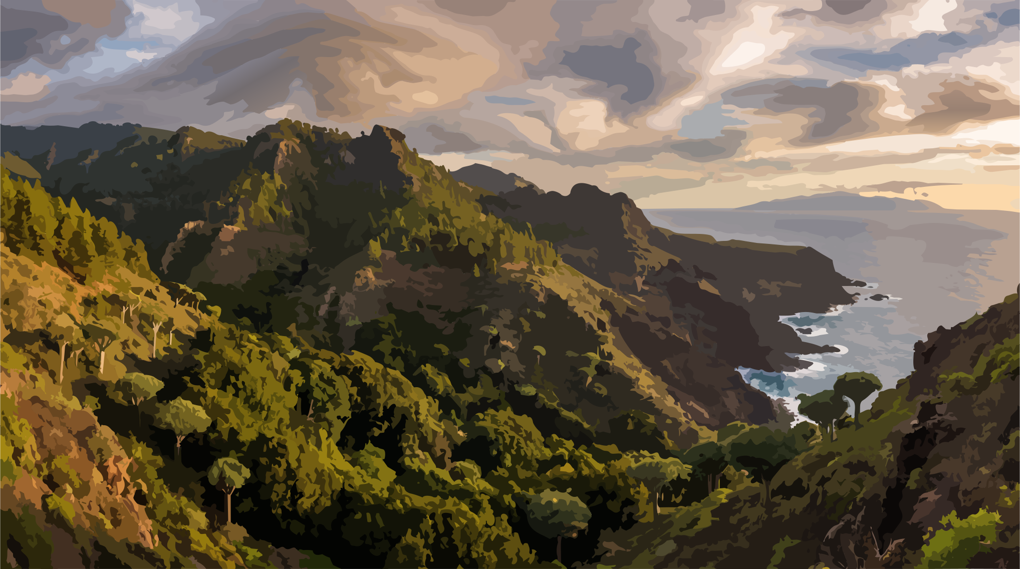
Whether people had already reached the island before them remains an open question. Their traces may lie buried beneath more recent volcanic deposits or sediments. An island that is itself constantly changing shape does not always preserve its past on the surface.
What we know, therefore, does not necessarily begin with the first people to set foot on La Palma.
It begins where their traces become visible to us.
I. Arrival
Where an Island Becomes Home
At some point, people came across the sea.
They reached an island whose landscape differed fundamentally from the world they had come from: steep mountain slopes, deep ravines, dry coasts, humid forests, and a mountain range rising into the clouds. Whether the first settlers deliberately set course for La Palma or were part of a longer movement of migration can no longer be reconstructed. One thing is certain: they came by sea, and their arrival grew into a permanent settlement.
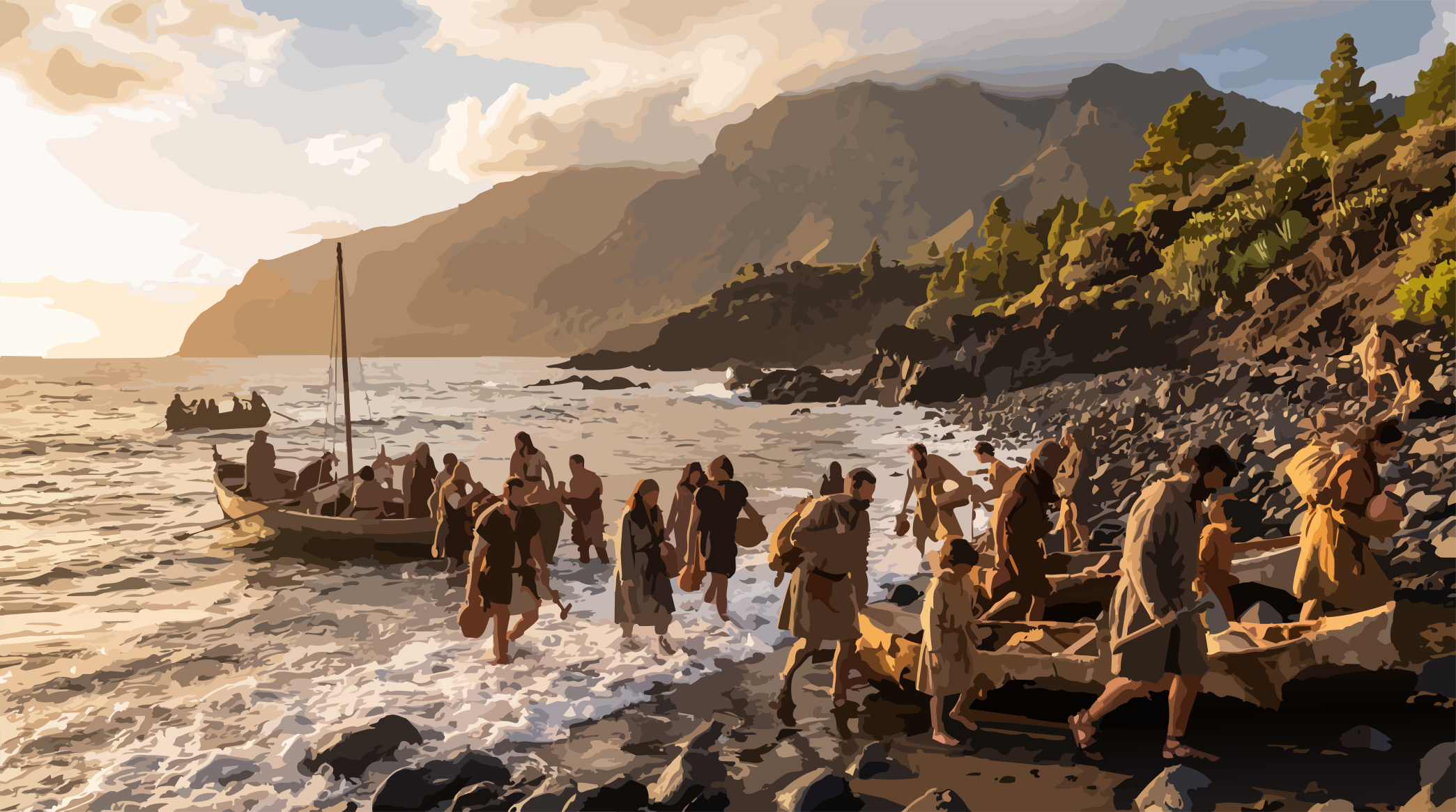
The population that developed here stood in cultural relationship with the societies of Northwest Africa. Over generations, this gave rise to a distinct island society, shaped by the conditions of La Palma: the availability of water, the different altitudinal zones, the grazing grounds, and the natural transitions between coast and highlands.
This island is small on a map. On the ground, it can become infinitely large.
For the people who lived here, every barranco, every ridge, and every spring formed part of a familiar geographical system. The landscape provided sustenance, orientation, and boundaries all at once.
The terrain became home.
II. Life
A World of Caves, Herds, and Heights
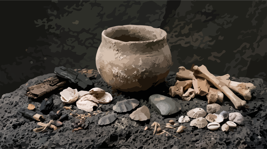
The traces of everyday Benahoarita life are less conspicuous than the monuments of later cultures. They lie in caves, beneath rock overhangs, in pottery sherds, animal bones, and tools.
One particularly impressive window into this world is opened by the Cueva de El Tendal in the north of the island. Its archaeological layers preserve evidence of human use over long periods. The well-preserved stratigraphy is one of the most important sources for the study of pre-Hispanic life on La Palma, providing insights into diet, the economy, manufacturing techniques, and changes across many generations.
What appears today to be a natural cavity was once a place of living and working.
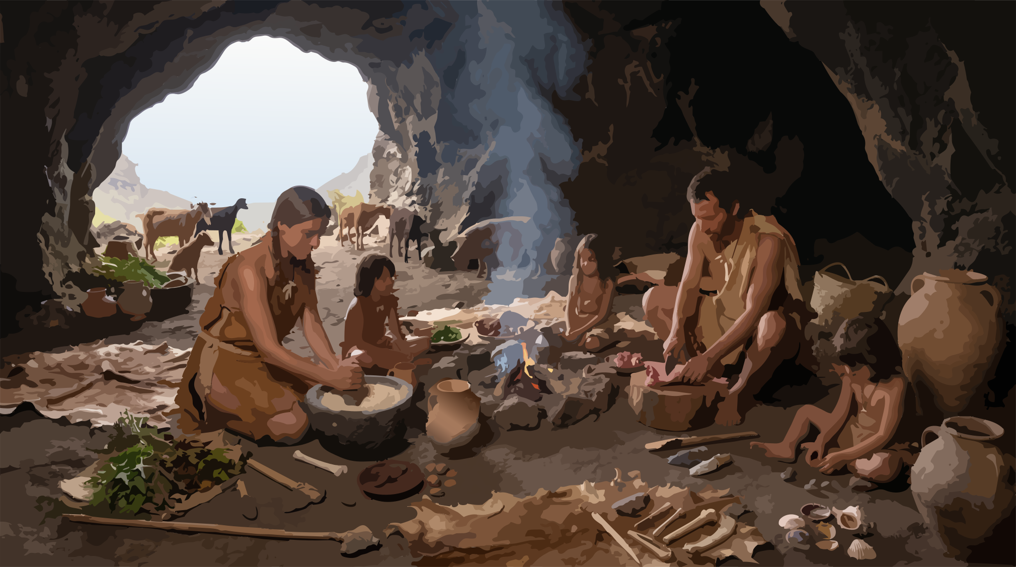
Here, the history of the early settlement becomes tangible.
People lit fires, prepared food, kept goats, processed materials, made vessels, stored provisions, and discarded what was no longer useful. Generation after generation left traces that eventually accumulated into an archaeological history.
The Benahoaritas were by no means simply hunter-gatherers. Goat herding played a central role; alongside it, they made use of a wide range of plant and animal resources and, where conditions allowed, practised agriculture. The island did not offer the same opportunities everywhere – its resources had to be used differently from one place to another.
The people adapted to the island. And they adapted the island to their needs.
The relationship between people and landscape was not one-way. The people responded to the island’s conditions while at the same time altering their environment to make it useful to them.
The Benahoaritas, too, shaped the world in which they lived.
III. An Island of Many Worlds
The cantones and the Ordering of Space
La Palma’s landscape is naturally sharply divided. Deep barrancos cut through the terrain, ridges shape the transitions, and conditions can differ fundamentally within just a few kilometres.
This geography was also reflected in the island’s political organisation. In Castilian sources, La Palma at the time of the conquest appears divided into several territorial units, described as cantones or domains. Their exact boundaries cannot be reconstructed with certainty in every case today.
At their head stood local rulers.
The island was not a political unit in the modern sense, but a network of regional societies with their own interests and structures of power.
Today, we draw a line on a map and call it a border.
Back then, a border could be a barranco.
A mountain ridge.
A path across a pass.
Geography became the foundation of political order.
Whoever crossed a ridge on this island was not merely changing their perspective; they were often entering a different political space at the same time.
IV. An Island You Had to Know
Paths, Water, and the Memory of the Landscape
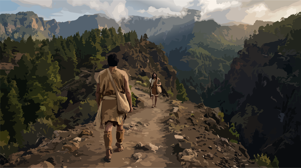
A world like this, despite the grandeur of its mountains, could hardly be viewed from above. There was no map showing the island as a whole at a glance.
People knew it differently.
They knew where a spring emerged. Where goats grazed at certain times of year. Which path led across the ridge. Which ravine became dangerous after rain. Where the forest began and where the view opened out towards the sea.
This knowledge did not have to be written down to be precise.
It was remembered.
Passed on.
Tested.
Corrected.
Over generations, a mental map of the island emerged – a geography of experience.
Perhaps one of the most invisible legacies of the Benahoaritas is precisely this knowledge, almost impossible to grasp archaeologically, of the paths, springs, and transitions that the landscape demanded its inhabitants understand.
V. Signs in Stone
What Remains When Language Falls Silent
Some traces are more visible.
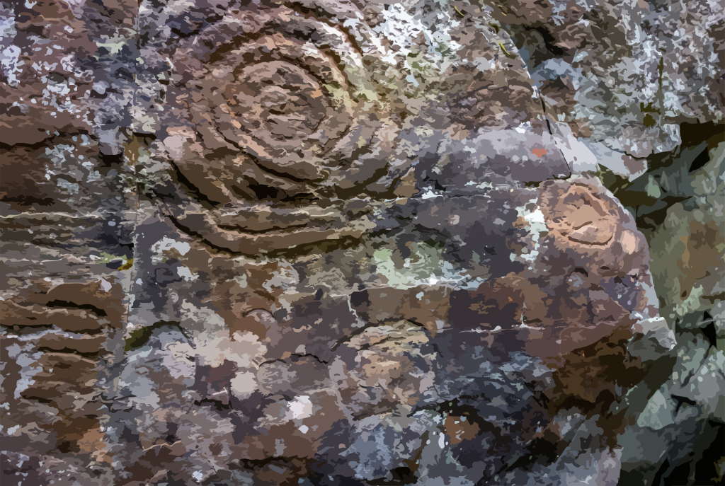
In various places on La Palma, the Benahoaritas covered rock surfaces with geometric signs. Particularly impressive are the sites of La Zarza and La Zarcita in the north. Spirals, concentric forms, and lines cover the rock there. The two sites are among the island’s most important prehistoric rock-art sites and have been under special heritage protection since 1991.
We can see them.
What they meant, we no longer know.
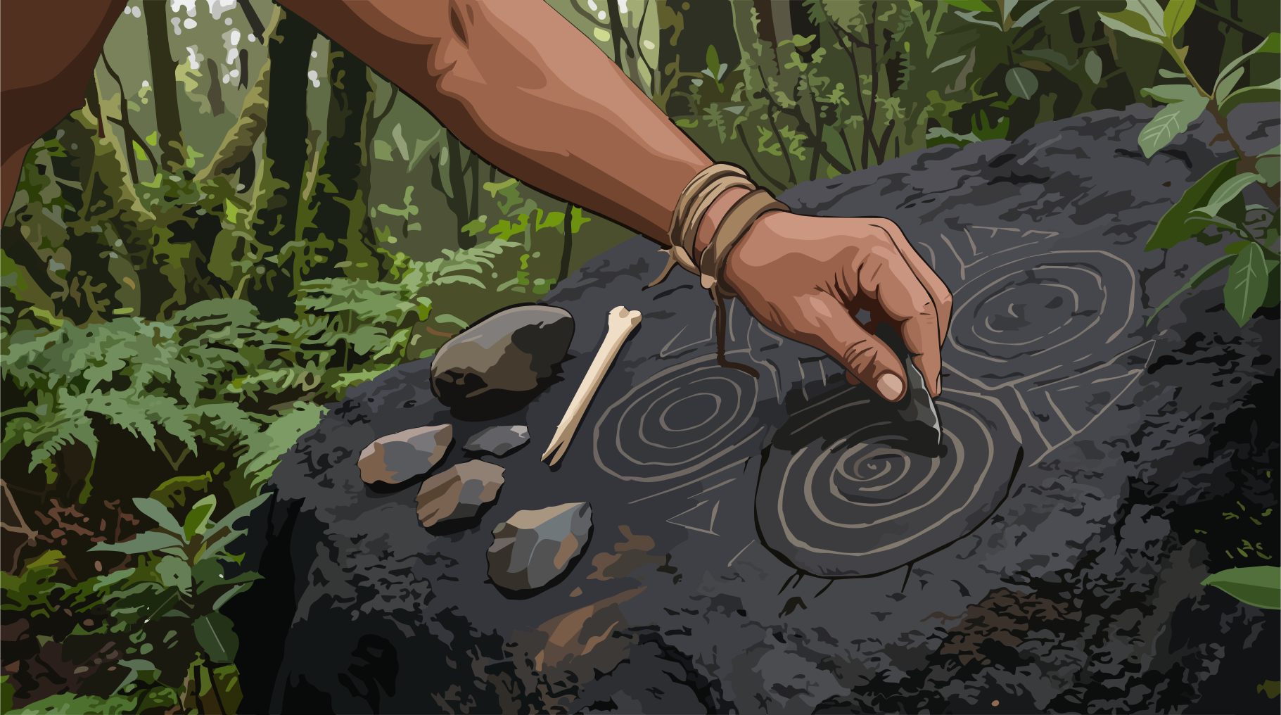
Their exact meaning remains the subject of scholarly debate. The location of some sites near springs or other prominent landscape features has led to various interpretations. Yet this is precisely where caution is needed: we know that these signs were created. What their creators intended to express lies beyond our certainty.
That does not make them any less fascinating.
A sign whose meaning has been lost forces us to distinguish between knowledge and interpretation.
Perhaps that is a particular form of historical proximity: we know that someone stood before us at this rock and wanted to inscribe something into it.
Only what that something was, we no longer know.
VI. Between Earth and Sky
A Landscape Full of Meaning
Nature itself was more than mere backdrop in the world of the Benahoaritas.
In the surviving accounts, we encounter ideas about supernatural beings, religious practices, and places of particular significance. One of the most striking is the Roque Idafe in the Caldera de Taburiente.
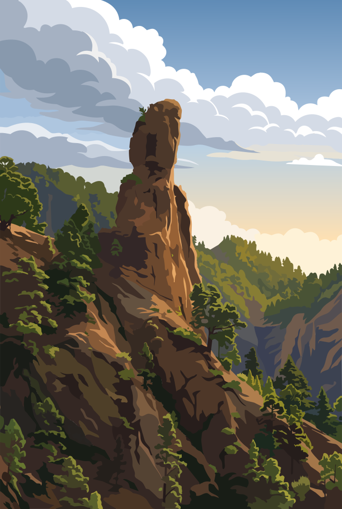
According to the traditions handed down to us, this rock was regarded as a supporting pillar of the world. Its collapse was feared, and offerings were made to it. Archaeological evidence in the area of the Caldera – including rock formations with cazoletas and grooves, as well as so-called aras – also points to ritual practices, although their exact meaning has not been established in every case.
The written accounts, however, come from a period when the original society was already under the pressure of conquest and was being described from the outside. What we know about its worldview is therefore always also a history of transmission.
Yet even through this filter, a world emerges in which the landscape could be more than mere backdrop.
A mountain could be a boundary.
A spring, a source of life.
A rock, part of a cosmological order.
Home does not come into being simply because we inhabit a place. It comes into being when we give that place meaning.
VII. When Another World Came Ashore
The Conquest
At the end of the 15th century, the history of the island changed fundamentally.
With the Castilians came a society organised according to different political, religious, and economic ideas. The conquest was not a single moment, but a process involving military violence, alliances, submission, and resistance.
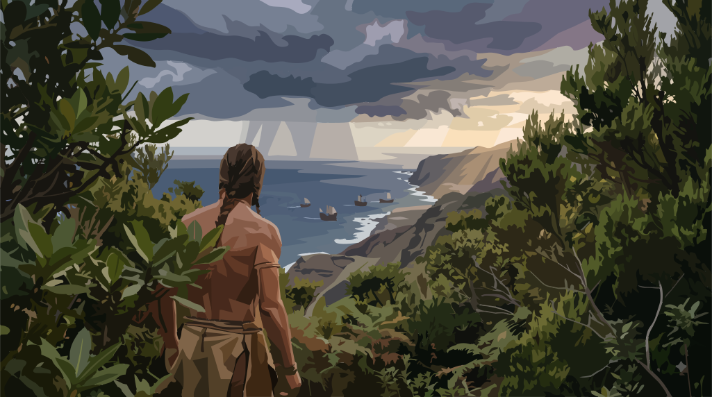
The Benahoaritas did not encounter an abstract European culture, but actual people with weapons, ships, Christian beliefs, and a foreign understanding of rule and ownership.
Some areas were subjugated earlier; others resisted for longer.
Aceró, the territory of the present-day Caldera de Taburiente, held out the longest.
There, the final resistance was concentrated.
VIII. Aceró
The Last Landscape
Aceró was no random place for the final act.
The Caldera offered protection, difficult terrain, and natural barriers. What the people had known for generations as their living environment now served them in defence.
At the head of the resistance stood Tanausú, the ruler of Aceró. According to the surviving accounts, the Caldera was the last of the twelve domains to resist the Castilian conquest.
His story remains inseparably linked to the Caldera.
Yet here, too, caution is necessary: the accounts of Tanausú come from the traditions of the conquest period. We do not know him through his own words.
Perhaps that is precisely what makes his story so powerful.
A person whose own voice has been lost remains remembered through a landscape and through the records of his opponents.
In 1493, Aceró fell.
With its submission, the political independence of La Palma’s pre-Hispanic societies came to an end.
The island’s old name receded into the background; in the new order, we encounter San Miguel de La Palma.
Benahoare remained in the traditions that were handed down.
IX. The People Remained
What Came After the Conquest
The conquest meant violence, dispossession, enslavement, and a profound reorganisation of social life.
But it did not mean that the people who had lived on the island before it suddenly disappeared.
Many were baptised, integrated into the new society, or carried away. Others remained. Families intermarried, languages and religious ideas changed or disappeared. Property relations and political structures were reorganised.
1493 therefore marks less the end of a population than the end of its political and cultural independence.
There is no simple before and after.
There are people who remain.
People who are forced to leave.
People who adapt.
People whose origins eventually become absorbed into the new society.
The history of La Palma is not only the history of a defeat.
It is also a history of survival.
X. What Lives On
Today, we encounter La Palma’s pre-Hispanic history in many places.
At archaeological sites.
In caves.
In rock engravings.
In museums.
In research.
And sometimes in a name whose original meaning we can only begin to glimpse.
But the legacy of the Benahoaritas lies not only in individual artefacts.
It also lies in the realisation that long before the modern world, La Palma was already an inhabited, used, and understood landscape.
The island was never empty.
And the people who live on it today do not stand outside this history.
They carry it forward.
An Island That Is Never Finished
The island has borne many names.
One of them was Benahoare.
Since then, new names, people, and stories have been added. Some traces of the older world have disappeared; others have survived or remain hidden – beneath sediments, volcanic deposits, or the layers of a landscape that is itself constantly changing.
For the traces of the past are not immutable either.
The Caldera continues to erode. The Barranco de las Angustias cuts deeper into the massif. Rocks weather, slopes change, forests move.
The landscape we know today is only a snapshot.
Geologically, La Palma is a young island. What appears finished to us is, on the scale of geological time, scarcely more than the blink of an eye.
The book of La Palma has only just been opened.
People write their chapters into it.
Yet the landscape keeps writing: volcanoes build up the land, while water and time wear it away again.
Perhaps that is the true peculiarity of this island:
It does not preserve its history by standing still. It carries it forward.
- [1]María del Carmen Borrego Plá. La Fundación de San Miguel de Las Palmas. Coloquios de Historia Canario-Americanahttps://revistas.grancanaria.com/index.php/CHCA/article/download/7970/6969/8180
- [2]Jesús Pérez Morera. El convento dominico de San Miguel de La Palma después de la invasión francesa de 1553: discurso escatológico y contrarreformista. Revista de Estudios Generales de la Isla de La Palma / Universidad de La Lagunahttps://portalciencia.ull.es/documentos/5ea21be52999521f7d520fd2
- [3]Amelia del Carmen Rodríguez Rodríguez; Juan Francisco Navarro Mederos. La industria malacológica de La cueva de El Tendal (San Andrés y Sauces, isla de La Palma). Vegueta: Anuario de la Facultad de Geografía e Historia / Universidad de Las Palmas de Gran Canariahttps://accedacris.ulpgc.es/handle/10553/2384
- [4]Fernández-Palacios et al.. Reconstructing formation processes at the Canary Islands indigenous site of Belmaco Cave (La Palma, Spain) through a multiproxy geoarchaeological approach. Geoarchaeology / Wileyhttps://doi.org/10.1002/gea.21972
- [5]Jacob Morales; Amelia Rodríguez; Pedro Henríquez-Valido; et al.. Agriculture and crop dispersal in the western periphery of the Old World: the Amazigh/Berber settling of the Canary Islands (ca. 2nd–15th centuries CE). Vegetation History and Archaeobotany / Springer Naturehttps://doi.org/10.1007/s00334-023-00920-6
- [6]Jacob Bentejui Morales Mateos; Amelia del Carmen Rodríguez Rodríguez; Aguedo Marrero. Prehistoric Plant Use on La Palma Island (Canary Islands, Spain): An Example of the Disappearance of Agriculture in an Isolated Environment. Taylor & Francis / Archaeology of African Plant Usehttps://doi.org/10.4324/9781315434018-23
- [7]Pedro Nolasco Leal Cruz. Toponimia y antroponimia benahoarita. Tres historias benahoaritas de Abreu Galindo mal interpretadas. Biblioteca Digital del Español de Canarias / Academia Canaria de la Lenguahttps://bdec.academiacanarialengua.org/archivo/toponimia-y-antroponimia-benahoarita-tres-historias-benahoaritas-de-abreu-galindo-mal-interpretadas/
Comments
No comments yet. Be the first to write one.